Wind River High Route
Published:
Because the Wind River High Route is considered by many to be among the best backpacking routes mile for mile, it wasn’t hard to feel excited for my next trip once I finally quit dragging my feet and left Stanley. Andrew Skurka’s Wind River High Route is a ninety-seven-mile route traversing its eponymous range end-to-end, through deep, glacier-carved valleys, past hundreds of lakes and milky rivers, and over several high passes and peaks. With two thirds of the route off-trail and with an average of 620 vertical feet of change per mile, I had my work cut out for me. I also planned to tag Wyoming’s highpoint, Gannett Peak, so I added to my load of seven days’ food an ice axe and micro-crampons. Ultimately, weather scared me off Gannett and the last off-trail section of the route, but these are only two among two dozen things that I now want to return to the Winds to do.
You can find my route here and a gear list here. If you’ve stumbled onto this page, I’d suggest thinking twice before blindly following my route.
Day 1
I rose at a leisurely hour at the northern terminus of the route, the remote Trail Lakes trailhead near the small town of Dubois, and, having packed up the night before, I immediately started walking down the road whence I came with my thumb out. I needed to walk or hitch down this road, north to Dubois, then south eighty miles to Lander, where I would walk or hitch down one last road to Bruce’s Bridge and start hiking. After being rebuffed by the two guys in their empty car I talked to the night before and suffering through twenty minutes of cold rain, I was picked up by a retired pastor who was so kind he offered me money to buy myself breakfast in Dubois when I turned down his offer to join him! I was feeling urgency to get down the road and start hiking, so I turned him down again and proceeded to stand on the corner for some time with no bites.
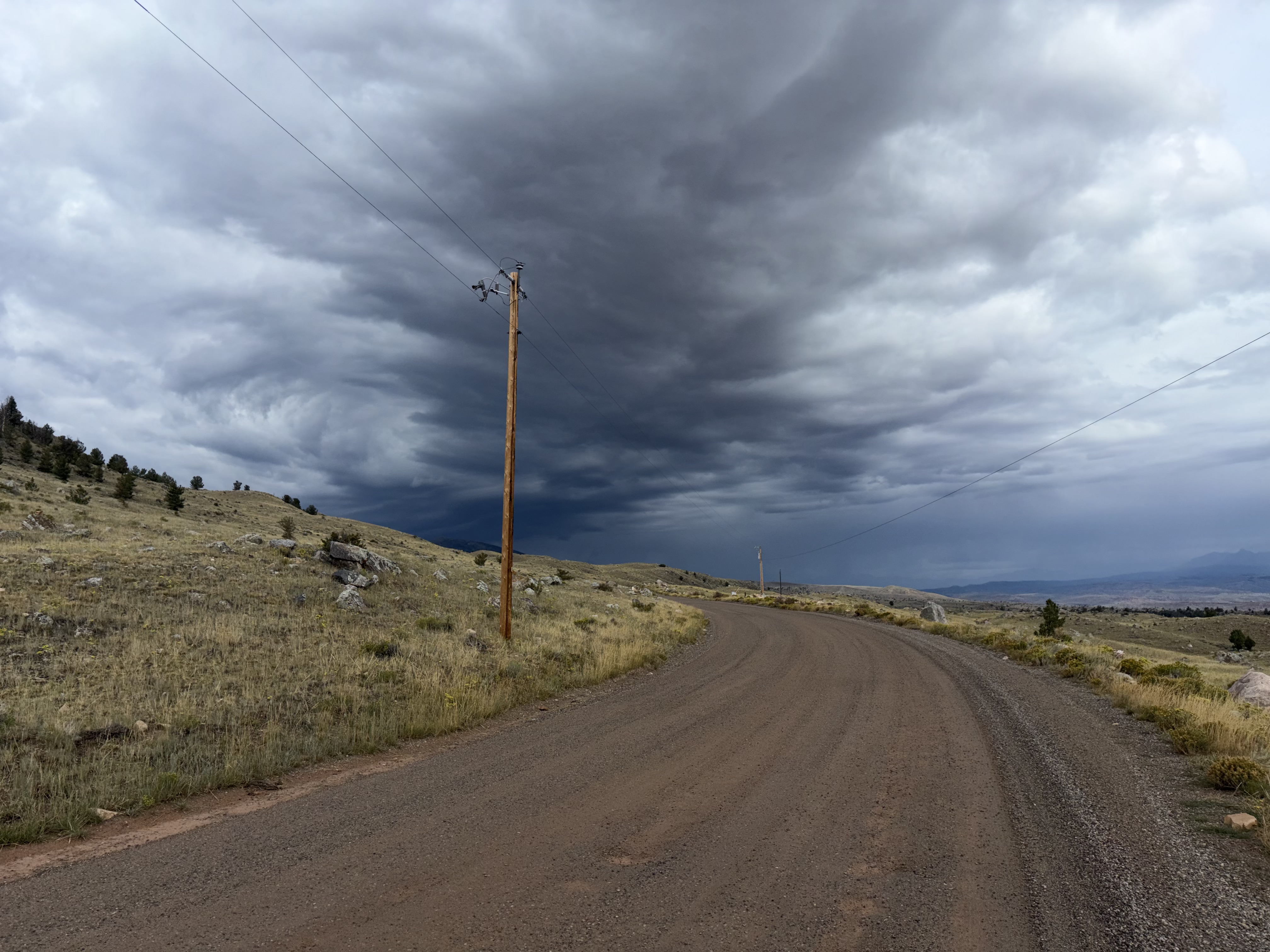
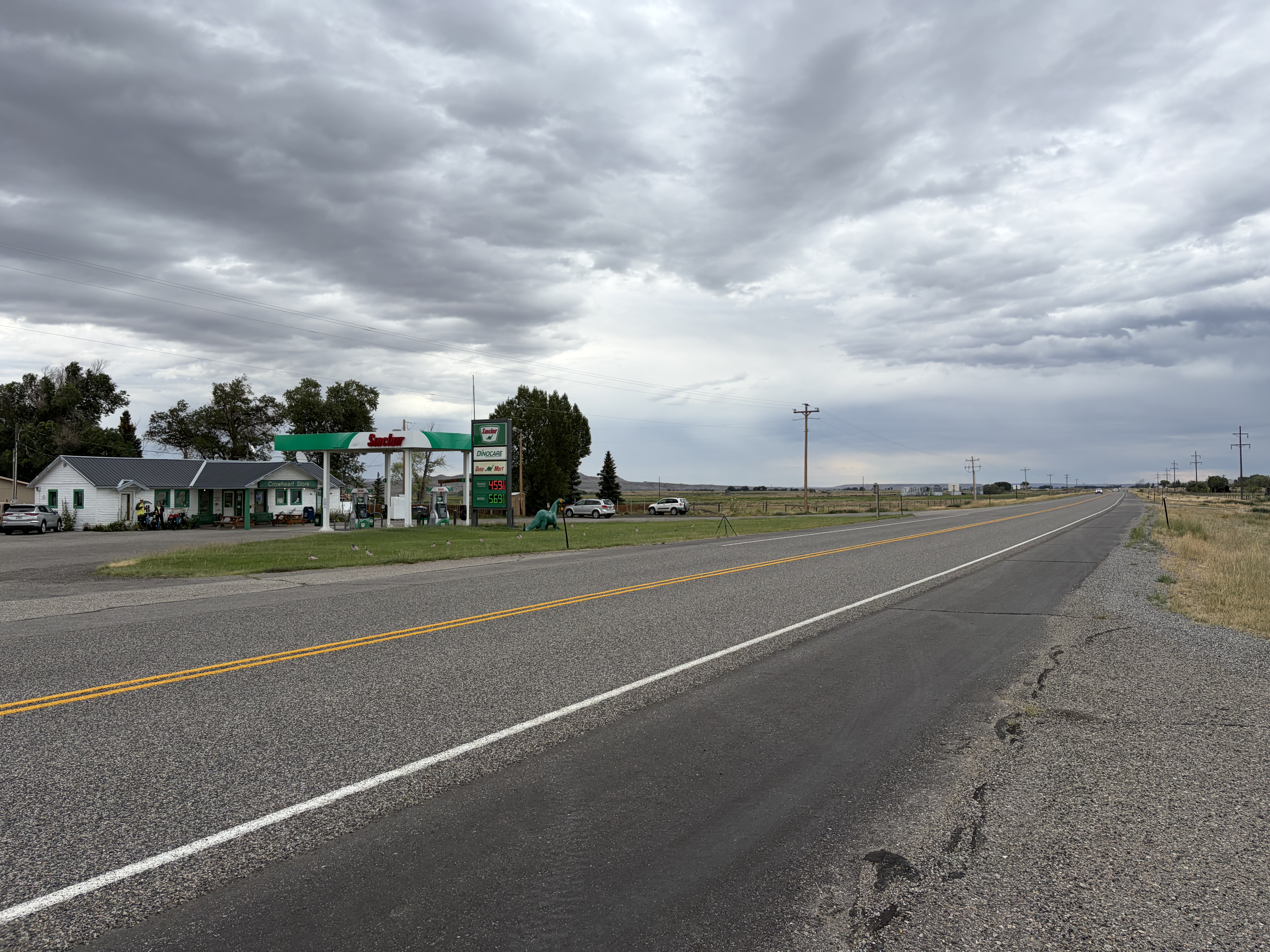
After two hours of cold rain and disapproving looks, a mechanic heading to Crowheart (halfway) picked me up. This got the ball rolling again, and after three more rides (with a Shoshone rancher, a newly minted army officer, and a BLM civil engineer) and two more hours I was walking north from Bruce’s Bridge. This was a time-consuming start to my trip, but it meant I wouldn’t have to deal with any logistics on the back end when I would be hungry and tired and due to be in Texas.
I was hiking up the Popo Agie River (not pronounced the way you did in your head) by 1 p.m., and it was immediately pretty, with big broken granite slabs and several waterfalls. I missed many opportunities to eat a last town meal, but I felt antsy all day to get on trail and thus felt validated by my pretty environs.

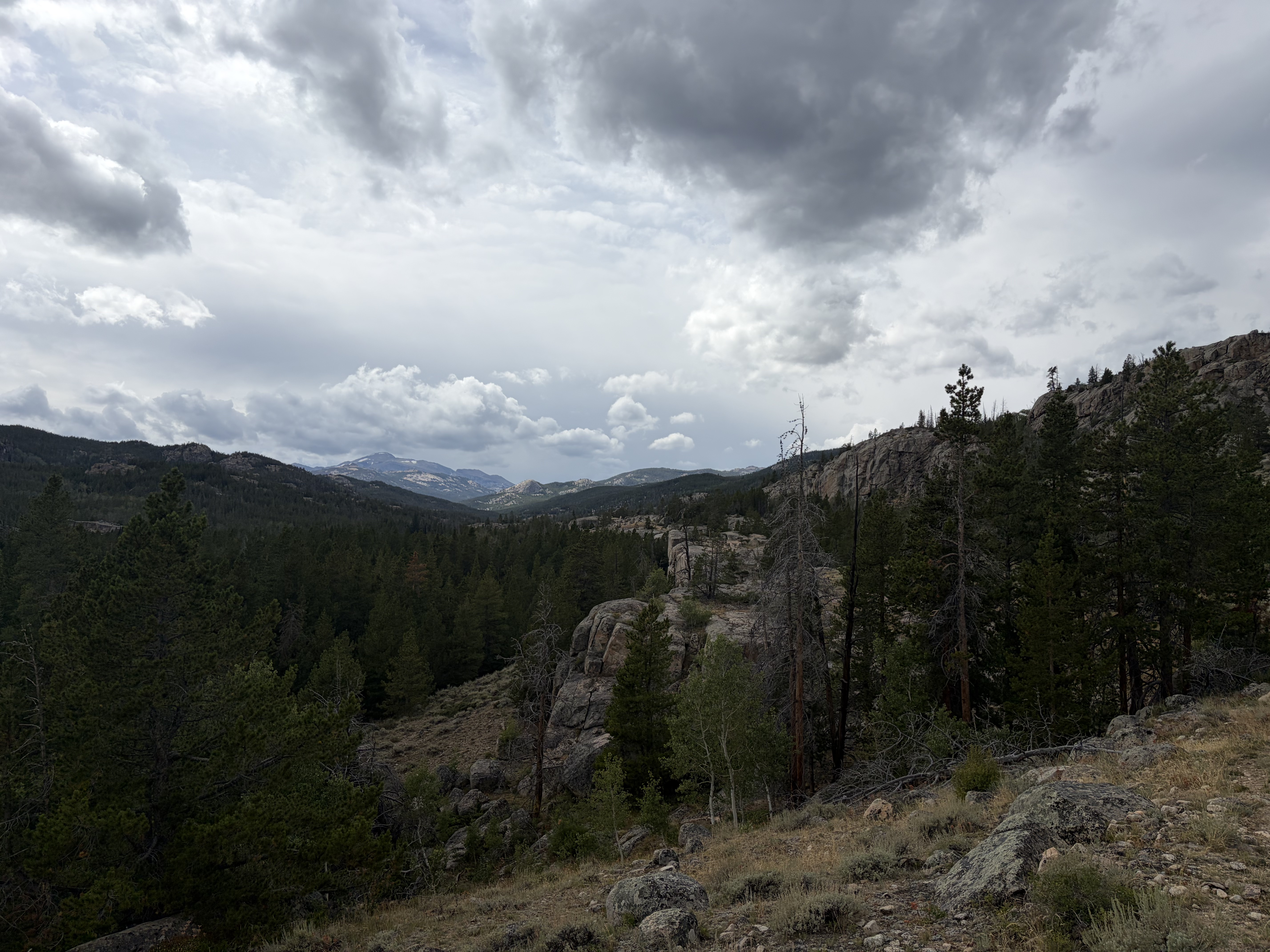
Soon the trail plunged into dense lodgepole pine, not to emerge for eight miles or so. Thus I was left with my thoughts. I did get a few nice looks at the Popo Agie, a huge marmot, and many birds.


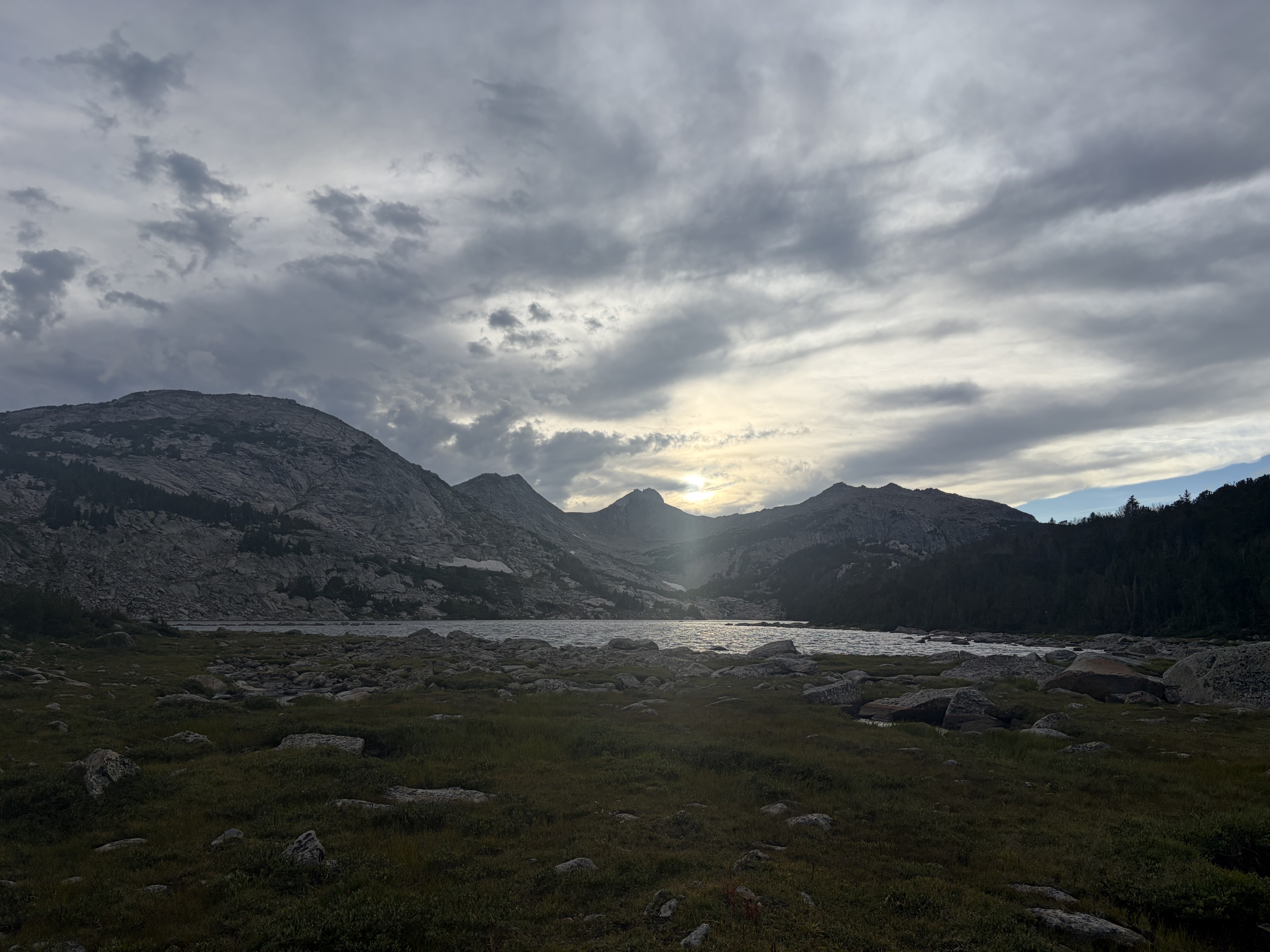
I ate dinner a mile south of the Deep Creek Lakes, where I subsequently found a protected campsite in some dense krummholz at 10,500 feet. I ended up hiking 15.5 miles with four-thousand feet of gain, plus some road miles before I found my first and last rides. All on smooth trail, these will undoubtedly be the easiest miles of my trip; the next stretch of trail one-third this length would be the final seven miles of the route. The next day, after a quarter of a mile, I would leave the trail for good. Skurka’s annotation on the map excited me: “beyond, all alpine.”

Day 2
Toughie, starting with eight off-trail miles, the first four of which took me four hours! There was no doubt after that day that this would be a physical challenge.
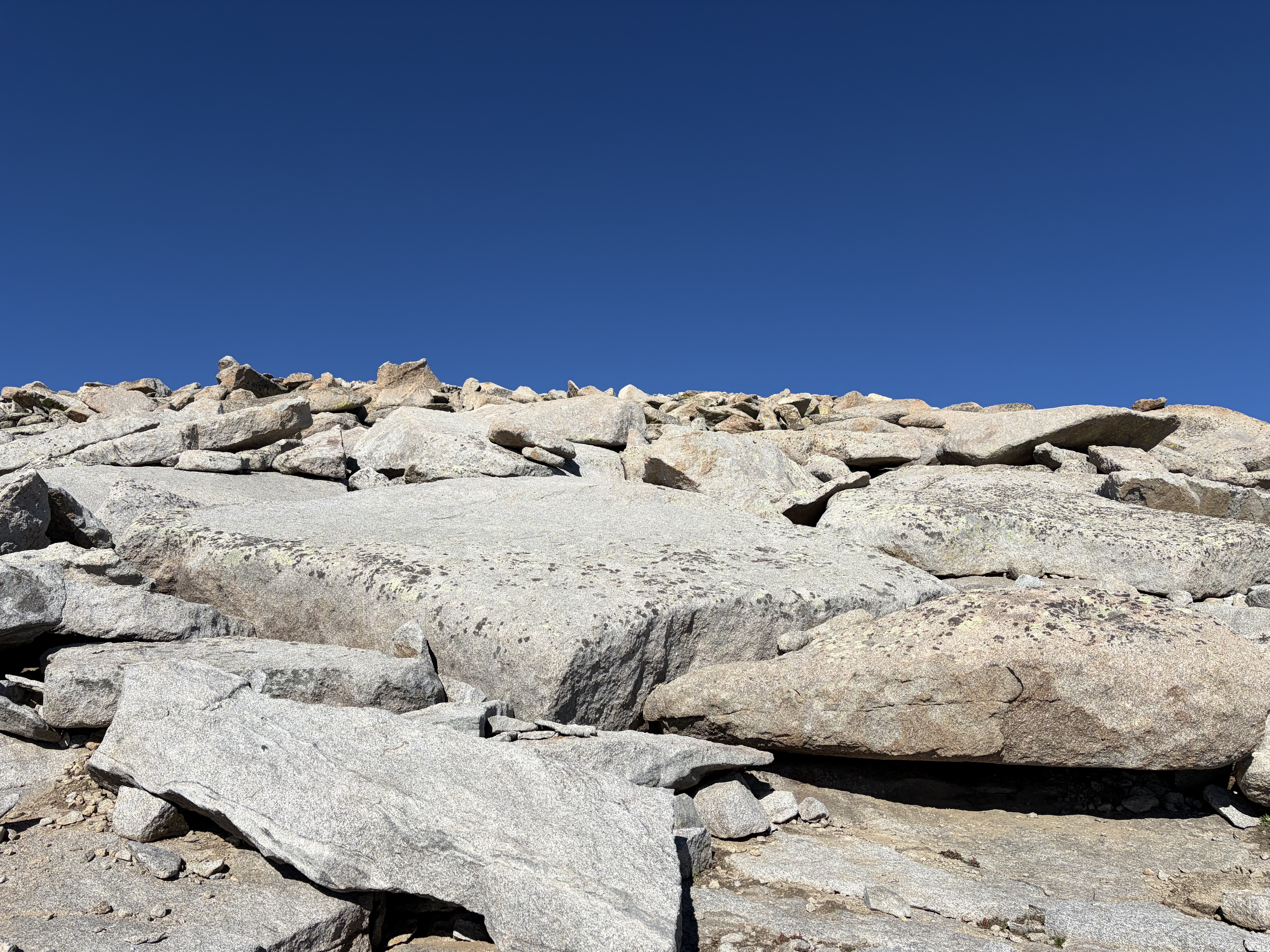
My first destination was the summit of Wind River Peak, 13,199 feet and the range’s southernmost thirteener. It was a long slog up tundra and talus to Chimney Rock at 12,653 feet, where the grade steepened but the scramble became a bit more fun. I was in survival mode for the whole three-thousand foot climb.


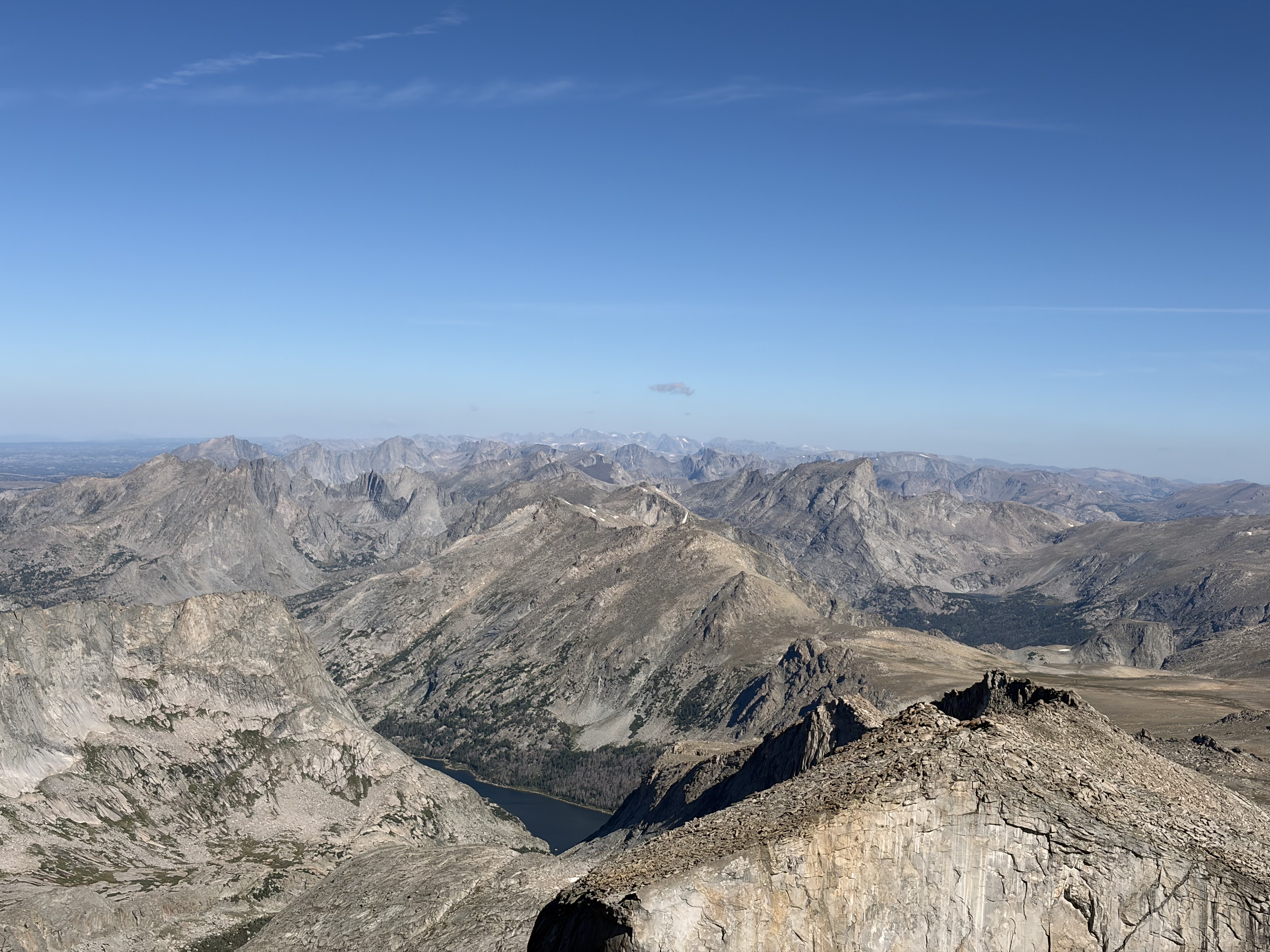
The summit was windy (go figure), so after snapping a few photos of the next sixty miles of the route, I sheltered under a boulder and studied my map for the descent. Notice Gannett Peak’s distinctive horizontal snowfield in the far distance.
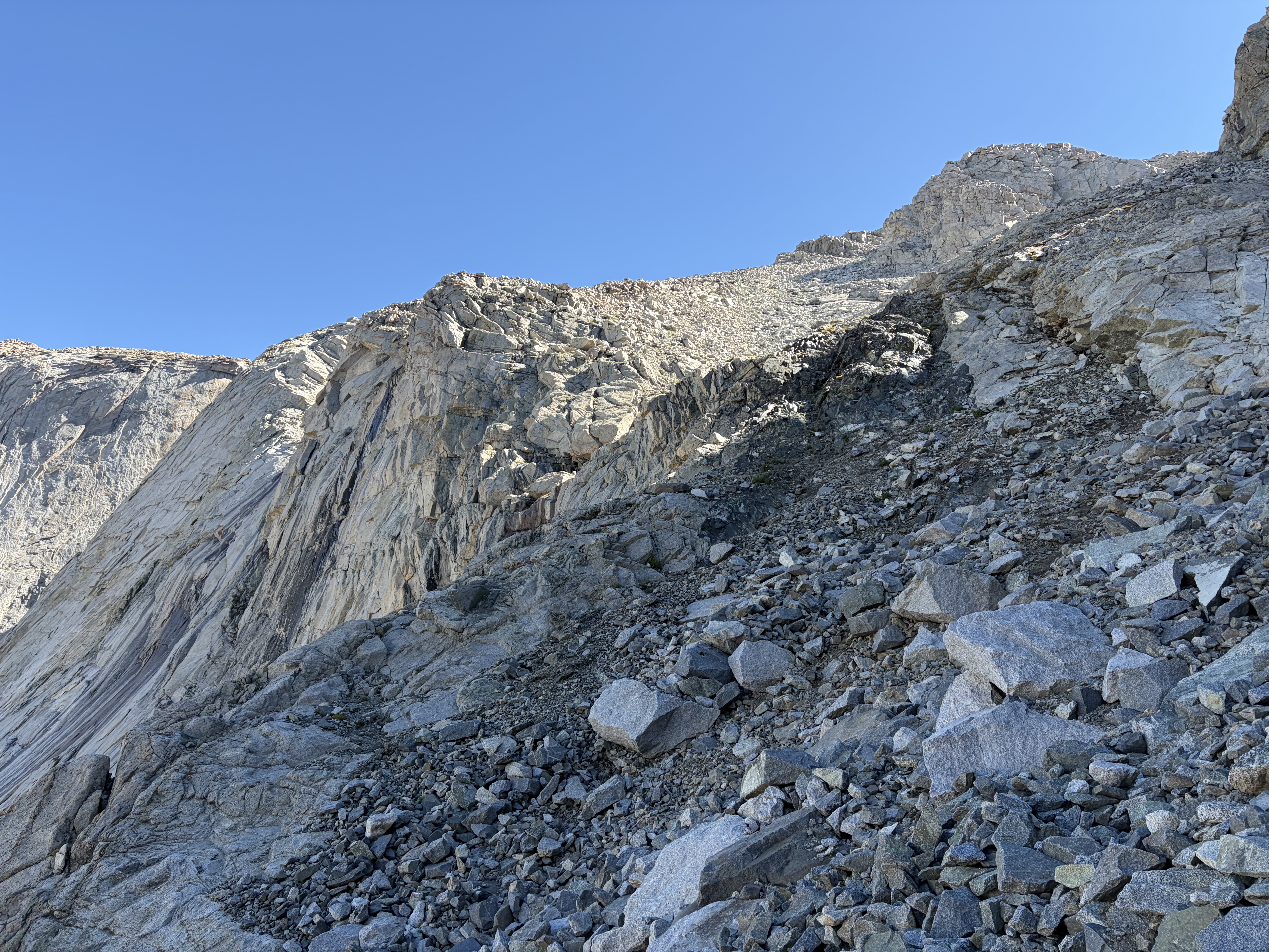
The descent off of Wind River Peak is probably the most notorious feature of the whole route; it’s variously known as the west gully, Skurka gully, or Fuck You Skurka gully. It’s a long and steep gully of unstable medium and small talus flanked by a wall and a band of sheer cliffs. To avoid the very steep mouth of the gully, the route has you take a long descending traverse across the west face of the peak. The descent was tedious but not scary or dangerous, and I would probably try to enter the gully directly should I return, since this would remove much of the tedium at the cost of one hundred feet or so of very steep talus. I was alternately disturbed and entertained throughout the descent by the smashing of the glacial ice flows in the lake below and the crashes of rockfall launched by the melting glacier which feeds it.


The terrain eased up a bit by the time I reached the unnamed lake at 11,185 feet, but it was never really easy until I had finished contouring around the lake and descending to Black Joe Lake (10,258 feet).

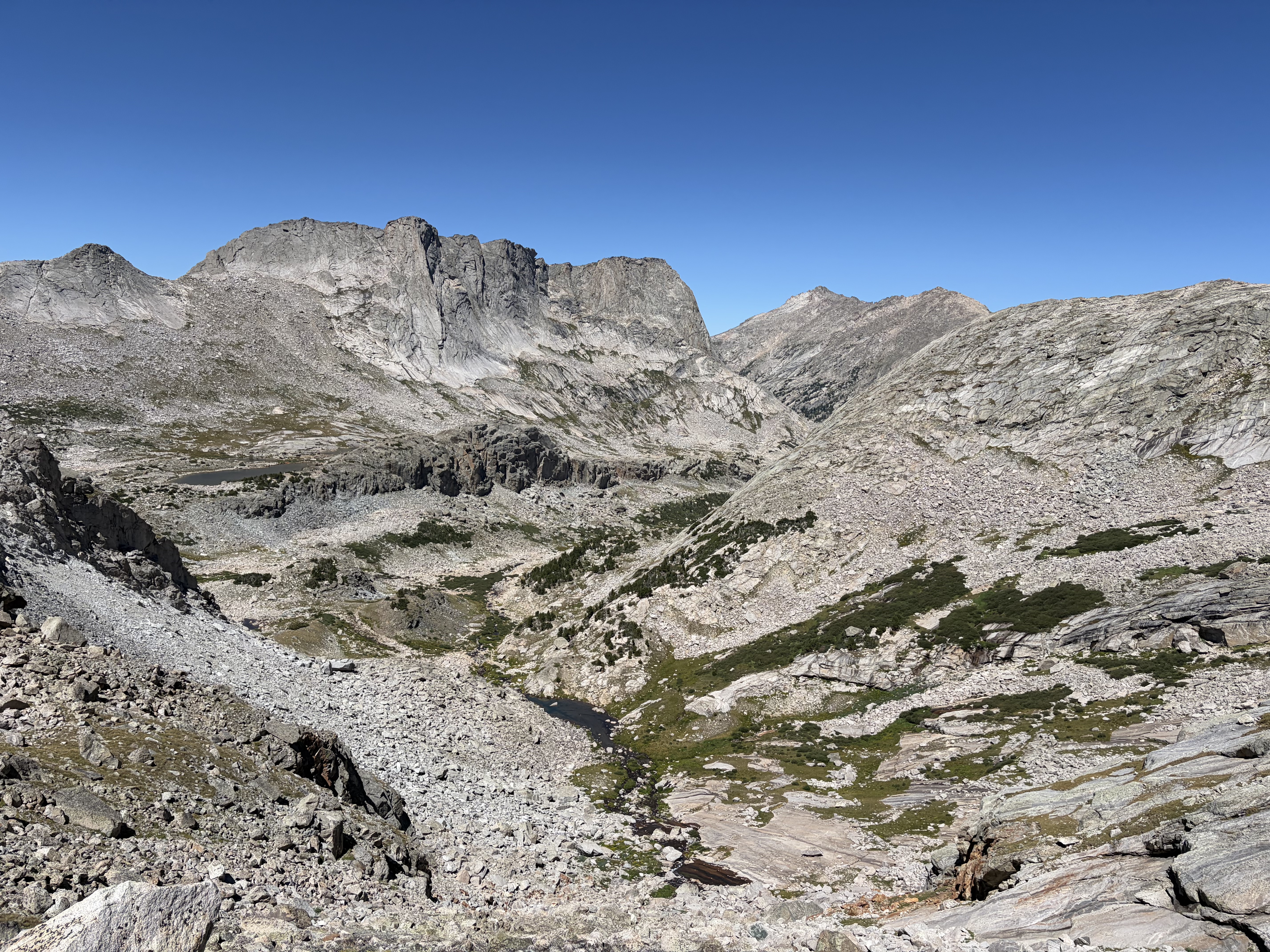
Around the north side of Black Joe Lake was a rough social trail which made things easier, but the western tip of the lake is flanked by sheer granite cliffs, and the 250 foot climb necessary to get over them left me feeling even more drained. All my backpacking trips this year have left me missing my friends from the PCT, but today it hit harder than usual. After thinking about this and related threads for a while at the outlet of Black Joe, I crossed the creek it engenders and soon enough was marching down a trail (for the first time in seven or eight hours) towards Big Sandy Lake and too much civilization.

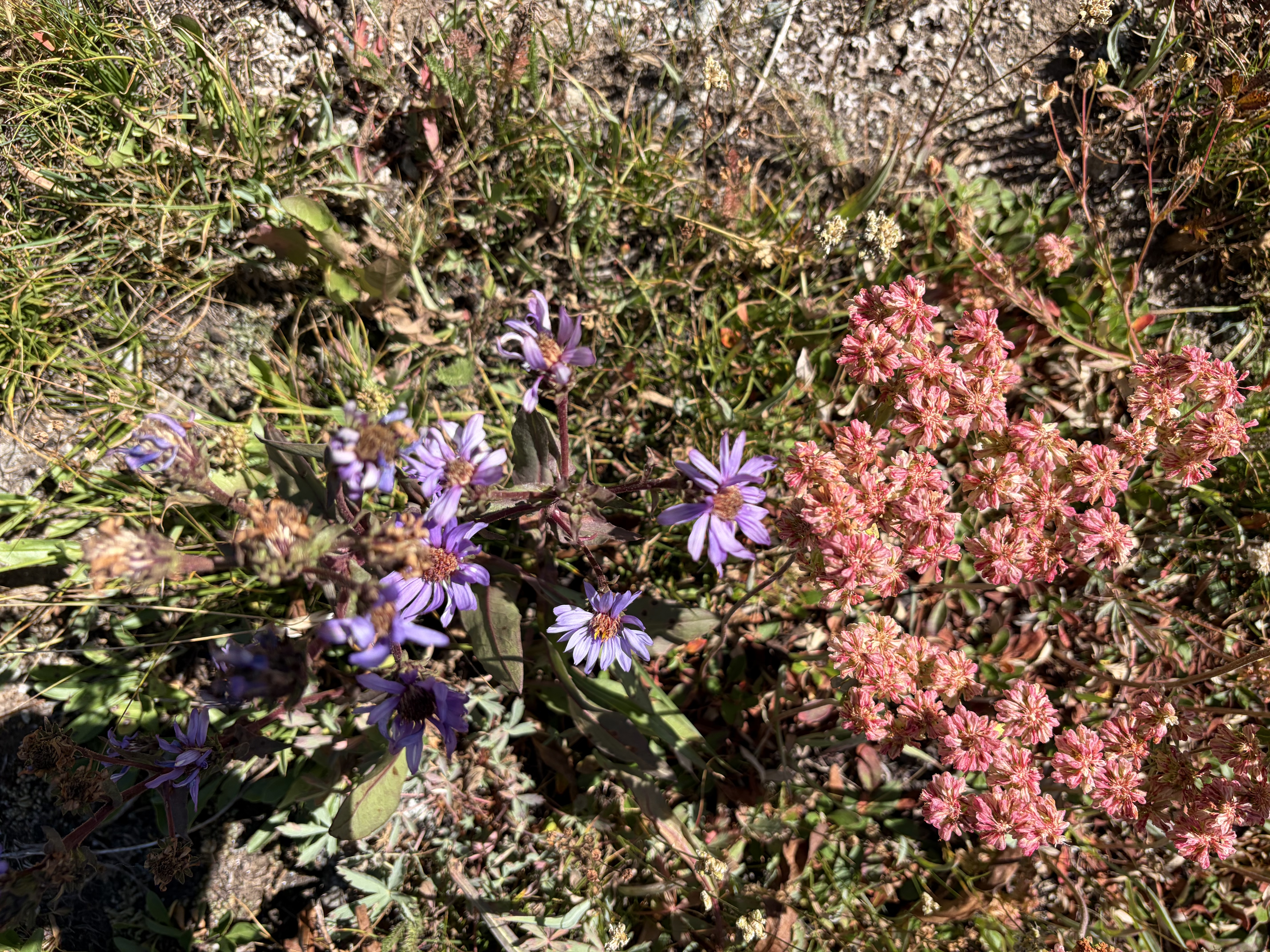
Indeed, I started seeing scores of people, too many to count. I develop a misanthropy when I spend a lot of time alone with my thoughts, and this is only bolstered by seeing people misbehave in these beautiful places. Despite this, I had a nice conversation with a pair of modelesque climbers while I took a break before my next pass. The hike to Jackass Pass, my entrance to the famed Cirque of the Towers, was actually really easy, with a well-maintained trail to the top and lots of pretty granite and fat marmots to entertain me.
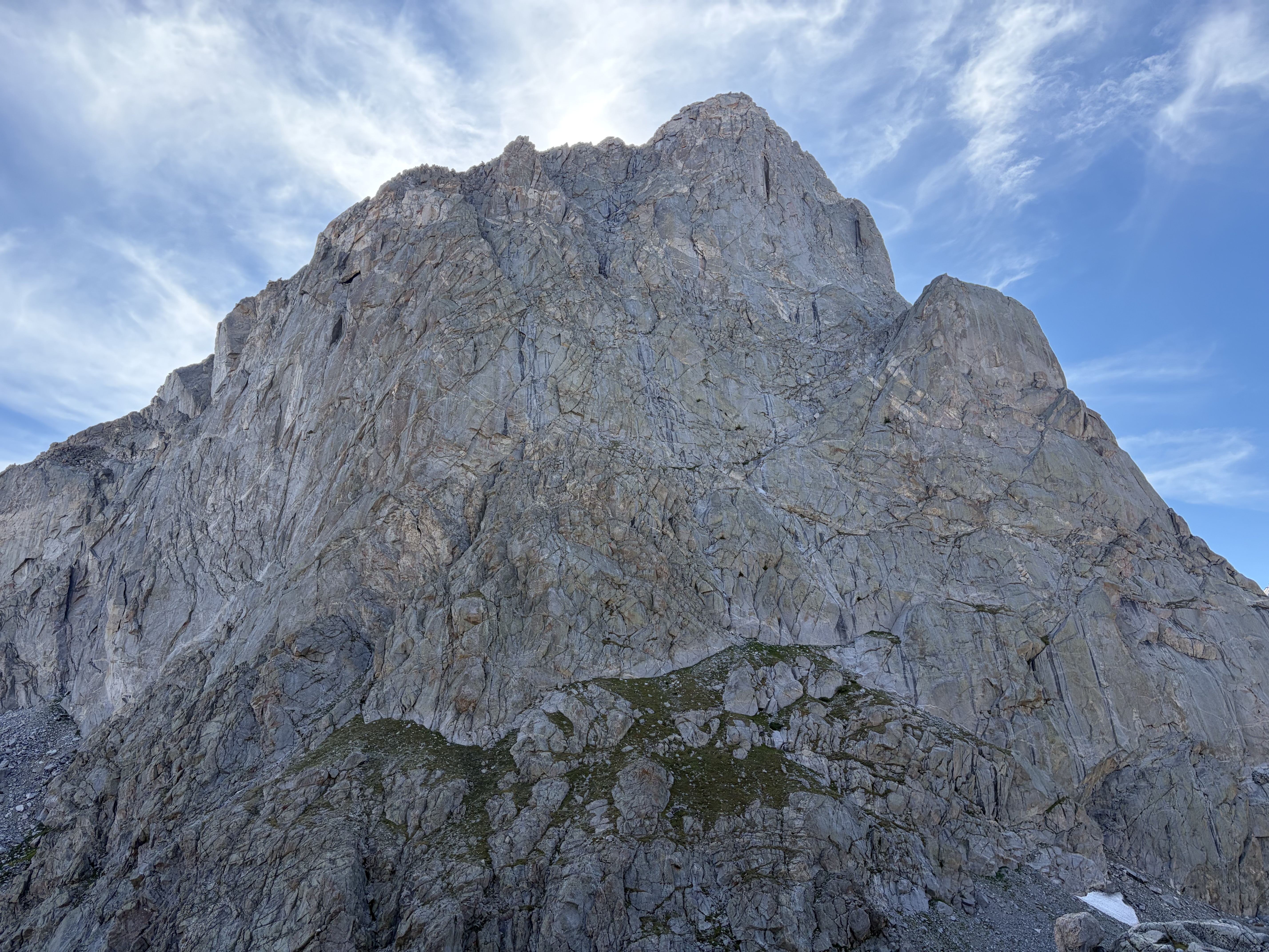
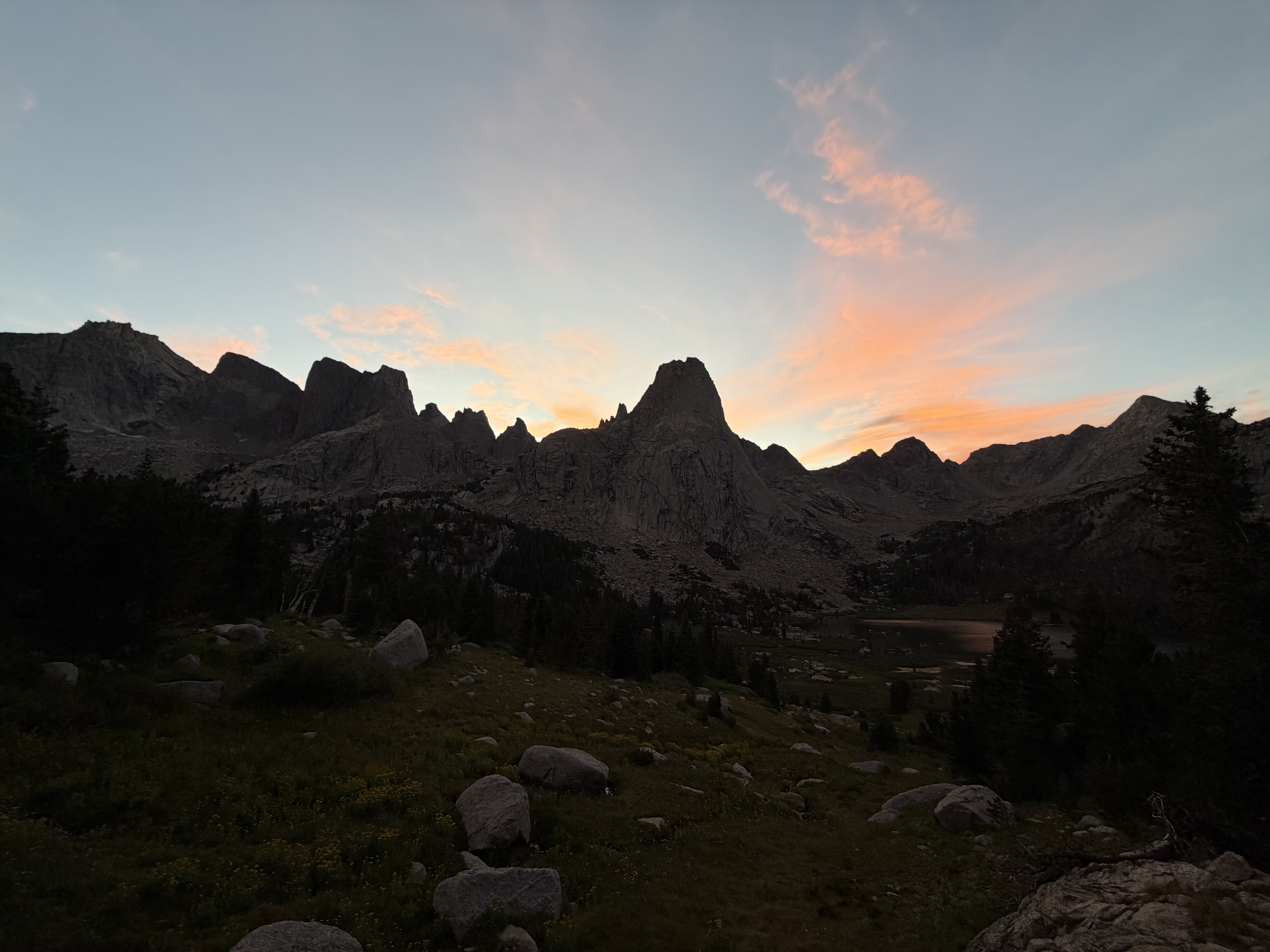
The cirque was stunning, so much so that I decided to camp early. With three hours of daylight and lots of energy left from my second wind, this was a difficult choice for my thru-hiker brain, but the scenery was too stunning to pass up.


Day 3
I slept in until 6:30 and was hiking ten minutes later, but various delays (an older guy whose photos I took of him were never quite right, the realization that I hate my breakfast, and the struggle to find a virgin LNT poop site in the most popular basin in the state outside of the Tetons) meant I wasn’t really hiking up towards New York Pass until 7:30. Even then, I messed up by misidentifying the pass, leading me to follow a pair of climbers ascending a very blocky lateral moraine on their approach to climb Pingora Peak while I could have approached New York Pass via the mellow tundra to the northeast. Here’s the great photo the geezer took of me.
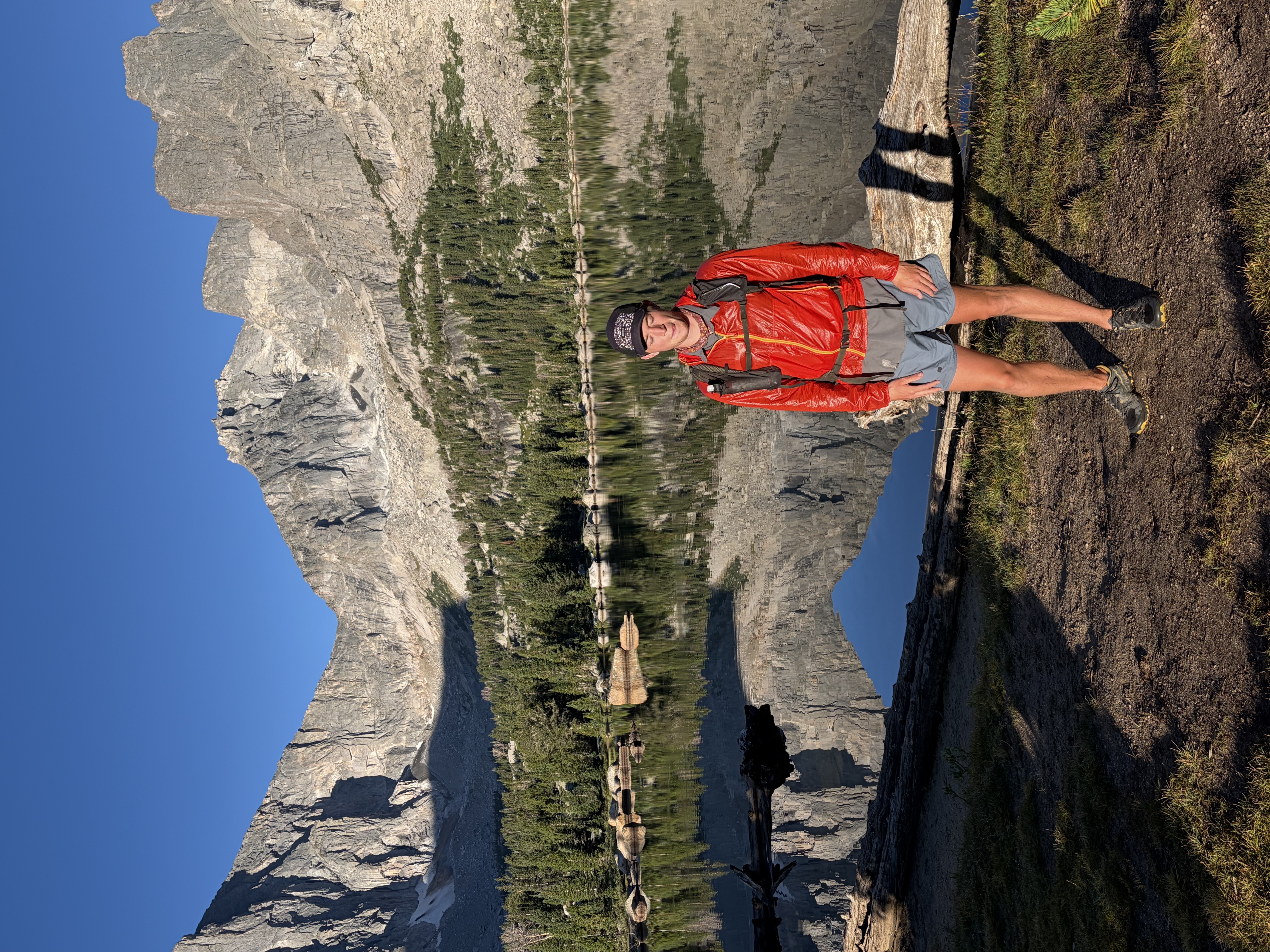
This mistake deposited me on the wrong side of the gully leading to the pass, so, rather than wasting more time traversing, I ascended a few hundred feet of very loose gravel and sand to reach the fun class two slab scramble on the climber’s right of the pass. As usual when things are engaging, I was at the top before I knew it.

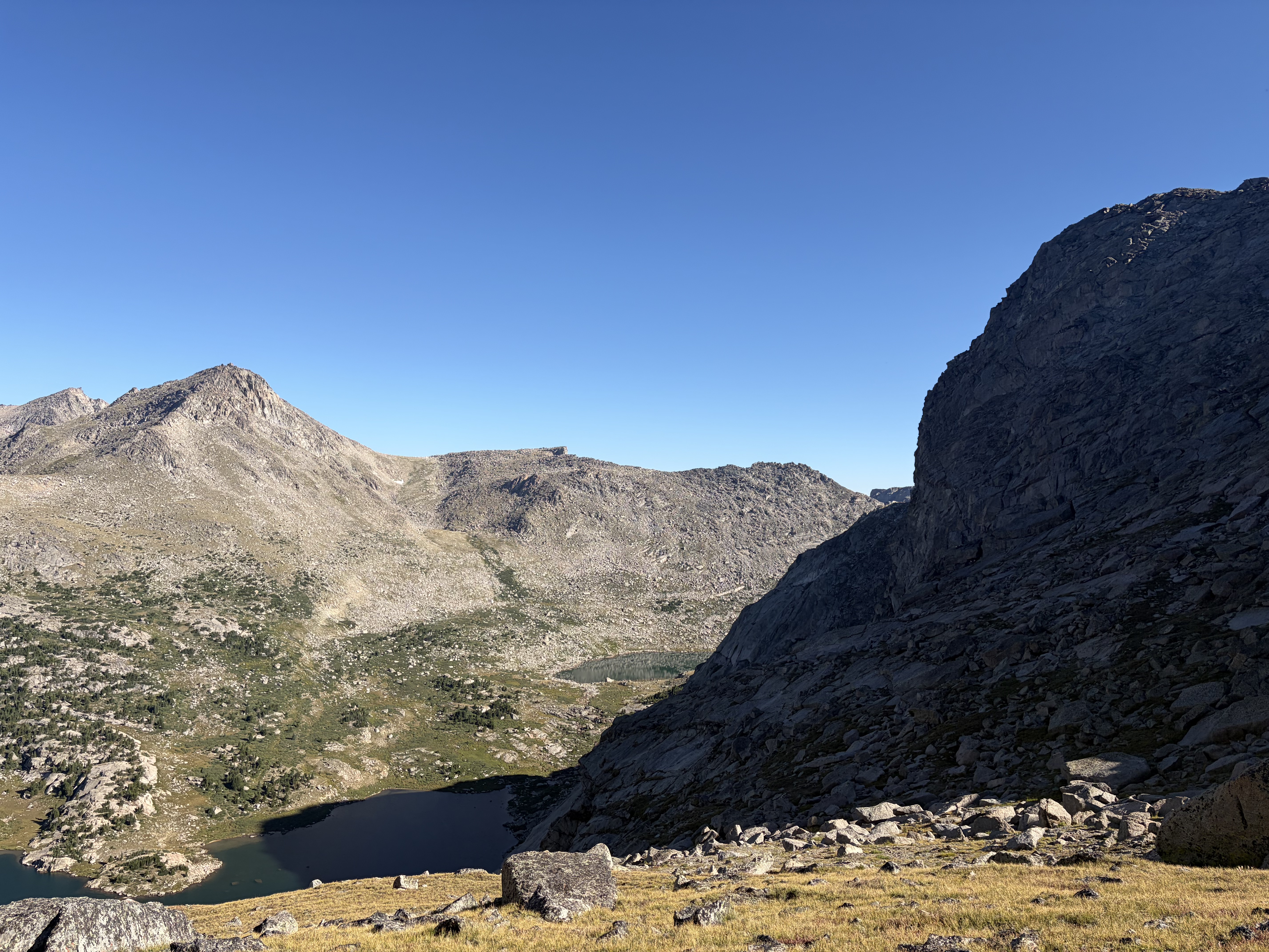
The descent wasn’t as bad as the west gully of Wind River Peak, but the loose talus it consisted of required enough care that it was nearly noon by the time I reached Shadow Lake and the trail which would take me the five miles to Skull Lake, where I met a group of five backpacking for ten days with three llamas as pack animals! Here I left the trail and turned northwest to hike cross country along the East Fork River. The creek was stunning, alternately rushing over weathered granite slabs and wide sandy beds.

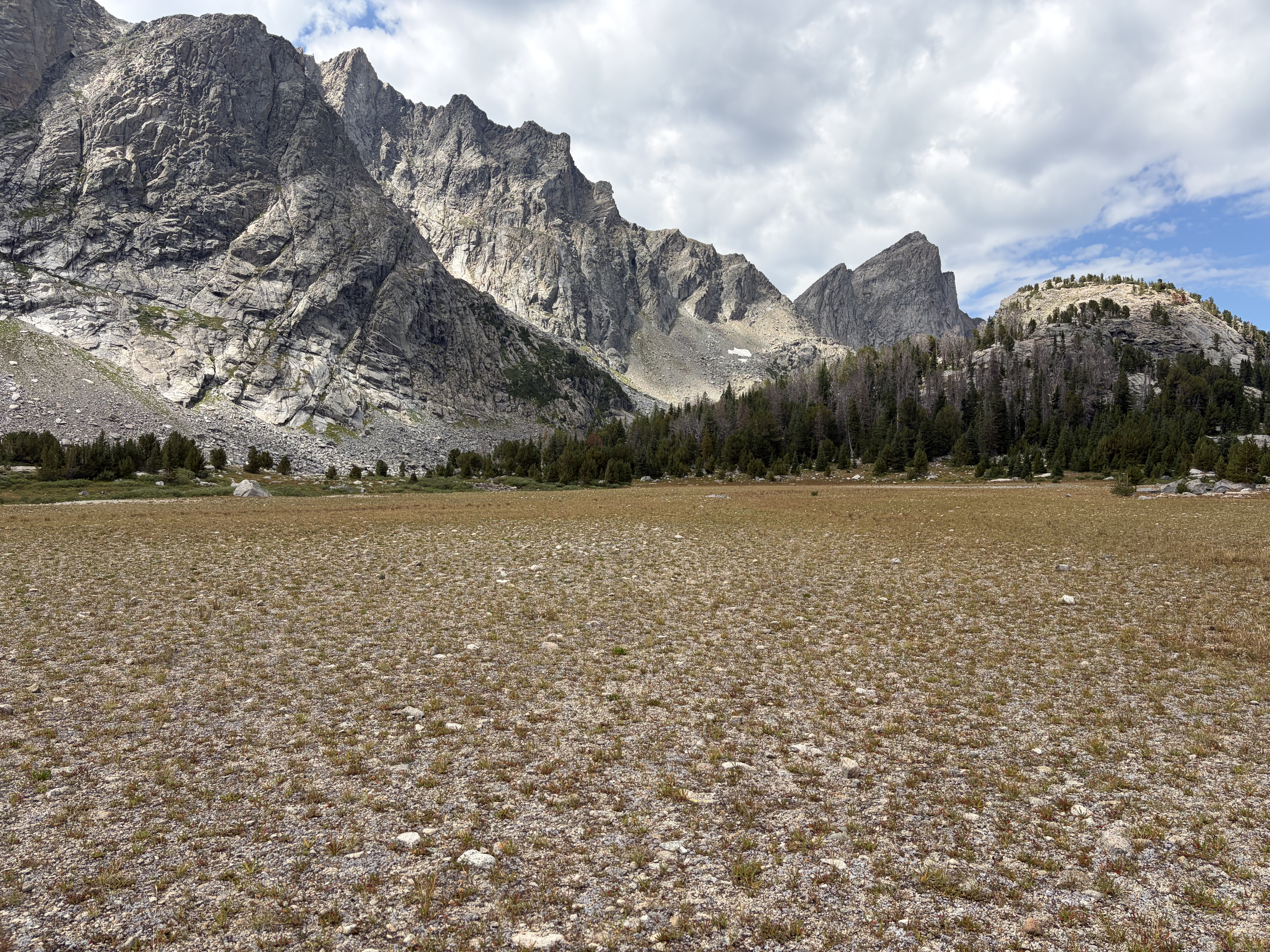
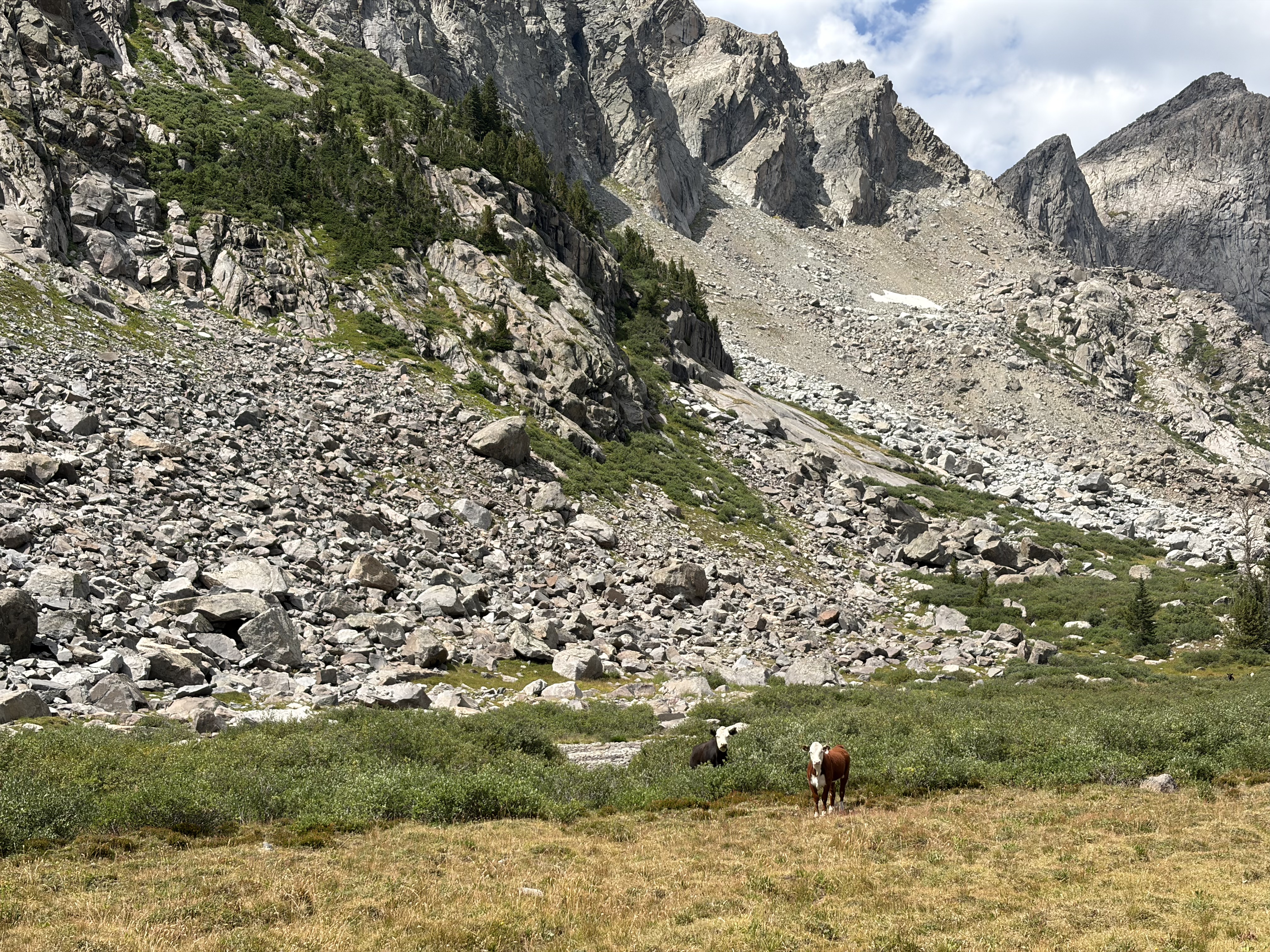
After relaxing for a swim, a foot soak, and a snack, I continued on my way. The stunning environs contributed to my utter rage when I emerged over a hill to find a herd of thirty or so cows grazing next to the river, shitting on its banks, and being the filthy hooved locusts Abbey despised. When the cattlemen have already destroyed so much of the west and middle west for their beef, it is truly inconceivable to me why we should allow them to graze their livestock in a beautiful, trail-less, outwardly pristine alpine basin. On an economic level, it seems to me like the same kind of welfare parasitism and rent-seeking that the overwhelmingly conservative ranchers and their lobby would otherwise oppose in another context. I could clearly write a whole screed, but I digress.


It took me some time to calm down from this, my biggest fit of red-faced, irrational anger in recent memory. Once I did, I began to appreciate the gorgeous alpine lakes I was passing. Soon, I ascended what Skurka rightfully calls a “sublime ramp” leading to an easy scramble which deposited me at one end of the lateral moraine below Raid Peak Pass.


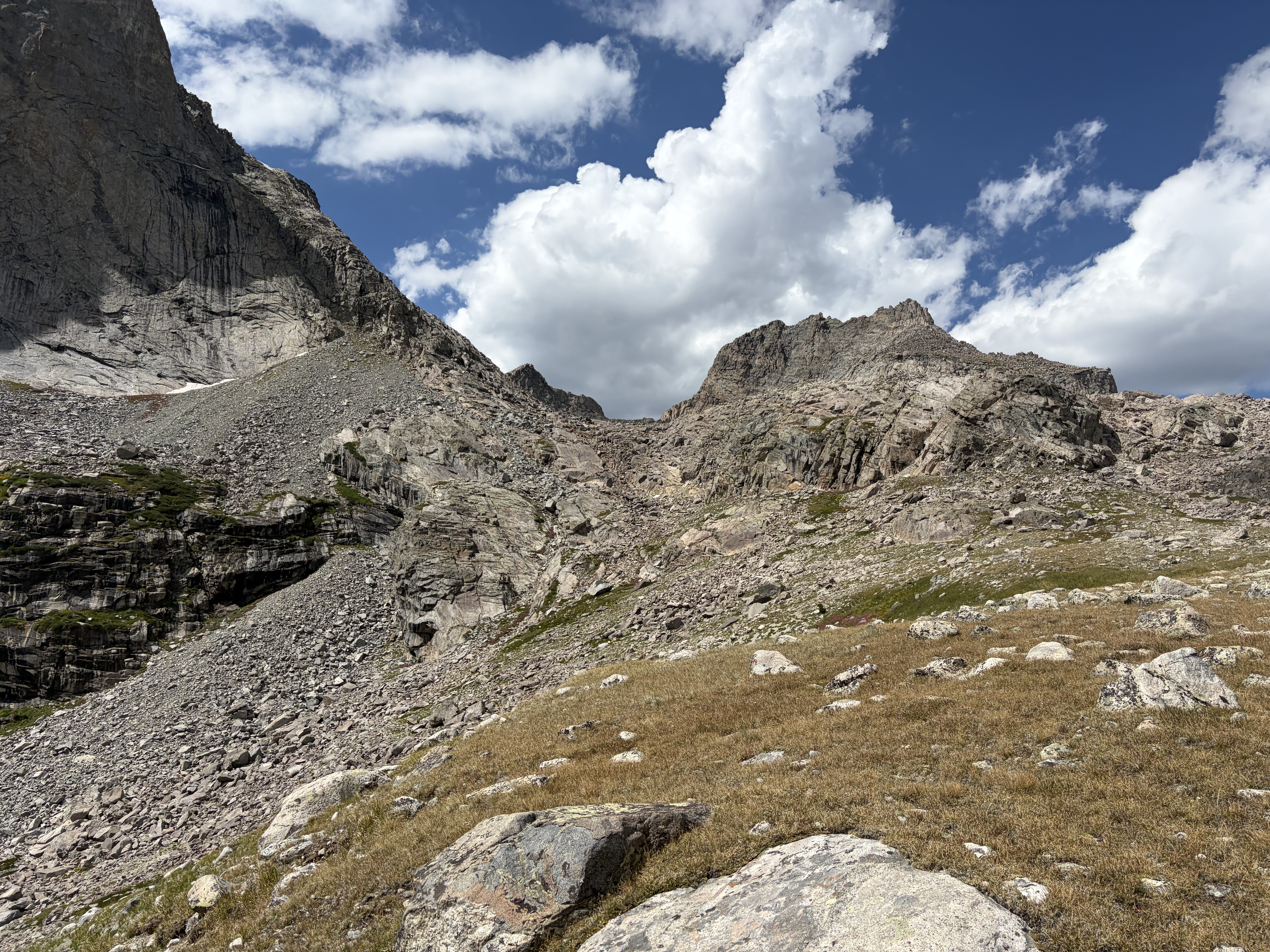
In the midst of my rock-hop to the pass, I ran into a guy going the other way who was understandably shocked to see me. He and his blue-heeler were a good hang for a few minutes in an otherwise barren wasteland of granite.
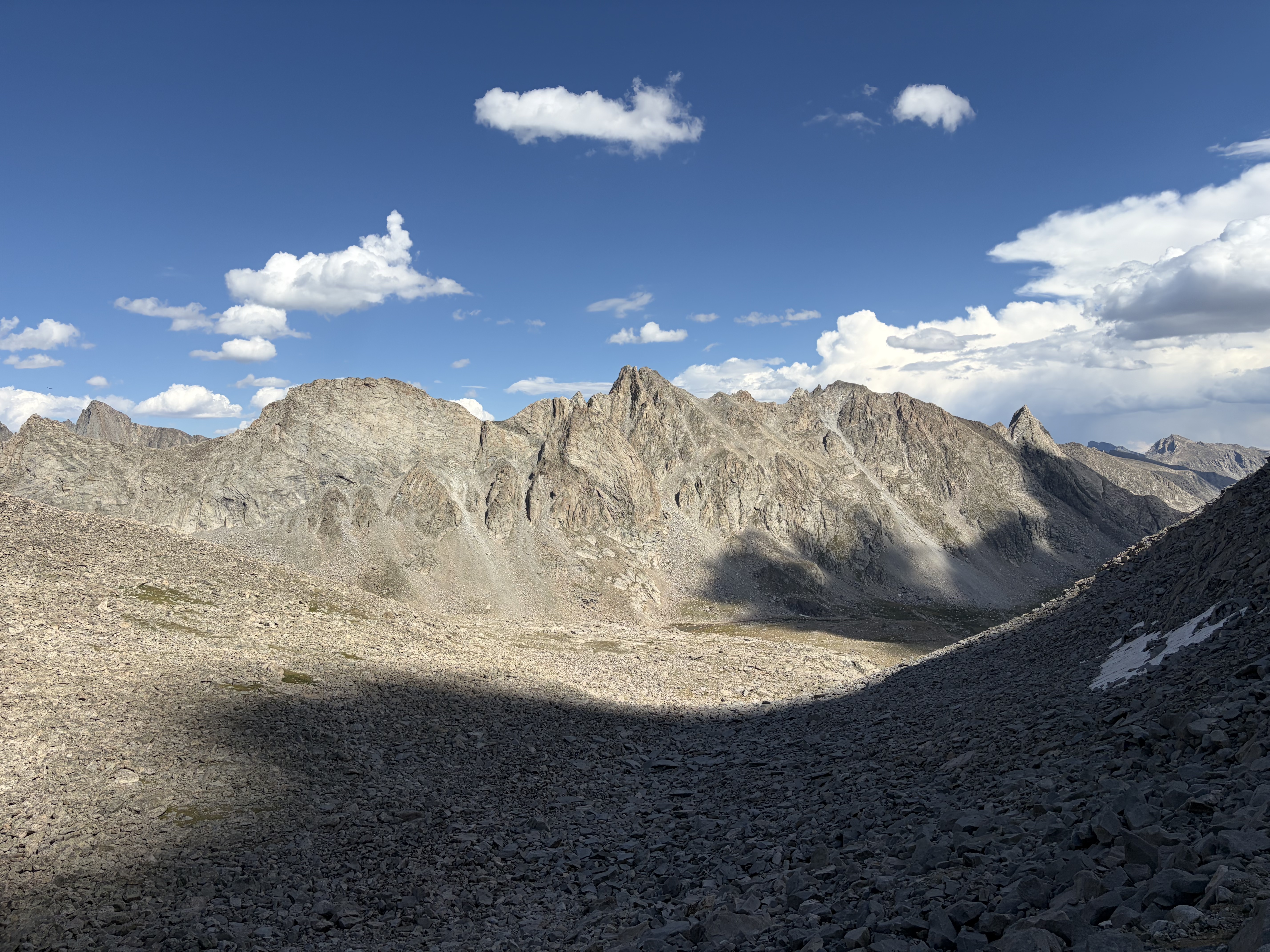
After going up and over the east-west pass, I contoured on more talus so that I could descend north on more talus and eventually on some third class slabs. I probably could have found an easier route, but I ended up descending a ten foot fourth class crack that was very fun. After that, it was an easy walk down tundra and moraine to Bonneville Lake.

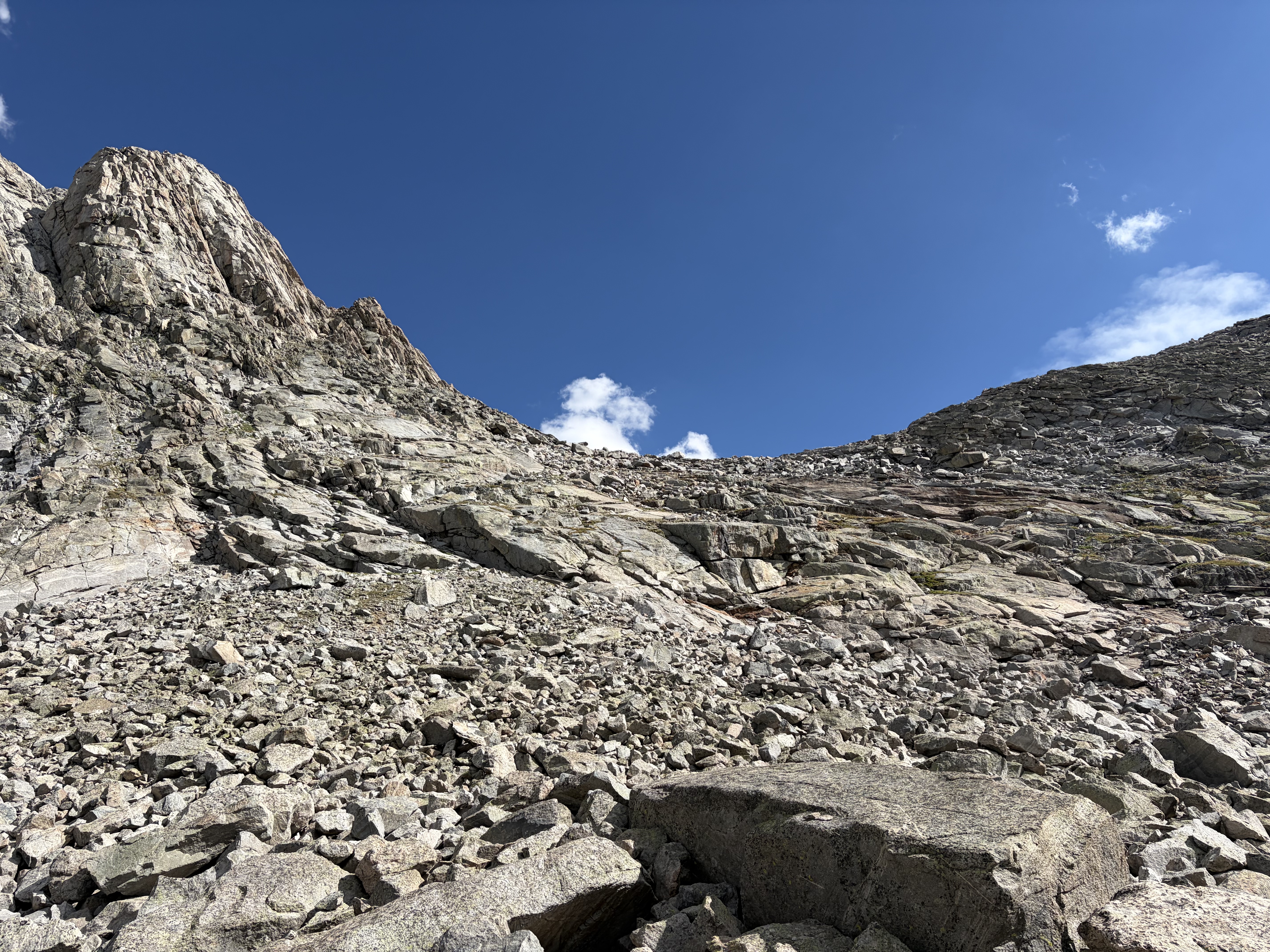
While I chatted with a guy at Bonneville Lake about the next pass (he made it seem quite brutal) and our reluctance to carry GPS messengers, I decided to keep hiking to make up for my earlier dilly-dallying. As I walked around the west side of the lake toward Sentry Peak Pass, three people heading the other way informed me of the storm clouds heading towards me from behind by asking “are you trying to get over the pass before the storm?” I considered my options and decide to push on. As it turned out, 300 calories of peanut butter M&Ms and some loud rap music were sufficient to do the super fun class two/three slab scramble to the pass in twenty minutes!

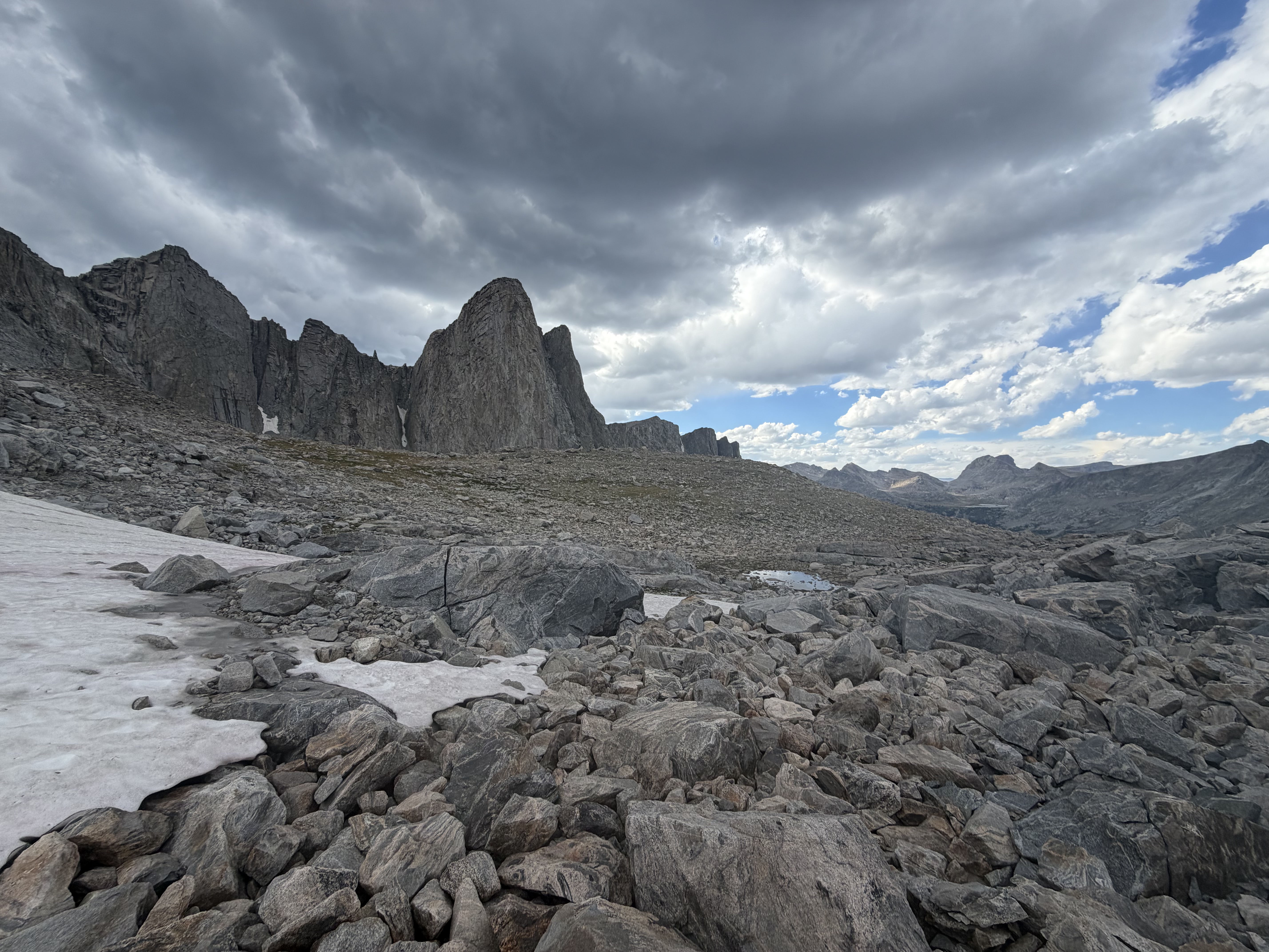
This meant I beat the clouds by a significant margin, which was fortuitous because the descent, on steep talus and featureless slabs, was trickier than the ascent. Eventually I found a 250-foot snowfield to glissade down, but the price for this rapid descent was one of the socks drying on the back of my pack. This left me with three socks, which would turn out to be a recurring problem for the remainder of the trip.


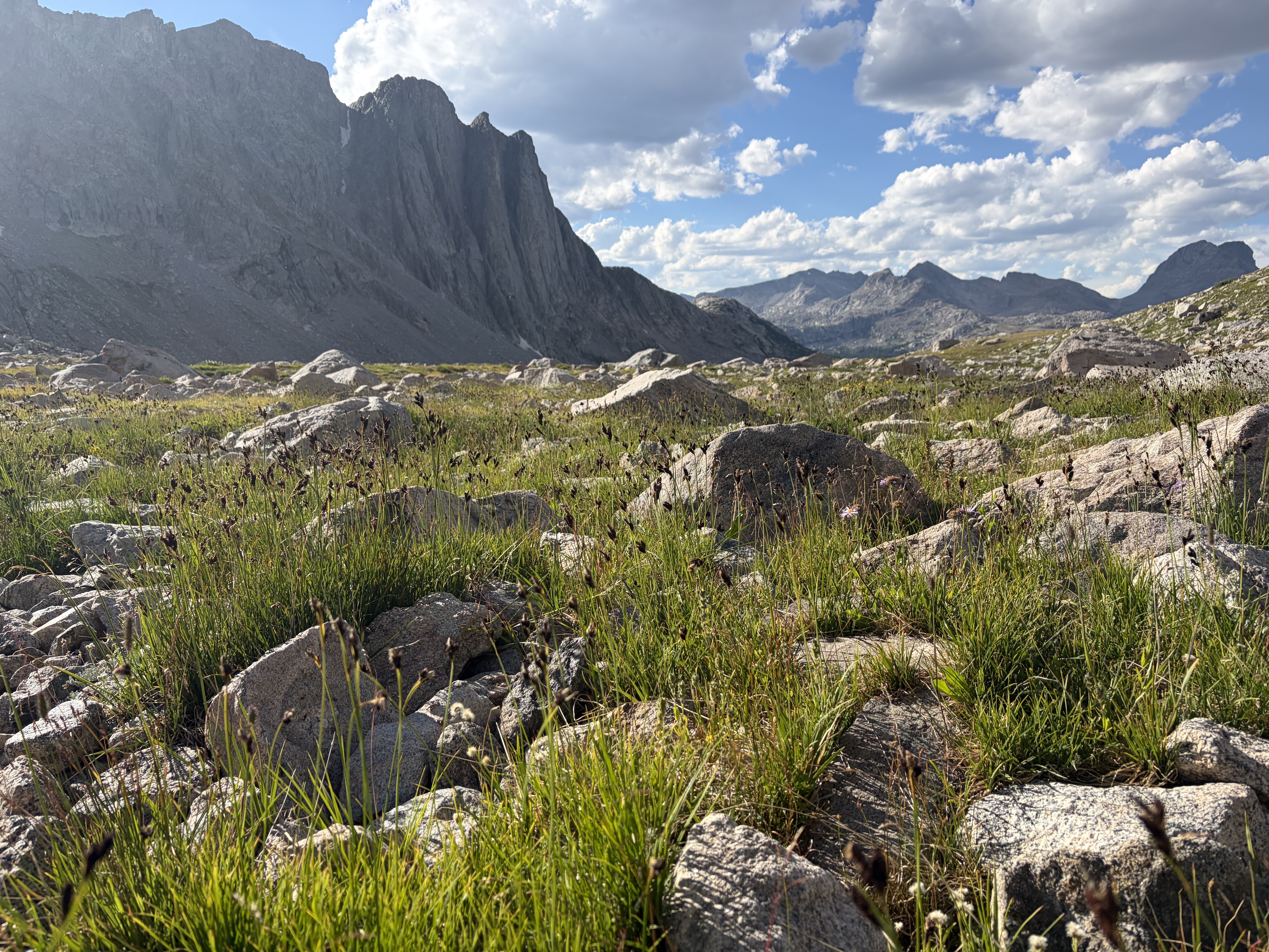
I bashed through willow for another few hundred feet of descent before finally making camp in some krummholz set a hundred feet northeast of Middle Fork Lake.


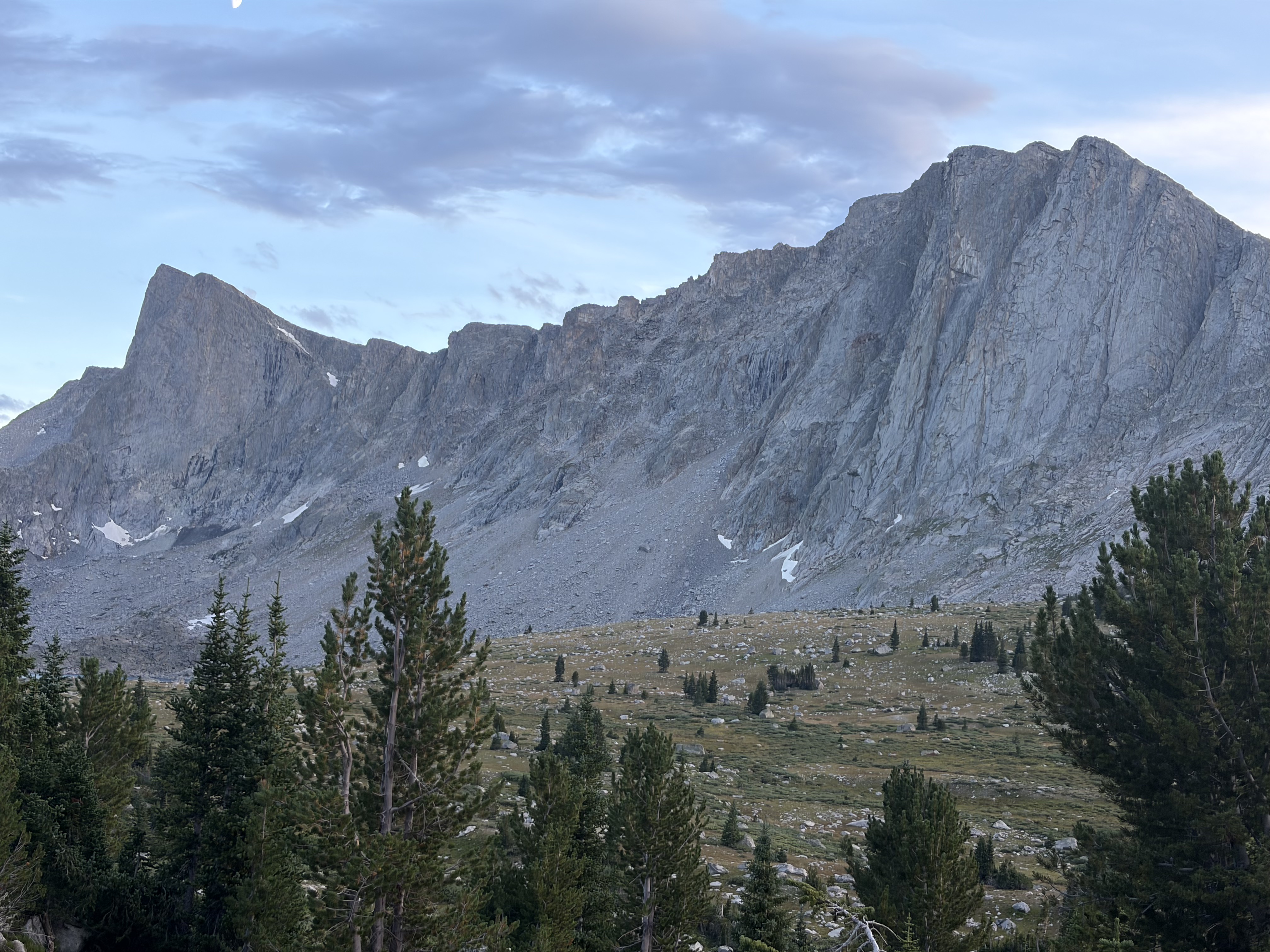
I realized here that I didn’t top-off my battery bank before the trip, so my remaining phone and watch batteries would have to last for the rest of the trip. Thus I made an effort to memorize the next section of the guidebook and map in order to avoid using my phone for navigation. Incidentally, this ended up being a more enjoyable way to navigate.
Day 4
I had some sort of panic attack/nausea at around 1 a.m., but despite this I felt okay when I awoke at six, so I packed up as usual and headed towards the hanging valley which houses the aptly named Photo Pass.
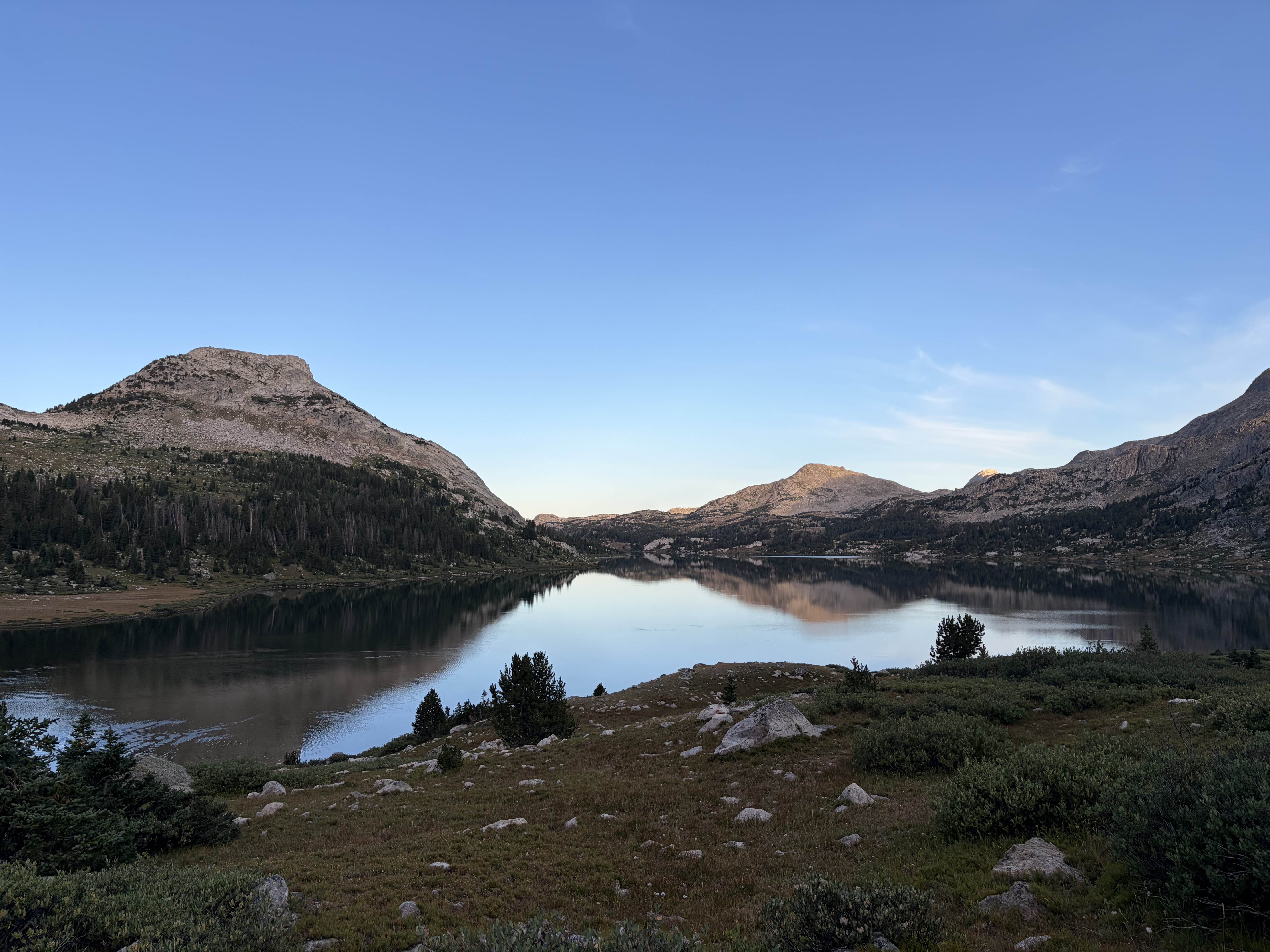
I ate breakfast at the pass, where I was able to soak in the view south, one of the best of the trip.


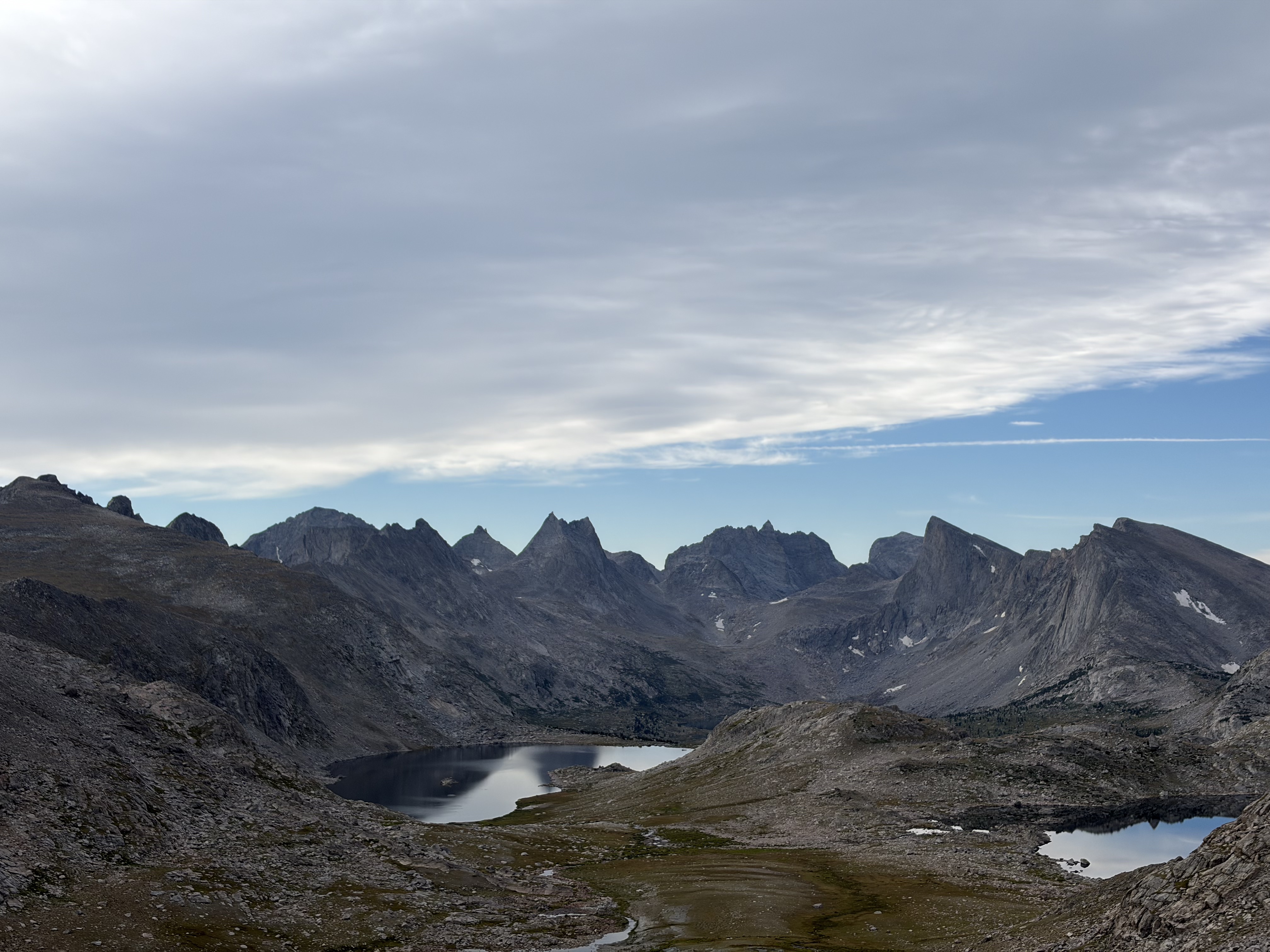
Both sides of the pass were gradual, with a faint use trail on both sides. As I descended north onto the Wind River Indian Reservation and the headwaters of the South Fork of Bull Lake Creek, I noticed elk sign everywhere. Since it was still early in the morning, I was hopeful to see a herd as I marched across mushy tundra northwest through one of the most remote areas in the Winds. After fording the South Fork, I tried to follow a mess of elk trails west through dense forest towards the Continental Divide. I heard bull elks bugling for my whole walk in the woods, so I was ecstatic when I spotted two cows (female elk) in a clearing.
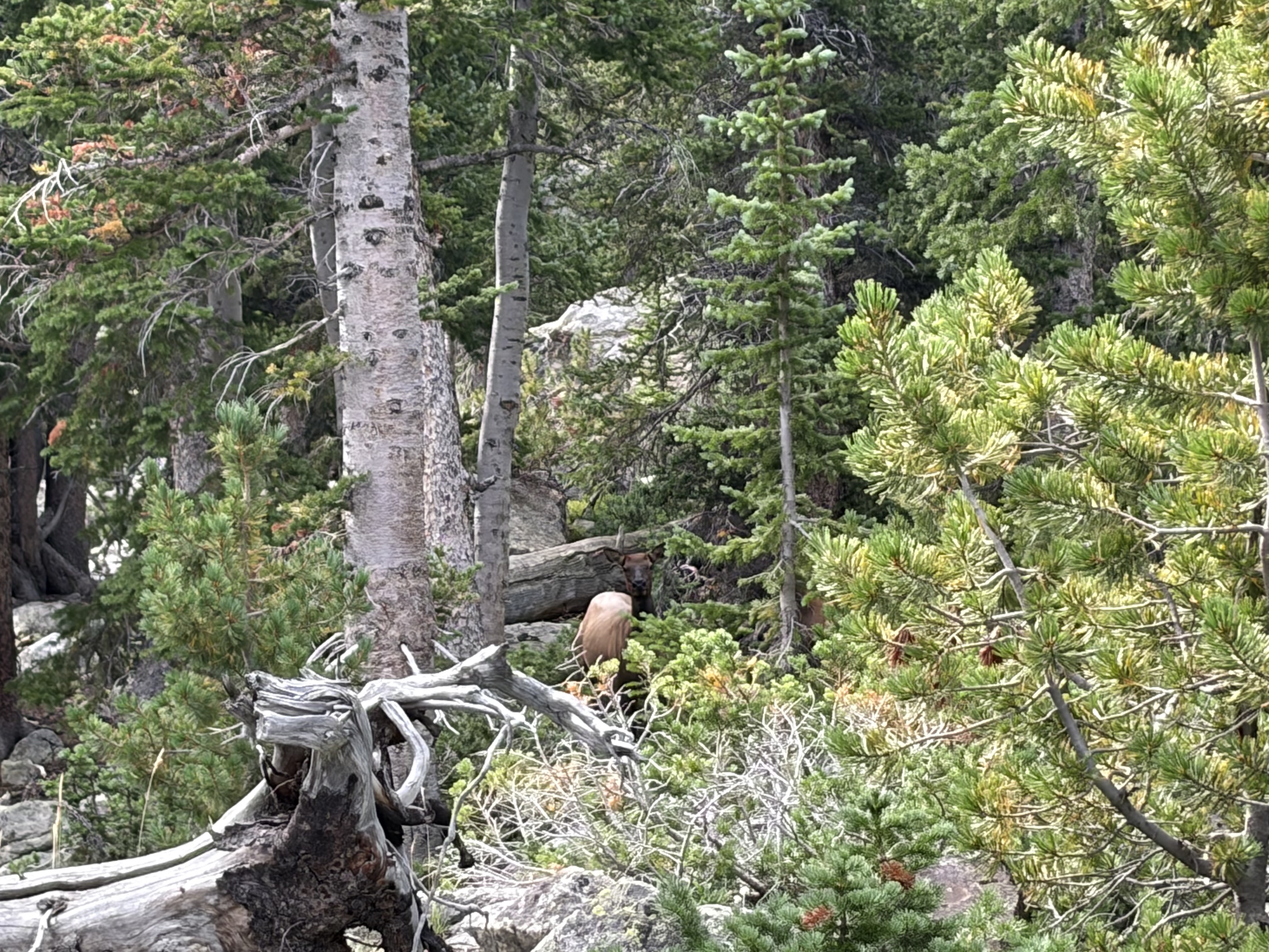
Soon after I spooked that pair, a herd of fifteen elk ran towards me from the south until they caught my scent less than one hundred feet away, upon which they ran just as fast the way they came. The forest thickened here, and while I kept hearing bugling and caught glimpses of a few more elk, I was pretty pleased with my wildlife encounter. Once I was fully sick of thrashing through the brush and fallen trees, I was back in the alpine, not to return for another six or seven hours.


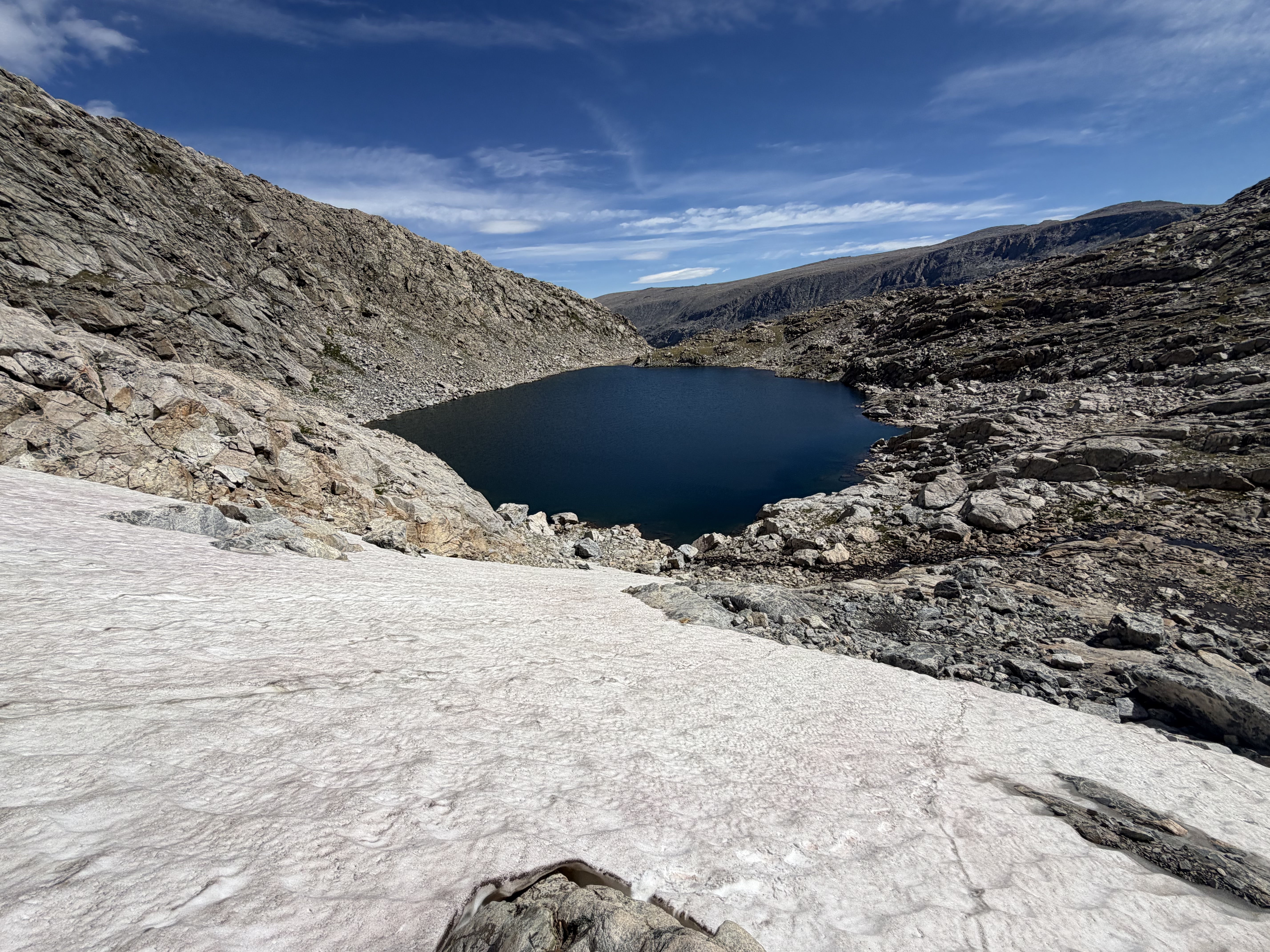
I walked up tundra, snow, talus, and broken slabs to reach the broad Continental Divide. My sights were set on Europe Peak (12,259 feet), the leftmost point in the third picture below.


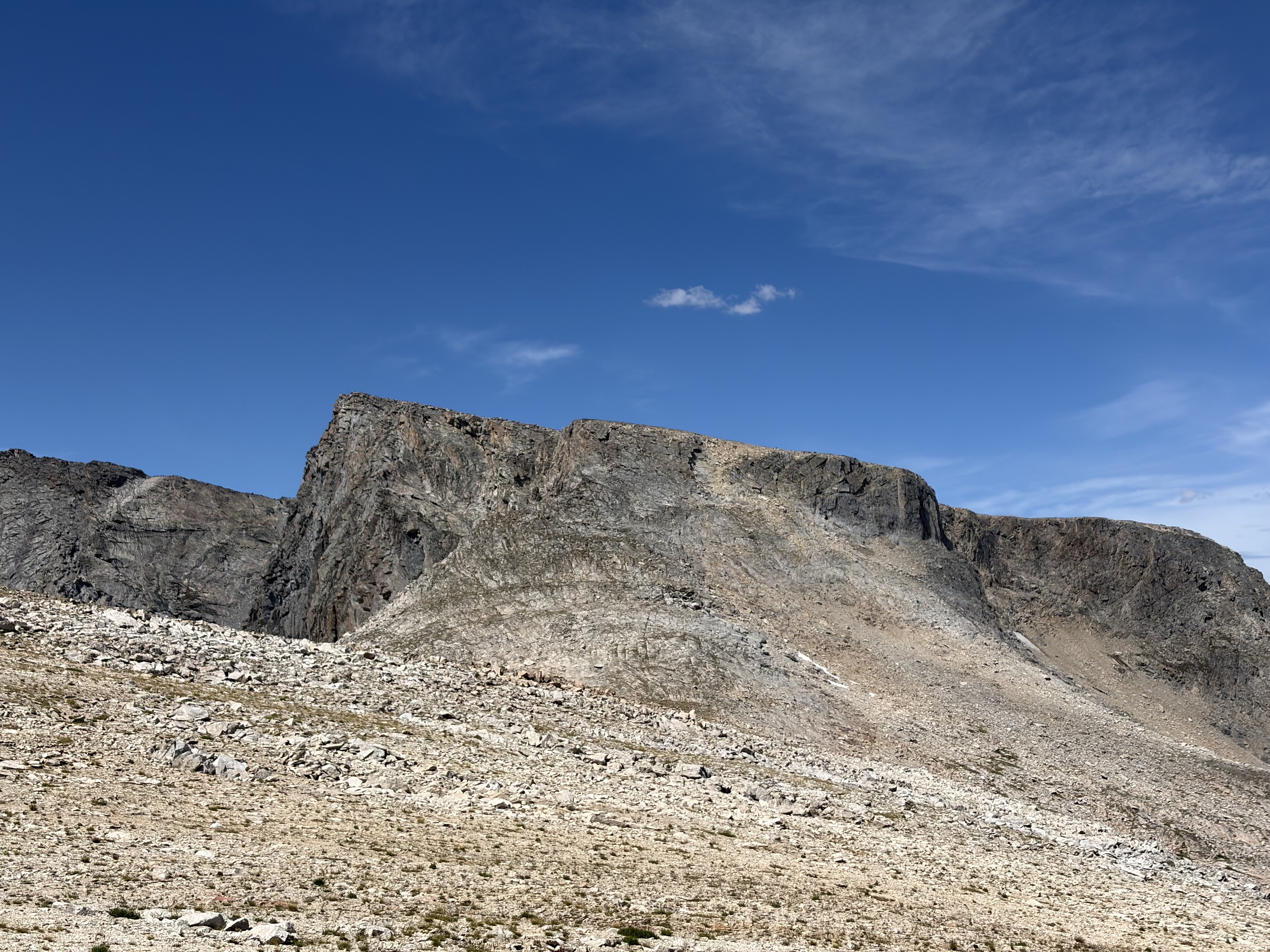
The walk over grassy moraine to the base of the peak was straightforward, and the scramble up broken class two slabs was fun, with the crux of the scramble a fifteen foot class three corner up to a meter-wide “knife’s edge,” as the guidebook calls it.

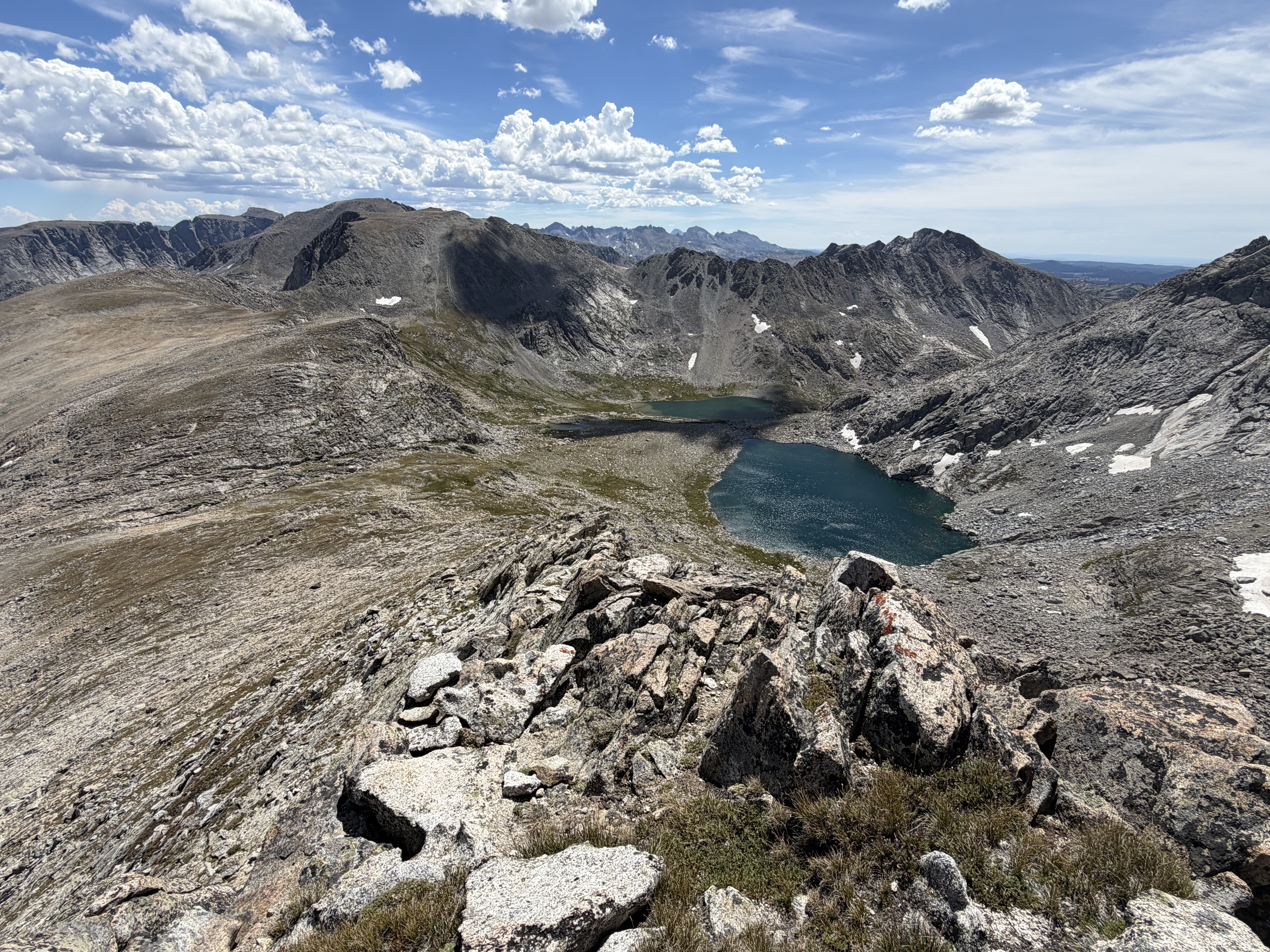
From there, it was a short rock hop to the summit, which afforded views of Wind River Peak to the south and Gannett Peak, Fremont Peak, and the next fifteen miles of my route to the north.


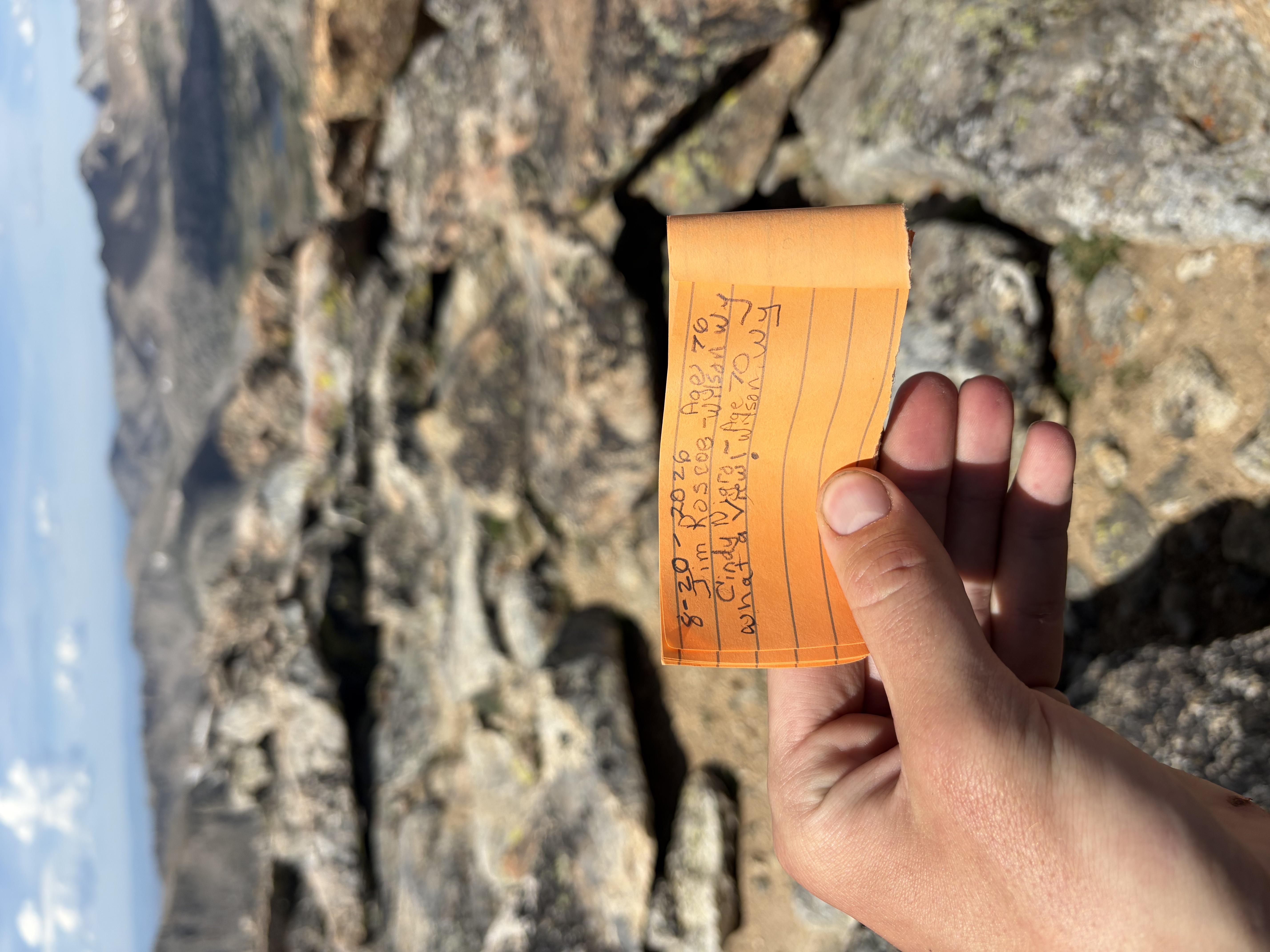
I wandered north on the broad divide for another three or four miles before descending alongside the headwaters of the Middle Fork of Bull Lake Creek to the edenic Golden Lakes.
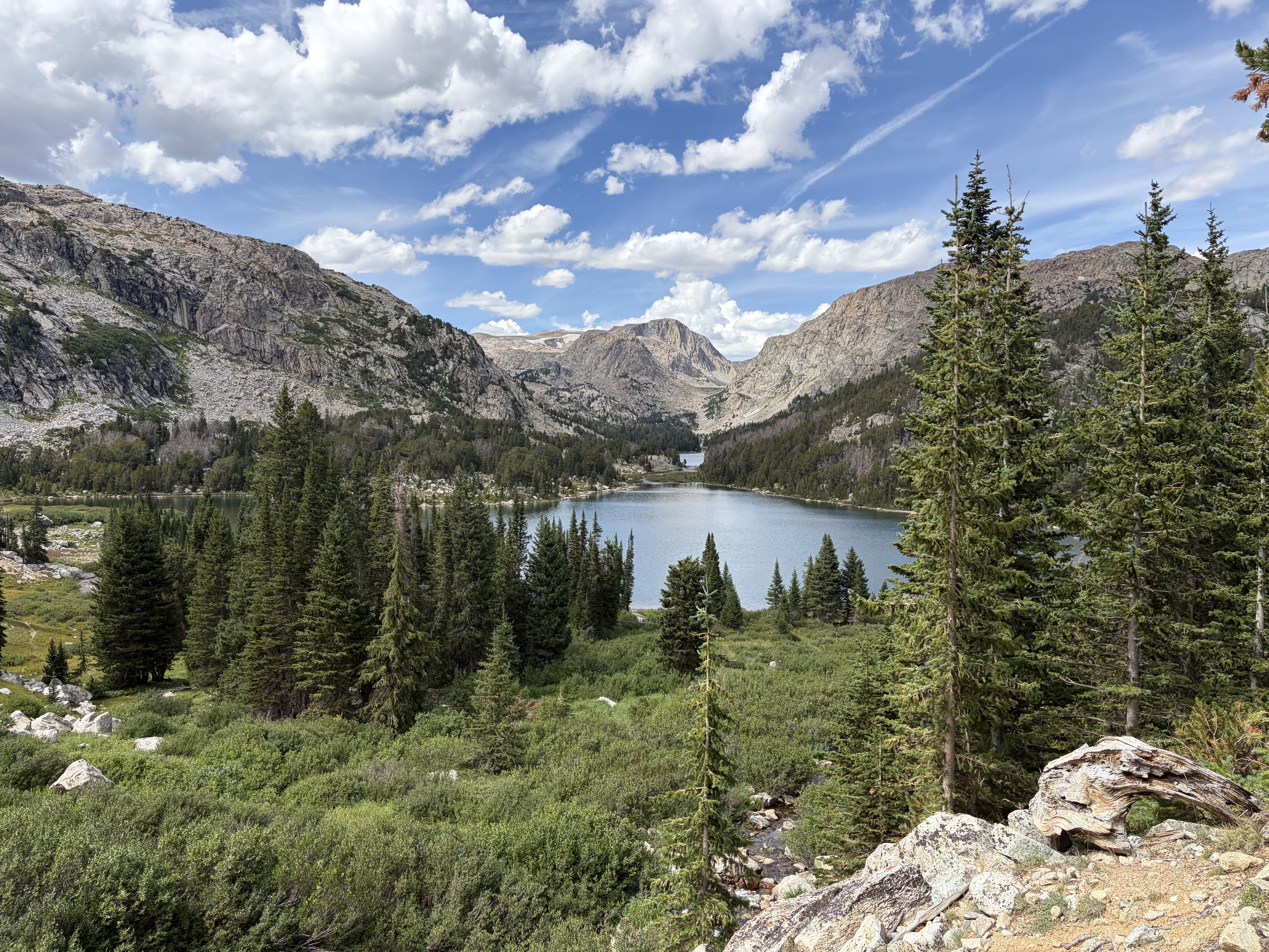
Despite nearly fifty miles left on my route, this was the last well-protected place to camp until the final six miles of the route! I dried out my stuff from the previous night’s wet cowboy camp and had a funny conversation with an Aussie doing an easier variation of the high route. He had spent the whole day doing my next section, prompting me to rethink my plan to do it through the evening. I pulled a weather report from Garmin and it indicated no chance of rain, so I decided to camp at the tarn at 10,800’ directly south of Douglas Peak and its unnamed col which I would use to continue north.
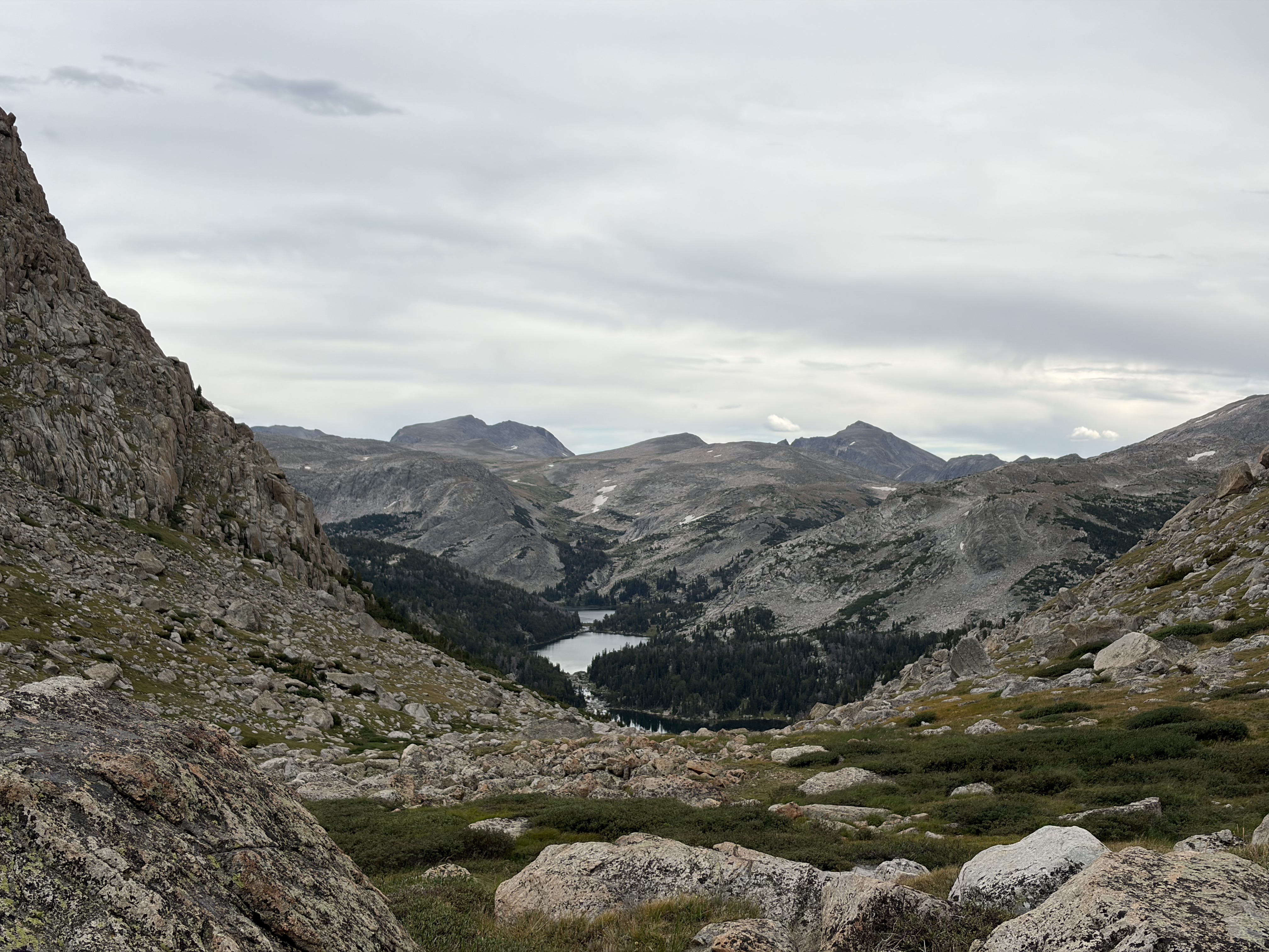
Not looking at my phone to conserve battery, I forgot about the use trail to this tarn from Upper Golden Lake, so I rock hopped, scrambled, and willow-whacked my way to the tarn. By the time I got there, the skies were dark, so I set up my tent for the first time this trip to weather the storm.

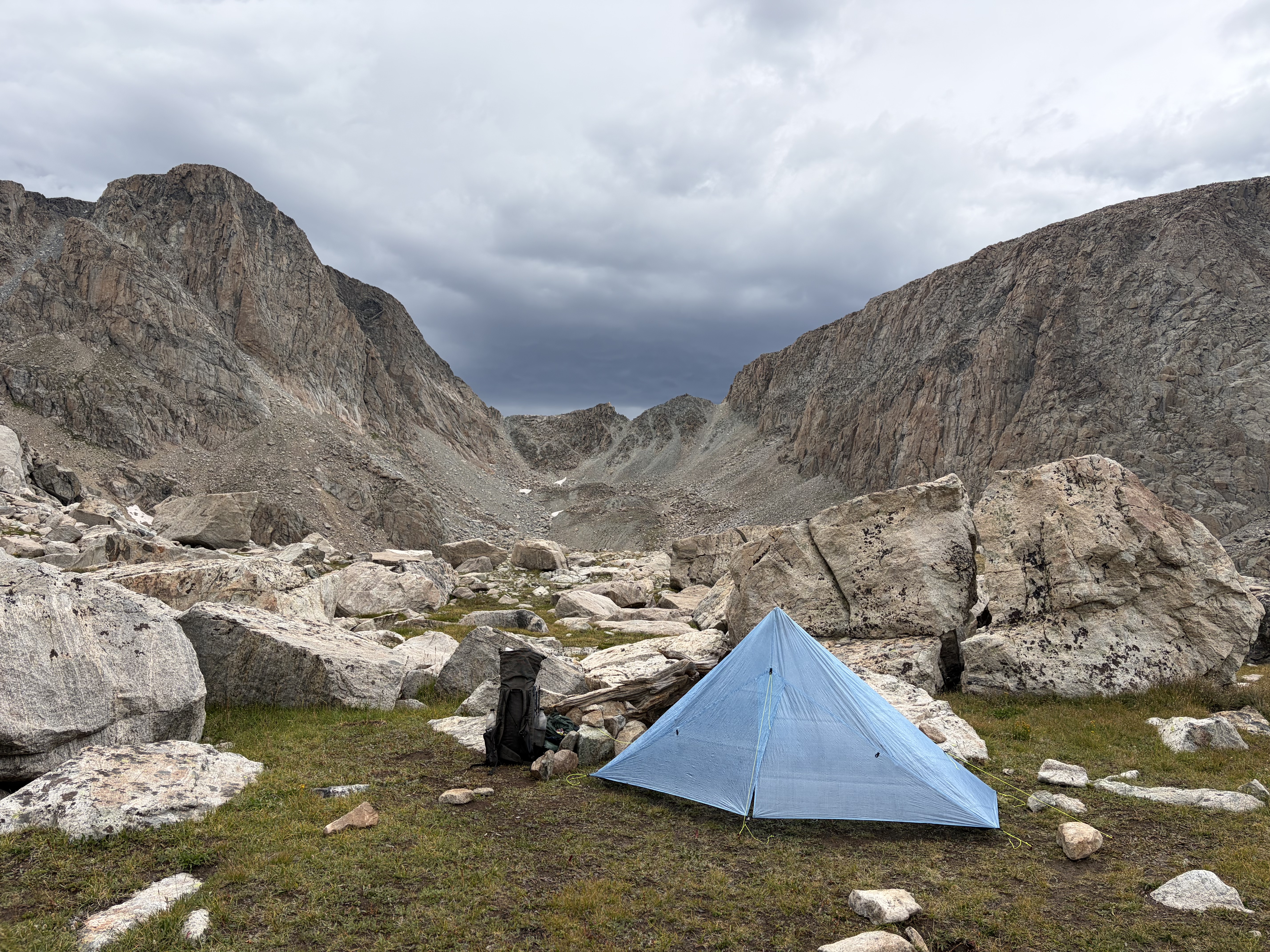
Thunder started going off on the north side of the pass, and, though it was several miles away, it was deafening. I was freaking out in my tent, since my spot would be very exposed if a bad storm rolled in. When I regained my composure, I tried to evaluate the situation as an objective observer. I decided the best course was to descend the six hundred feet back to the treeline at Upper Golden Lake. I found the trail this time, so my retreat was pretty quick.
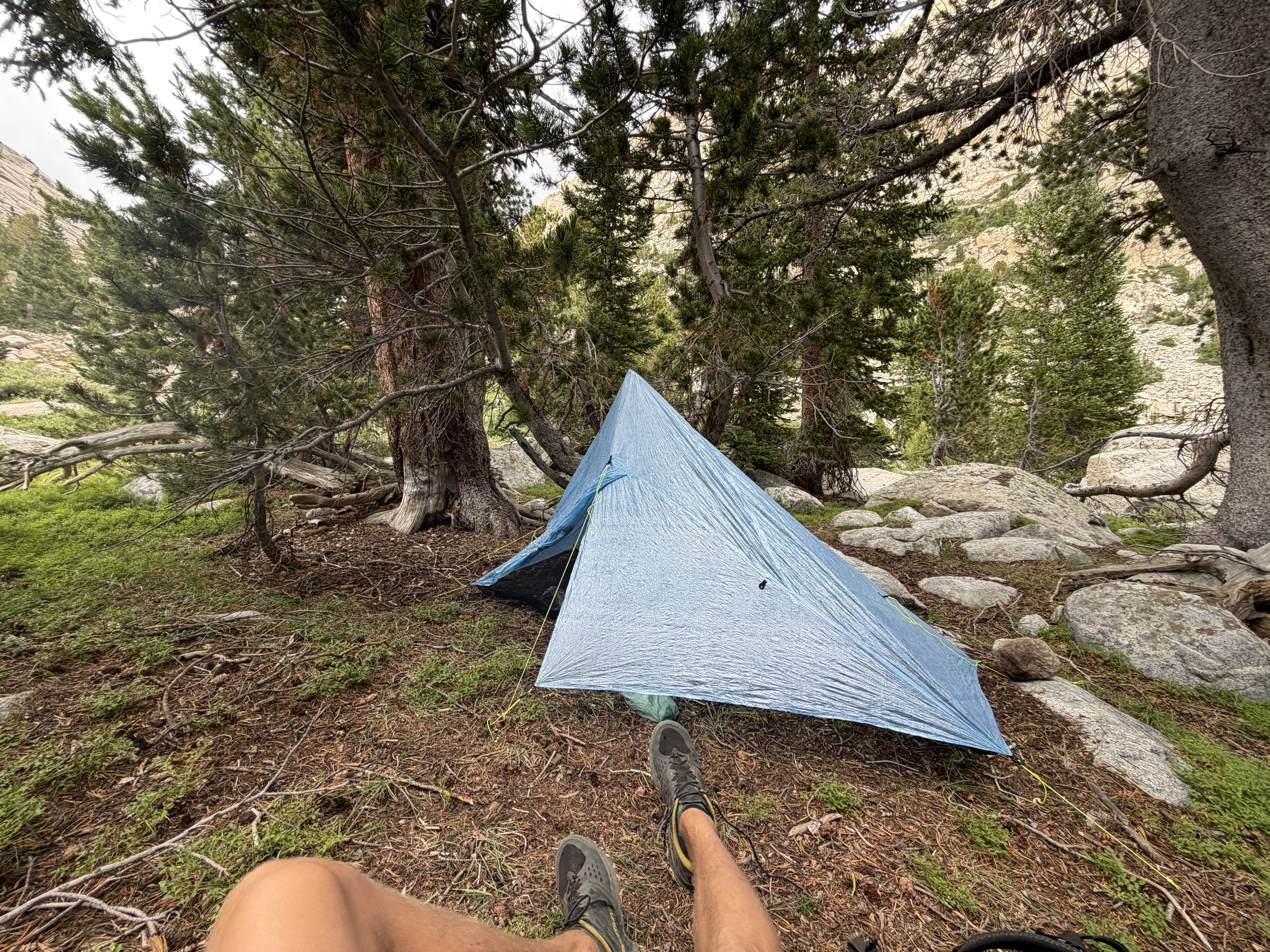
Down at the lake, it was blue skies, warm, and still. A big difference a horizontal mile and vertical tenth can make! The storm did eventually rear its head, but only for an hour or two of mild rain and scattered thunder.
Day 5
I didn’t write much in my journal for this day, but the first thing I did write seems like a good summary: “tons of ups and downs. Honestly mostly downs.” This was definitely the hardest day of the route. As it goes in this business, it was also one of the prettiest.
Hiking back up to the tarn south of Douglas Peak Pass, the skies were gray and my confidence matched it. Consulting my map, I saw that there was no easy way around this basin, which Skurka describes as “stunningly alpine;” read: super exposed. He also warns to expect slow travel, no faster than one mile per hour for the four miles it runs. Perfect terrain for inclement weather.
With no other good options, I pushed to the top of the steep pass.
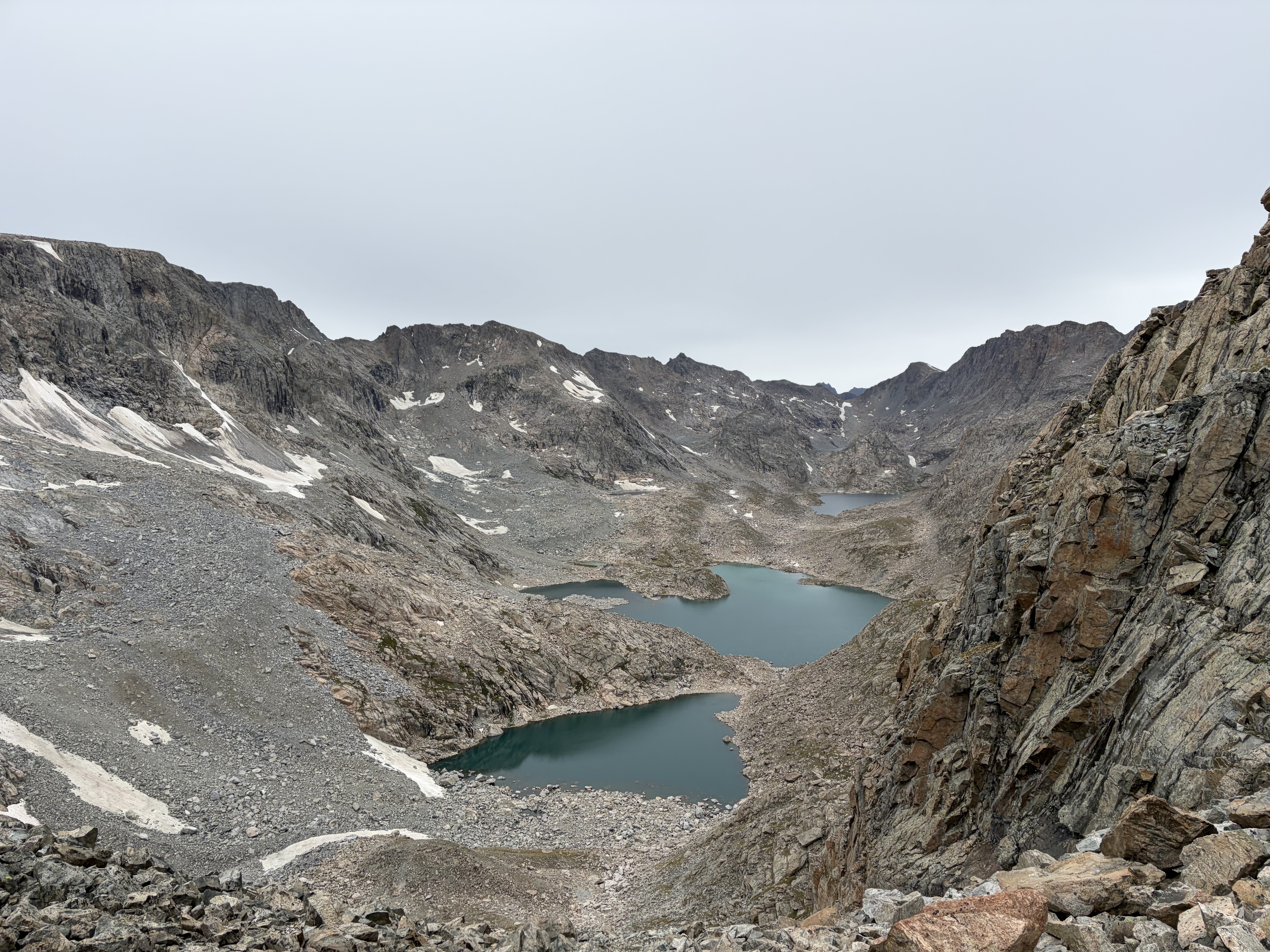
It started to rain on the descent. By the time I reached the first of three lakes I needed to contour around, it was raining hard, and since the entire basin now consisted solely of wet granite, I had to be very careful. My only note for this section is “feel hopeless.” The sun briefly poked through and the rain slackened while I passed the second lake, but it returned by the time I got to the third.

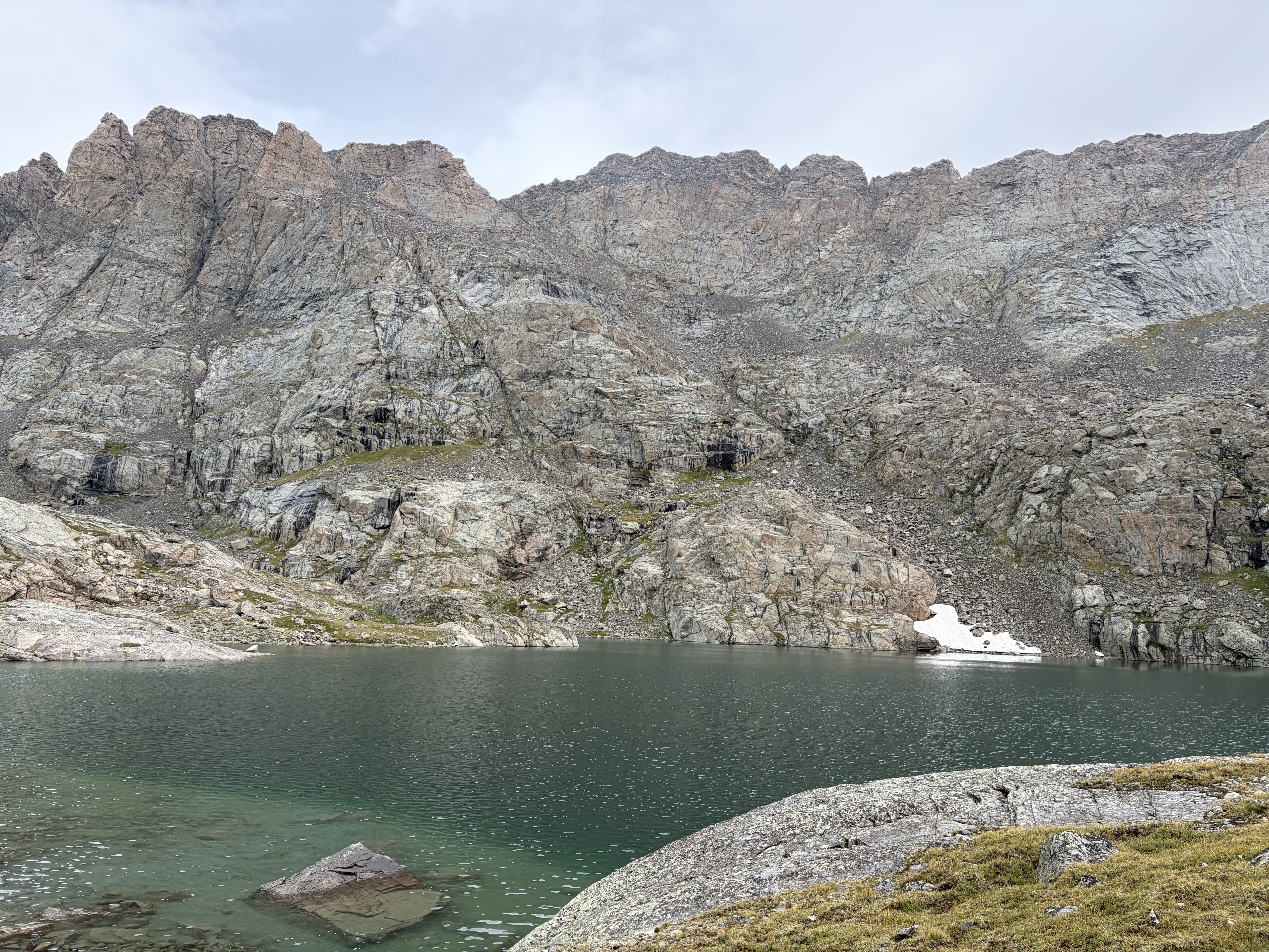
This lake is hemmed in by two smooth granite bluffs on its west bank and several on the east. Skurka indicates that there’s a way to sneak around the base of the second on the west bank, but, unable to see it from the south shore, I resigned myself to a five-hundred-foot pointless up-and-down. The only virtue of this was that I got a good look at the two remaining glaciers in this basin.


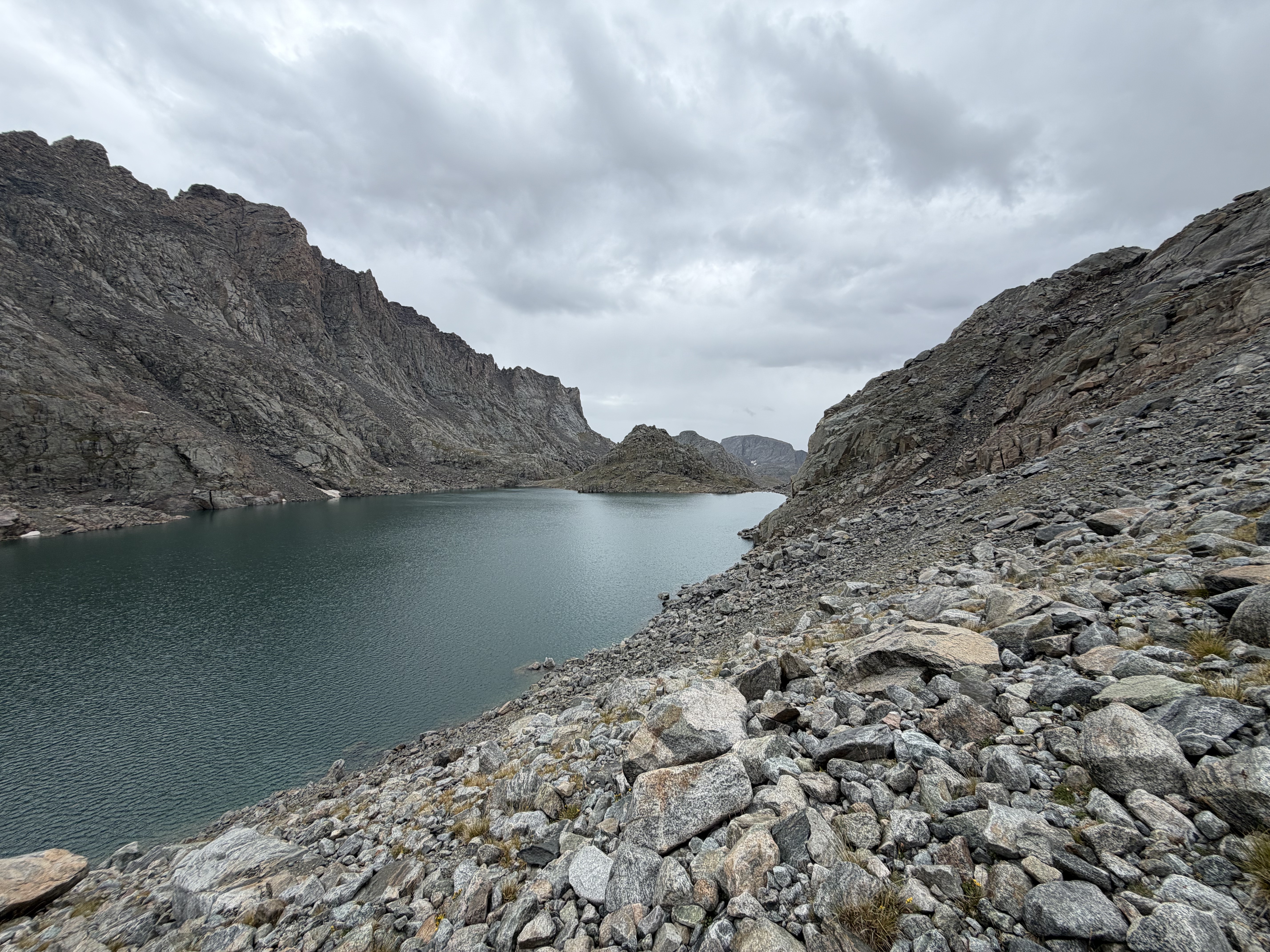
More rock-hopping takes me to the top of the pass and to the end of the most intense section of the route for me. Hiding from the wind between some boulders, I had a big cry and a big serving of Pringles while enjoying the beauty of the Knife Point Glacier and its surrounding peaks.

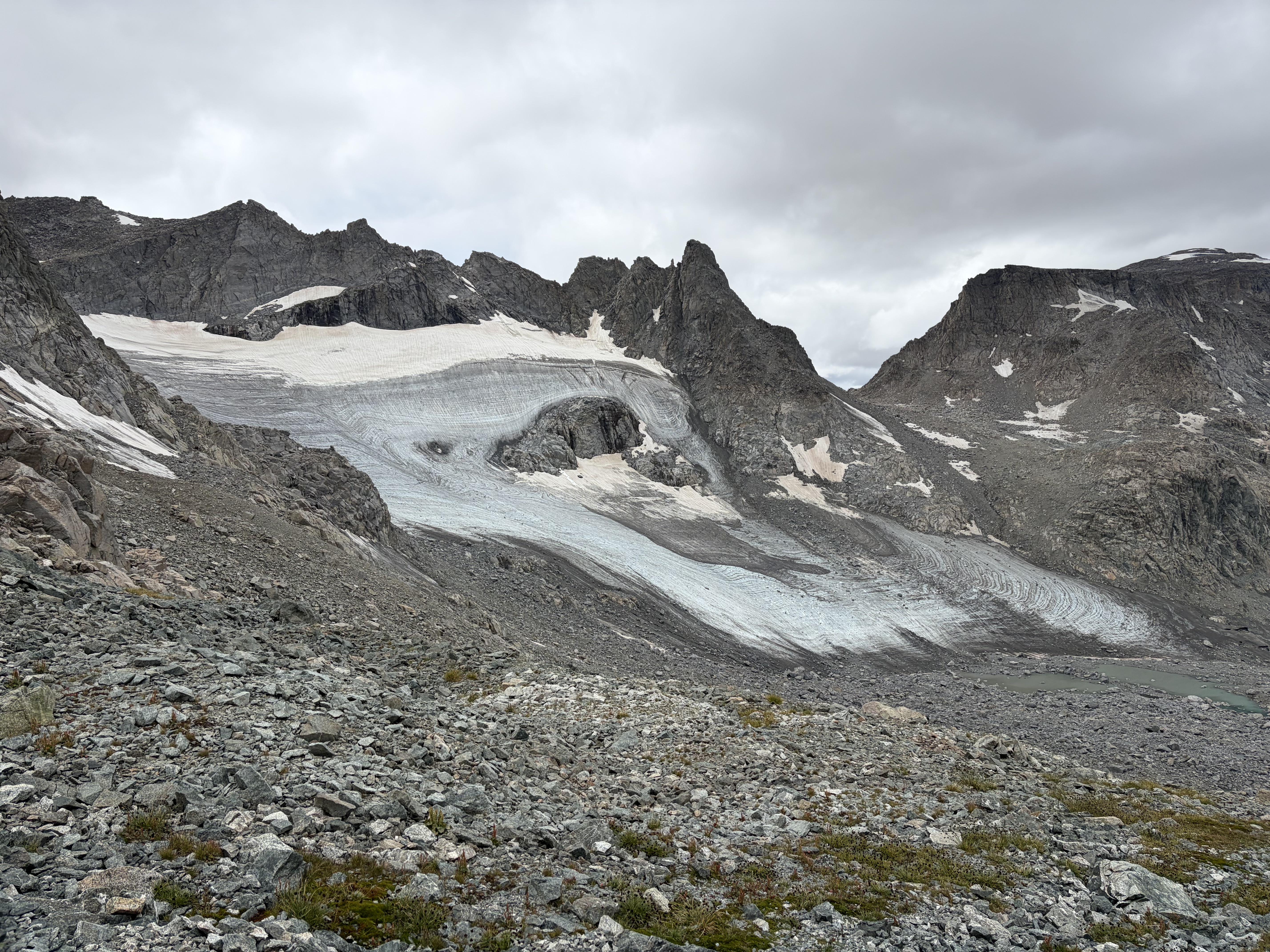
After chatting with a Chicagoan heading into the Alpine Lakes basin, I descended to the milky and beautiful southern tributary of North Fork Bull Lake Creek. After fording its frigid glacial waters, I relaxed by the shore and ate a late lunch.

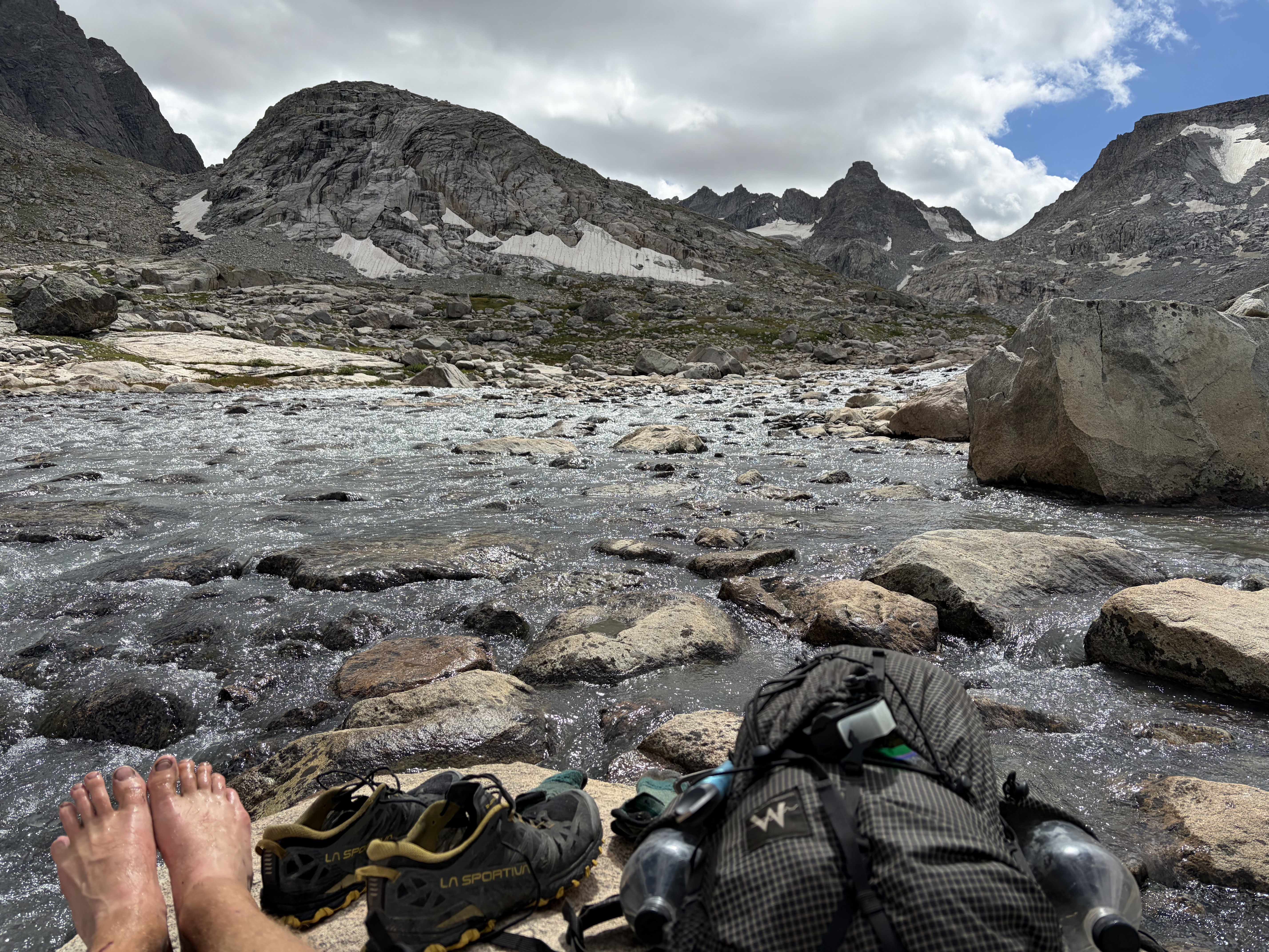
With the sun now out, I enjoyed the climb through tundra and grassy moraine to an 11,100’ notch which shortcuts to the main North Fork of Bull Lake Creek. Just as beautiful as its southern tributary, I forded the creek in a truly dumb spot and began my climb to Blaurock Pass. The climb is long and steep, covering nearly three thousand feet with an average of 1,200 vertical feet per mile. A lowercase lambda of snow points to the pass in the pictures below.


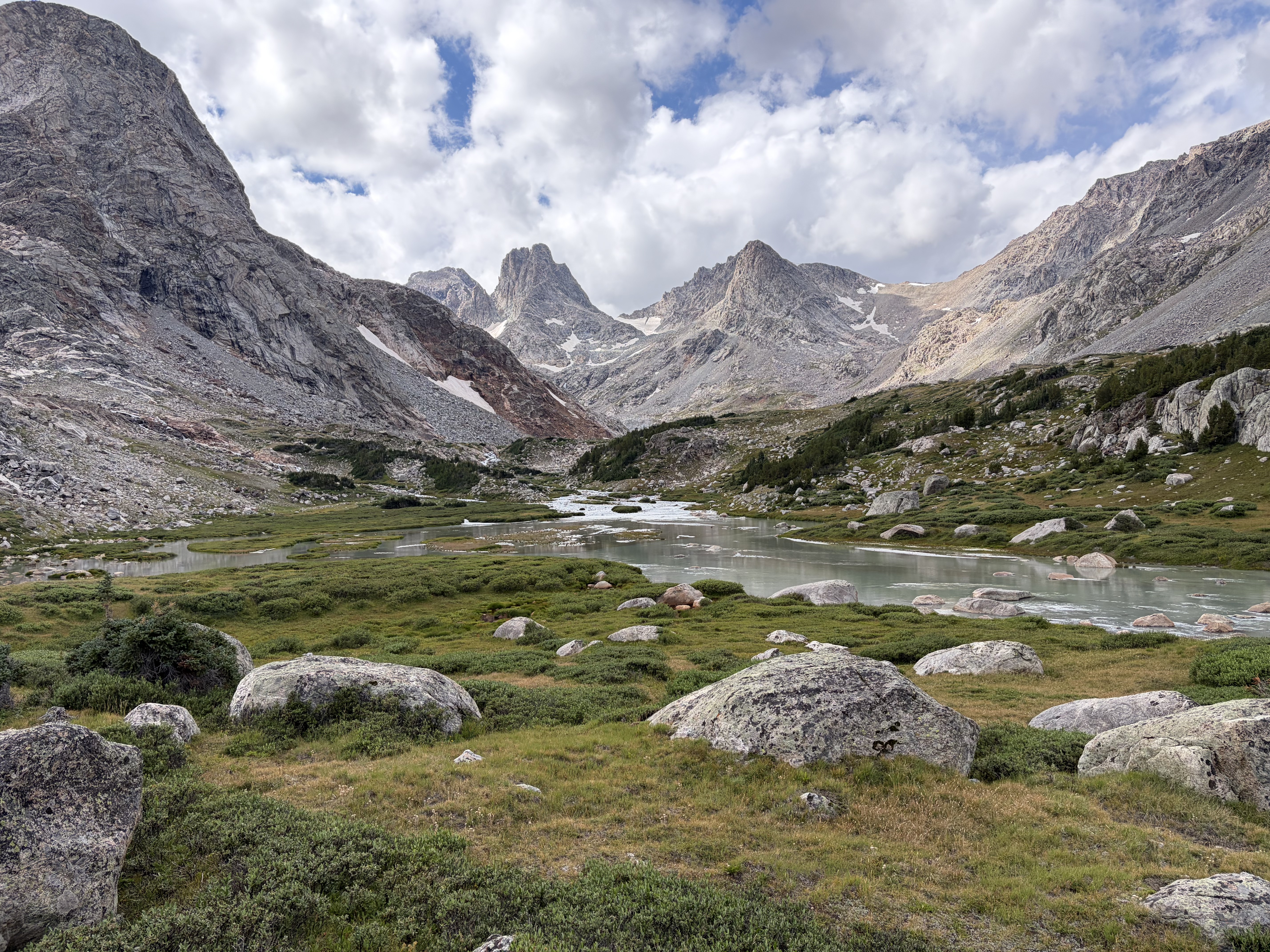
The climb was another steep grind up tundra, snow, and all the stages of post-glacial moraine: sand, gravel, small, medium, and large talus. The climb took me to my absolute limit, so I was especially demoralized to notice black clouds on the northwest side of the pass when I was two hundred feet below.


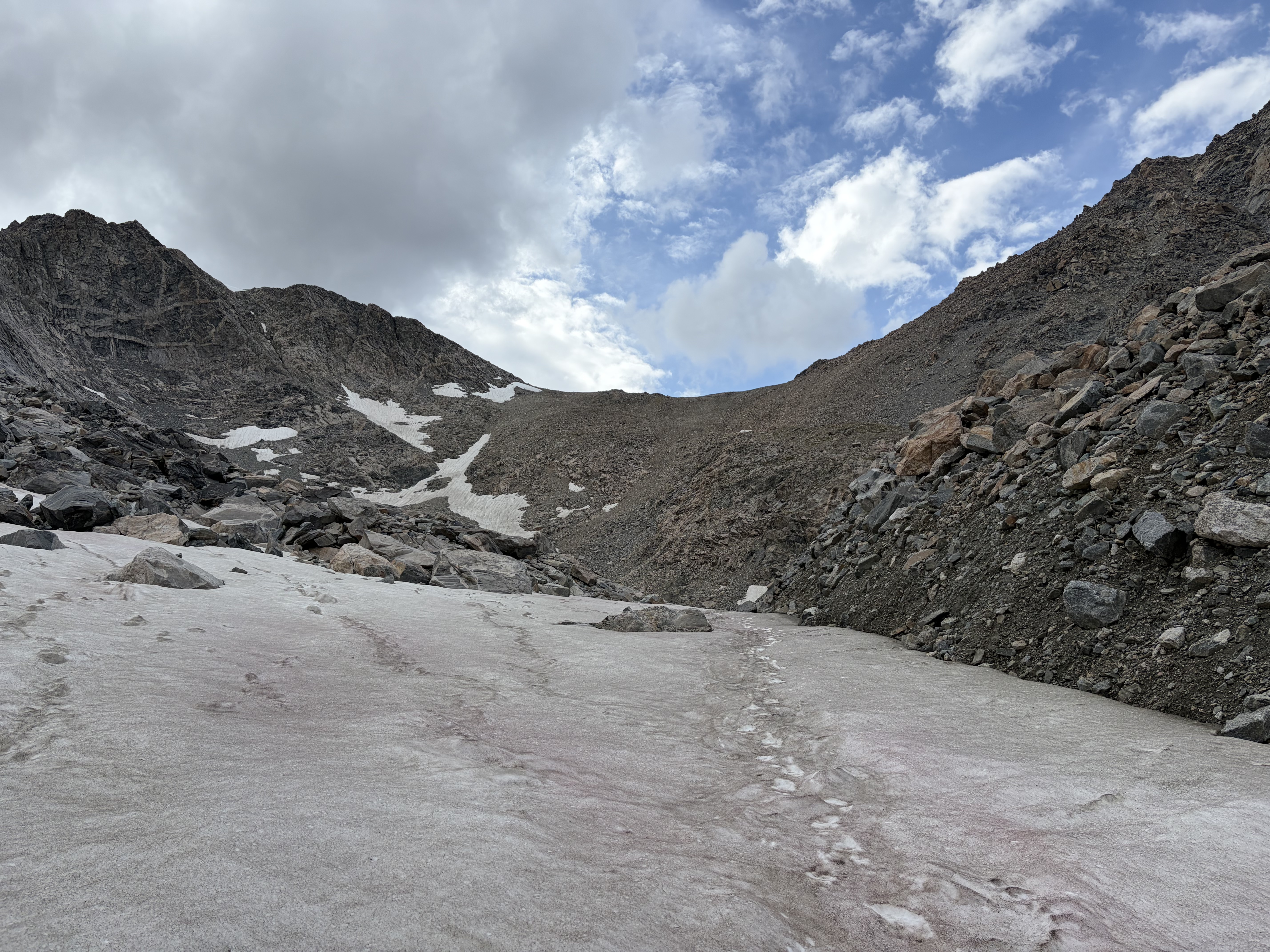
With no choice but to go over, I made it to the top where, after identifying Gannett, the high Continental Divide I was supposed to travel over tomorrow, and the vantablack clouds heading my way, I quickly hurried down.


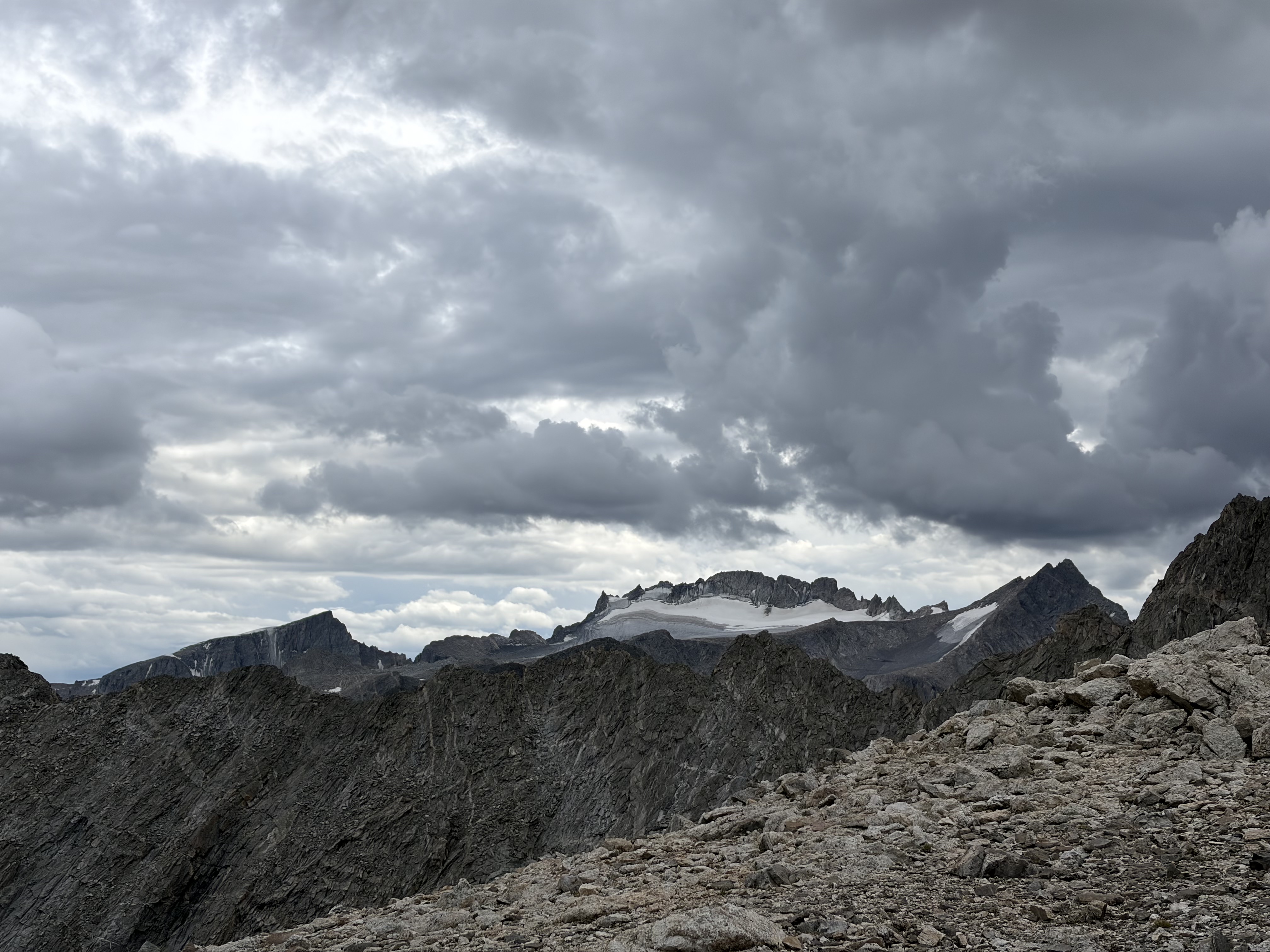
With thunder and lightning rushing toward me from two directions, I ran as fast as I safely could down the climbers trail. I found level tundra at 11,400 feet, so I pitched my tent, threw my ice axe downhill, and cowered in my tent as the craziest storm I have ever been in rolled through. Loud, big, simultaneous thunder/lightning, and huge graupel, the whole shebang.
Thirty minutes later, the rain abated and the blue skies won a skirmish with the clouds, so I decided to descend one more mile to ten thousand feet and the traditional basecamp for Gannett. The spots here aren’t protected either, but the lower elevation and a big group of NOLS instructors out for a training trip made me feel a little better.

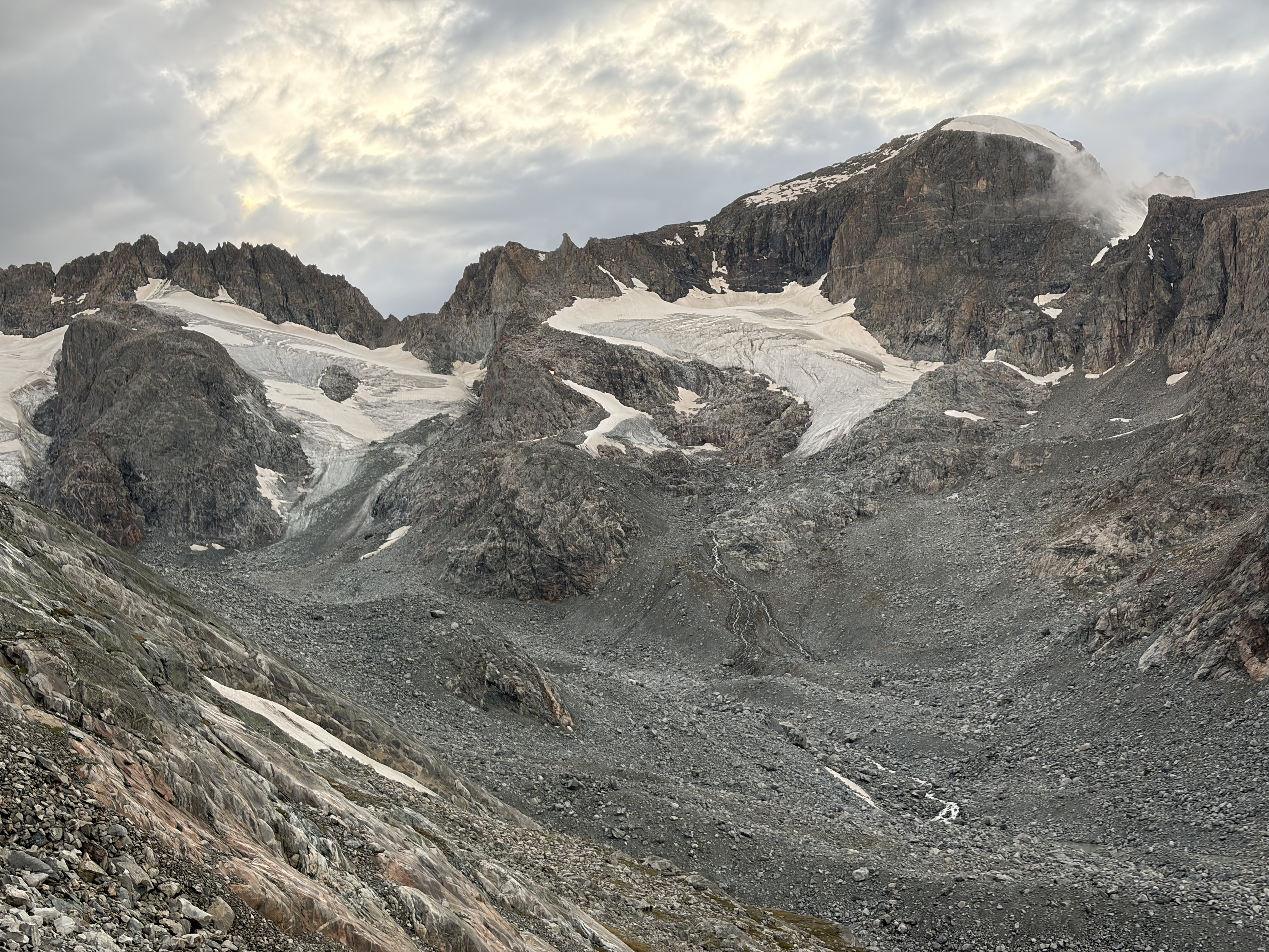
I was totally scatter-brained and erratic at camp, acting weird and unable to focus on my basic camp chores and the questions asked by the socially-deprived NOLS people. I finally got my shit together enough to feed myself (though I couldn’t find the spoon I was sitting on, so I ate my rice and beans with the non-business end of my toothbrush) and get all cozy as another BIG storm rolled in. All of this took quite some time in my state, but with my plan to wake up early to climb Gannett, I wasn’t going to get much sleep anyway.
Day 6
When I woke up to my alarm at 4:00 a.m., the wind and rain were shaking my tent while lightning cracked and thunder boomed simultaneously, so I quickly fell back asleep until a luxurious 7:30. Not a bad view from the tent. On the left are three fingers of the massive Dinwoody Glacier, and on the right is Gannett Peak’s Gooseneck Glacier, where the standard mountaineering route begins.

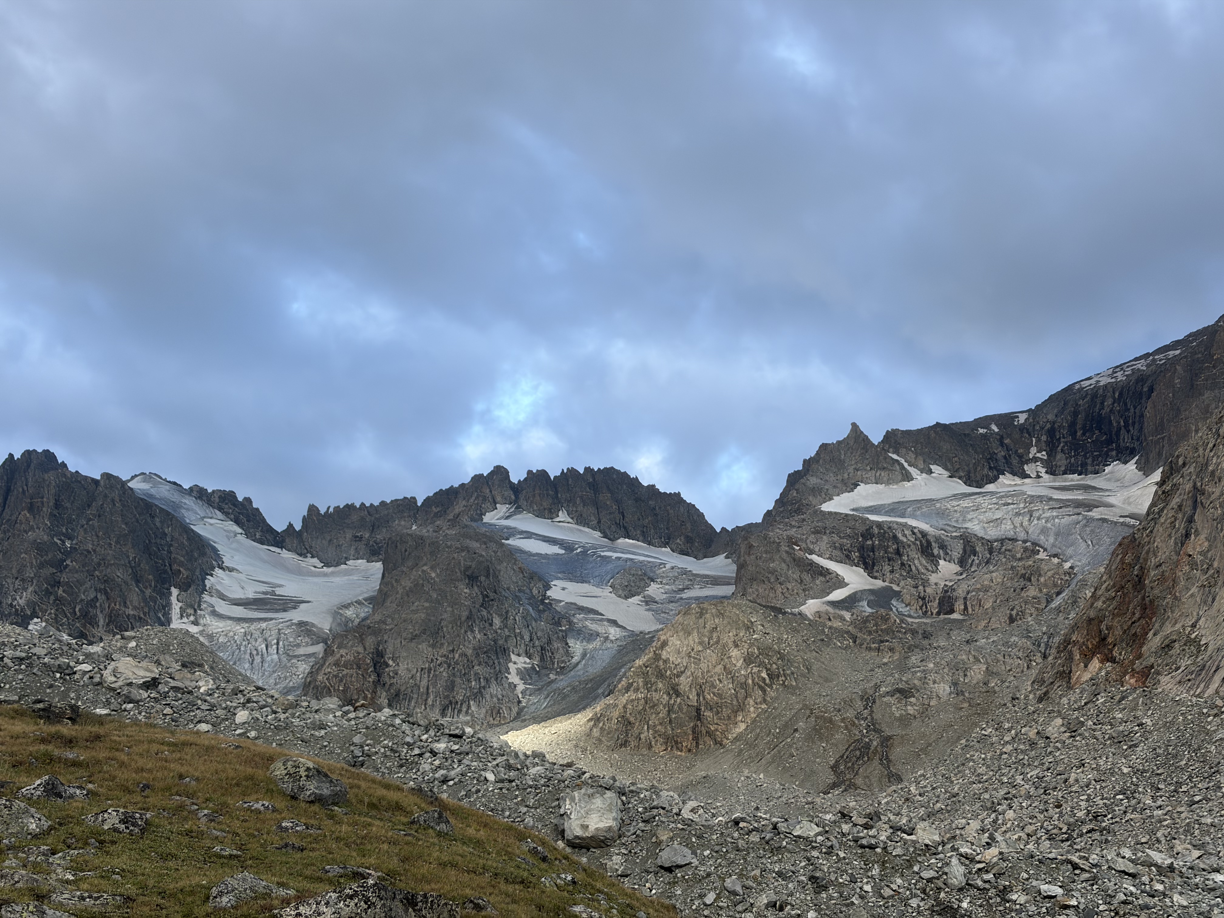
I spent a long time trying to read the sky, but with dark clouds pouring over Gannett and my route north, and feeling a bit traumatized from the night before, I made the safe decision to follow the Glacier Trail back to my car. This twenty-seven-mile route took me through much lower terrain, and, for the first several miles along Dinwoody Creek, it was absolutely stunning.


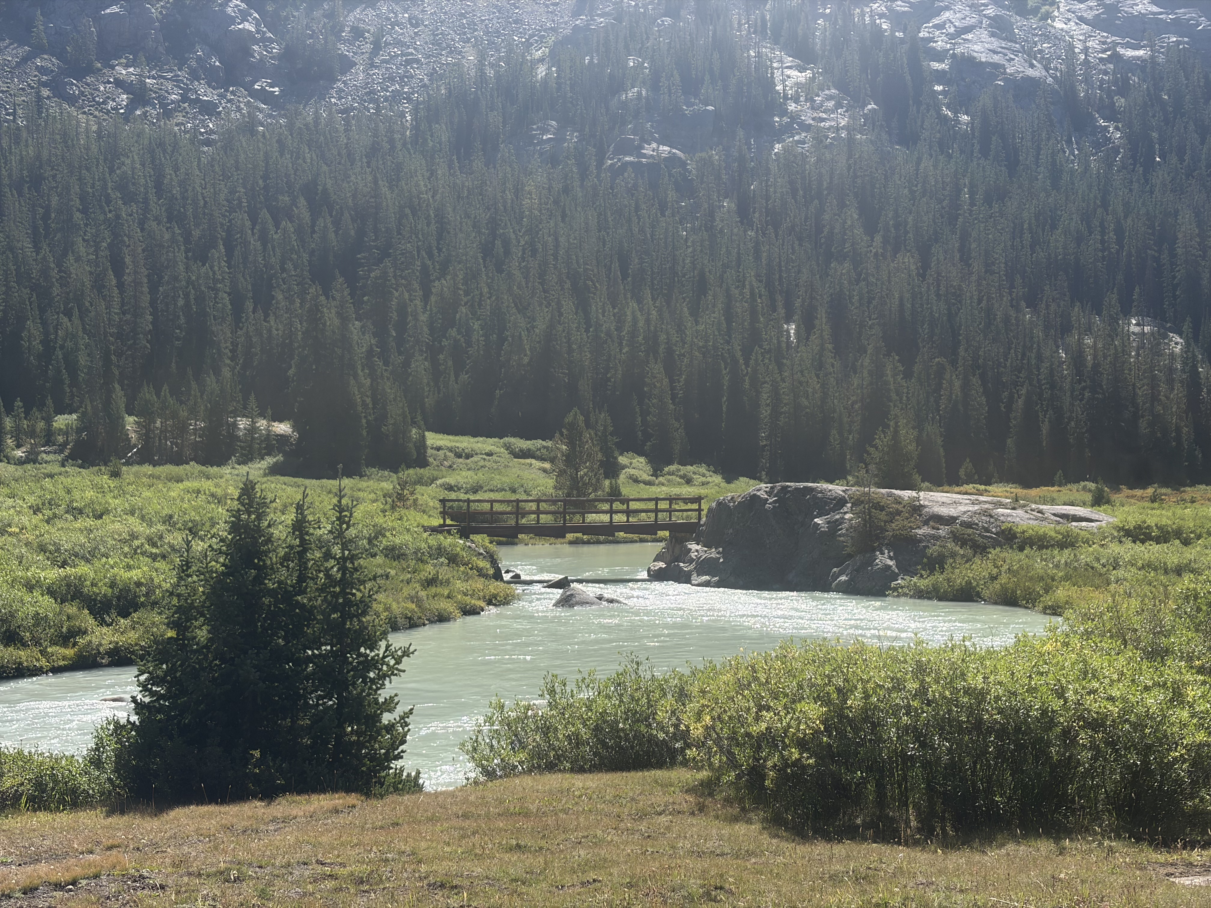
After leaving the creek, I was left with a hot and dusty twenty-mile slog through lodgepole pine forest. By the time I was approaching Goat Flat and the final descent to my car, I was ready to be eating a steak in Dubois. Alas, black clouds met me once again as I crested the last rise, and with nowhere else to go I walked towards another storm. As a small consolation, this vindicated my decision from this morning to stay low, as at this time I would have been near the summit of Downs Mountain (13,355 feet), the tallest point for seven miles in any direction.

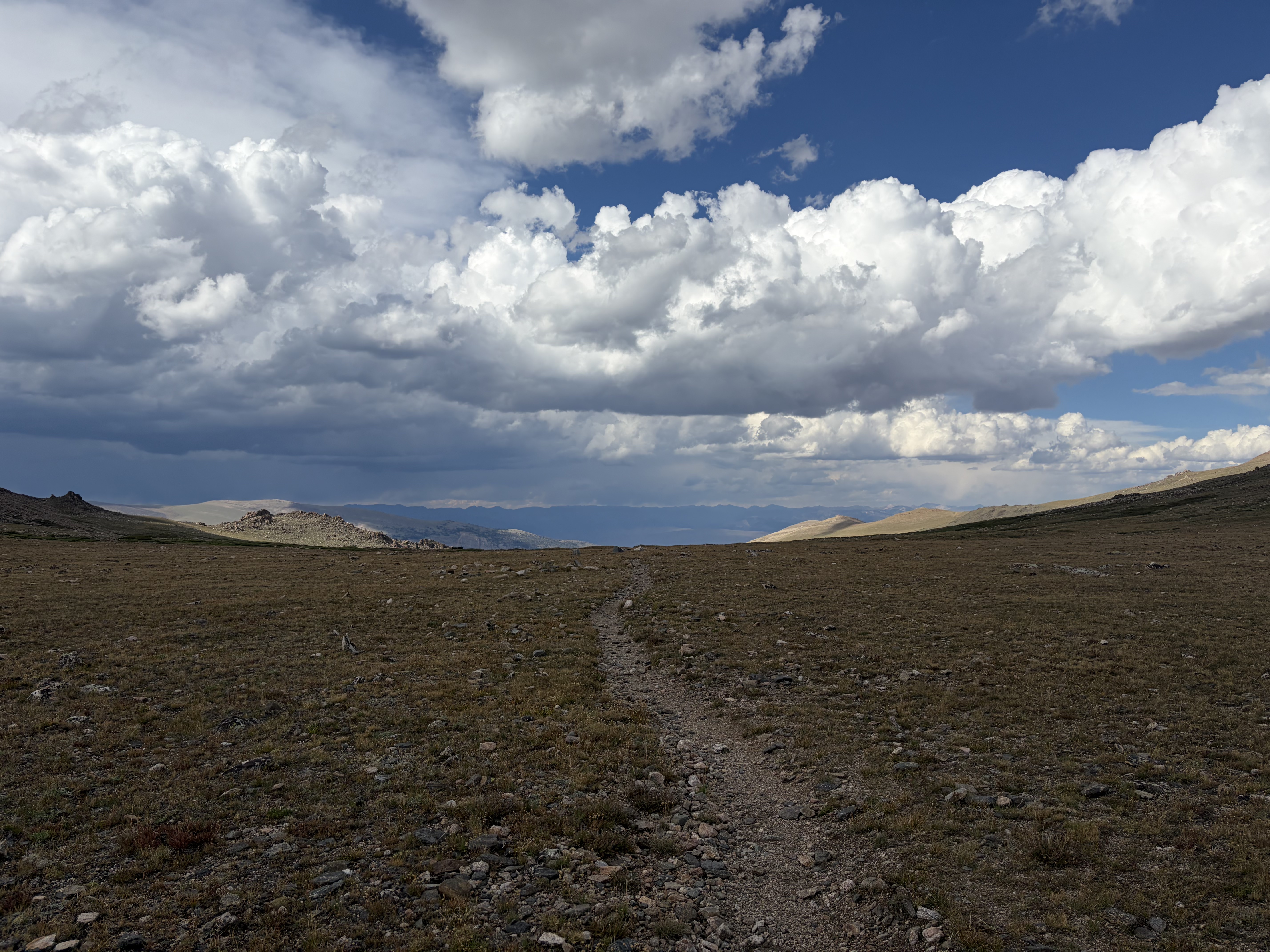
After a thorough soaking and a little scare, the storm cleared up and (not) soon enough I was at my car and driving towards civilization.


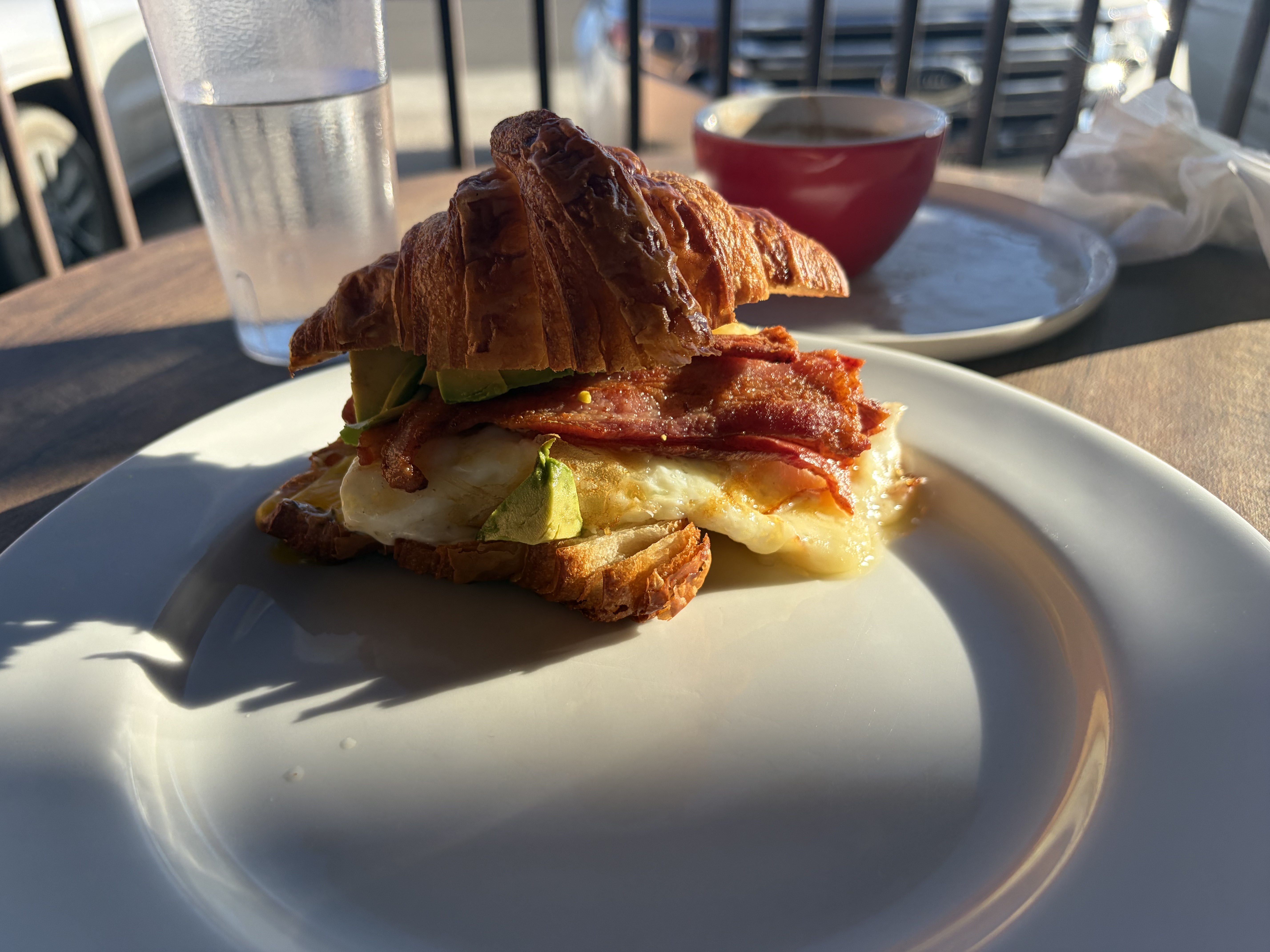
It’s easy for me to conclude that this was the supreme wilderness experience of my life.
Like whatcha see?
Enter your email to receive new posts in your inbox.