Sawtooth High Route
Published:
After a whirlwind of travel from Mexico City to Salt Lake City and finally to Stanley, Idaho, it was August 11th, I was camping out with Hannah (Road Runner, for long-time readers) for the first time in almost a year, and all felt right in the universe. This feeling of bliss continued during breakfast at the Stanley Bakery, and by 9:30 I was reunited with Chloe (Cinderella) and we were walking in a line down a trail as we should. Alas, it wasn’t a full PCT reunion without Buff Baby and The Model, but I still felt ecstatic.

We were headed into the Sawtooth range, a subrange of the Rockies in central Idaho. Our aim was to roughly traverse the range south to north over three days, following the crest of the range while avoiding technical terrain. The route we followed definitely achieved this goal, mixing trail, tundra, easy scrambling on slabs, and all the stages of glacial moraine (sand, gravel, scree, and talus from the size of a baseball to a sedan) with minimal bushwhacking.
You can see the route we planned (and the one we actually took) here as well as the gear I brought here.
Day 1
The walk up the Alpine Creek trail west of Alturas Lake was pleasant and mindless enough to allow us to continue catching up. After a few miles the trail was no longer maintained, but there was a strong use trail that led rather steeply up to Lake 8522, named Heart of Gold Lake by Hannah.


After a snack there, we turned north and hopped up an idyllic field of weathered talus to get to the next basin.


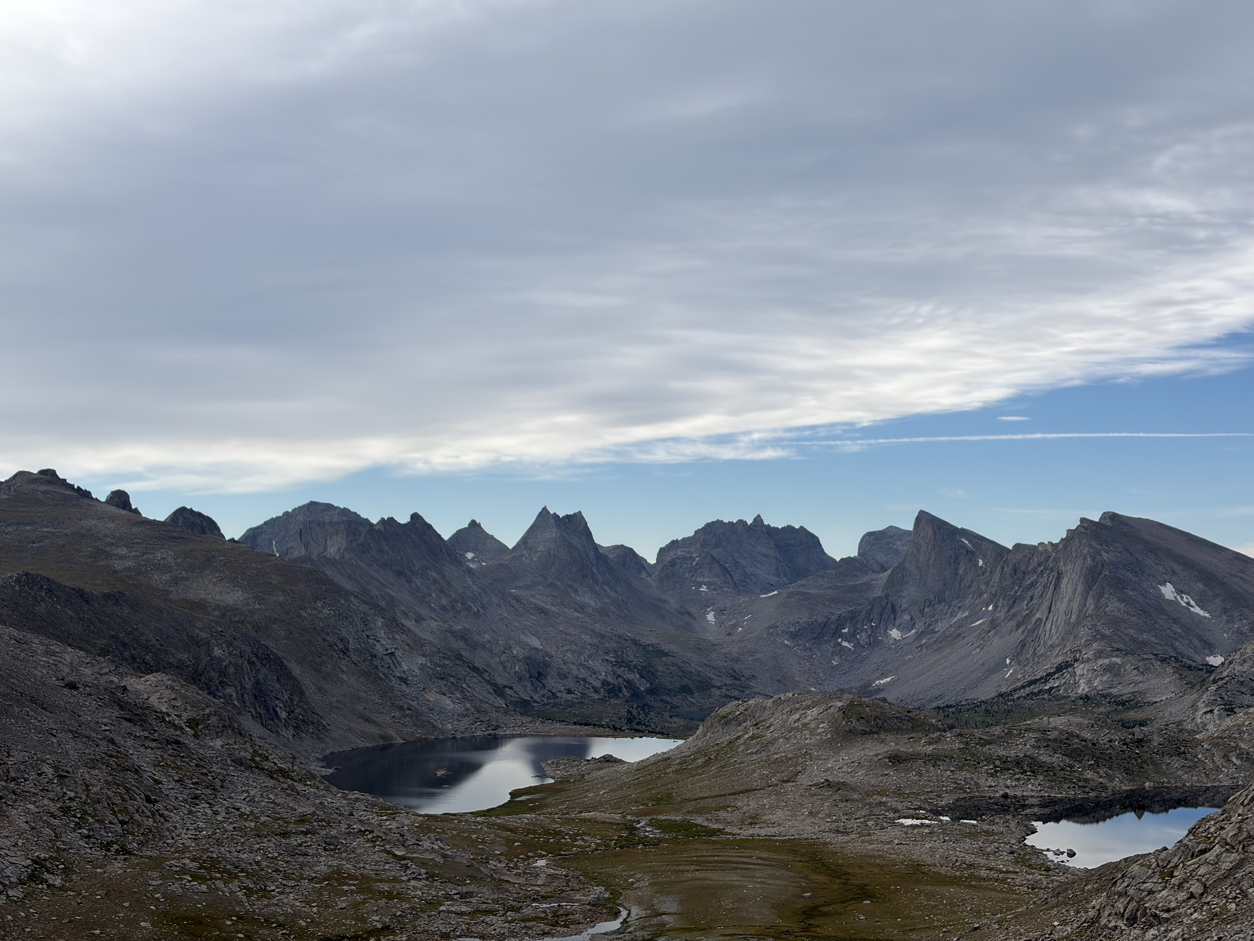
We pondered a few murky tarns before climbing a bit more to the majestic Lake 9050 and Lake 9167.


Contouring high clockwise around the lake to avoid some sheer bluffs, the final climb resolved into a straightforward meadow march to our first real pass. Before that began, we ran into an eccentric guy in sandals doing the same route as us southbound. In keeping with my experience on the PCT, he “warned” us about several challenging terrain features that awaited us, all of which—without exception—were greatly exaggerated or dead wrong.
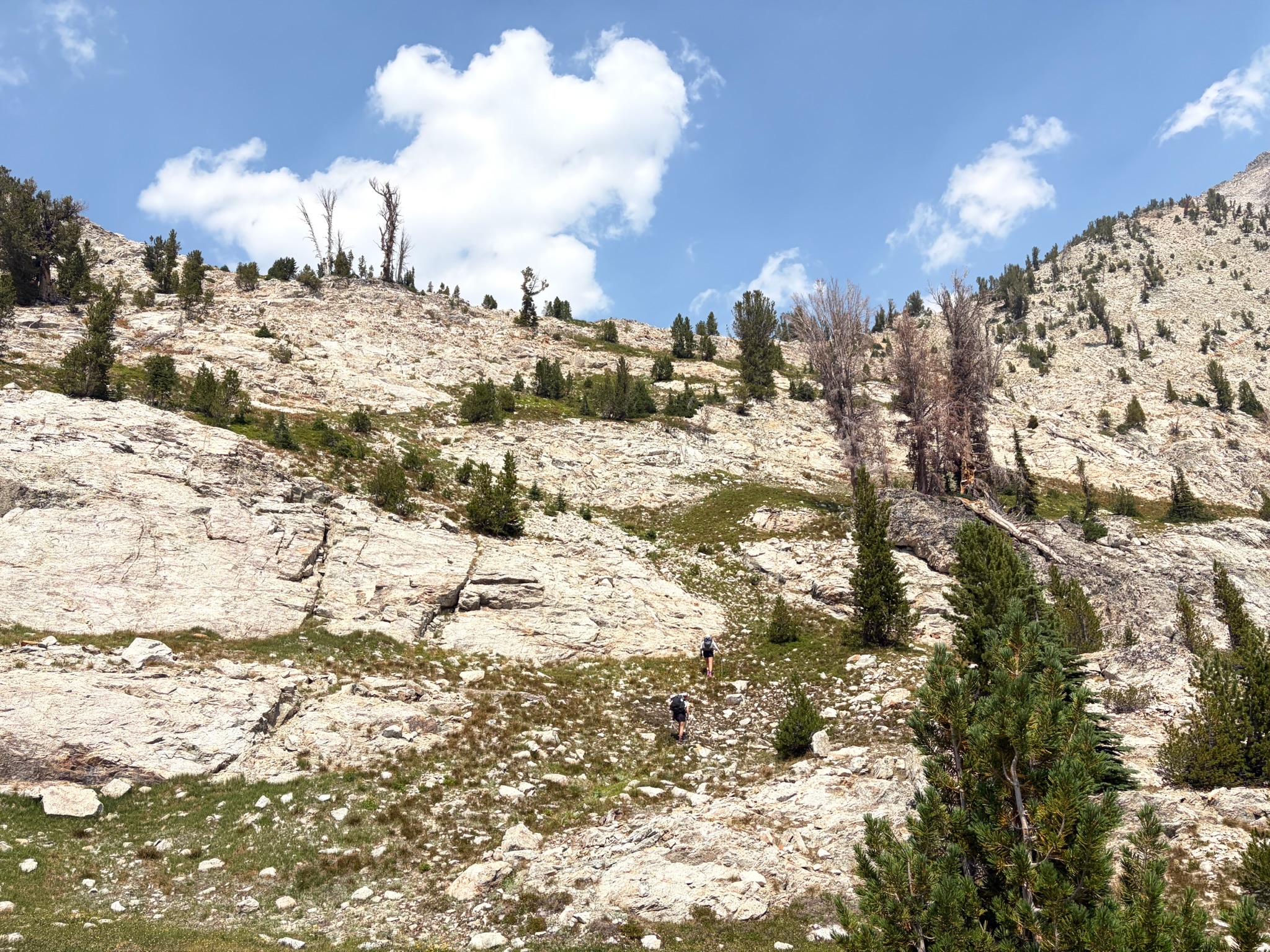
Trying to keep up with my two crusher partners after a week of math, Mexican food, and meager exercise in Mexico, I came very close to an all-out bonk on this climb. Fortunately, I made it to the top, crashed down, and attempted to revive myself with a big dose of peanut butter M&Ms and a liter of water. My medicine kicked in by the time we reached Heart Lake for a late lunch.


Feeling back to my best after a dip and some food, we sallied forth up and over the pass east of Glens Peak, and descended 250 feet towards Ardeth Lake before backtracking to the right contour, traversing above the granite cliffs on the lake’s east flank, and finally descending northeast towards Edna Lake and the first trail we had seen since the morning.


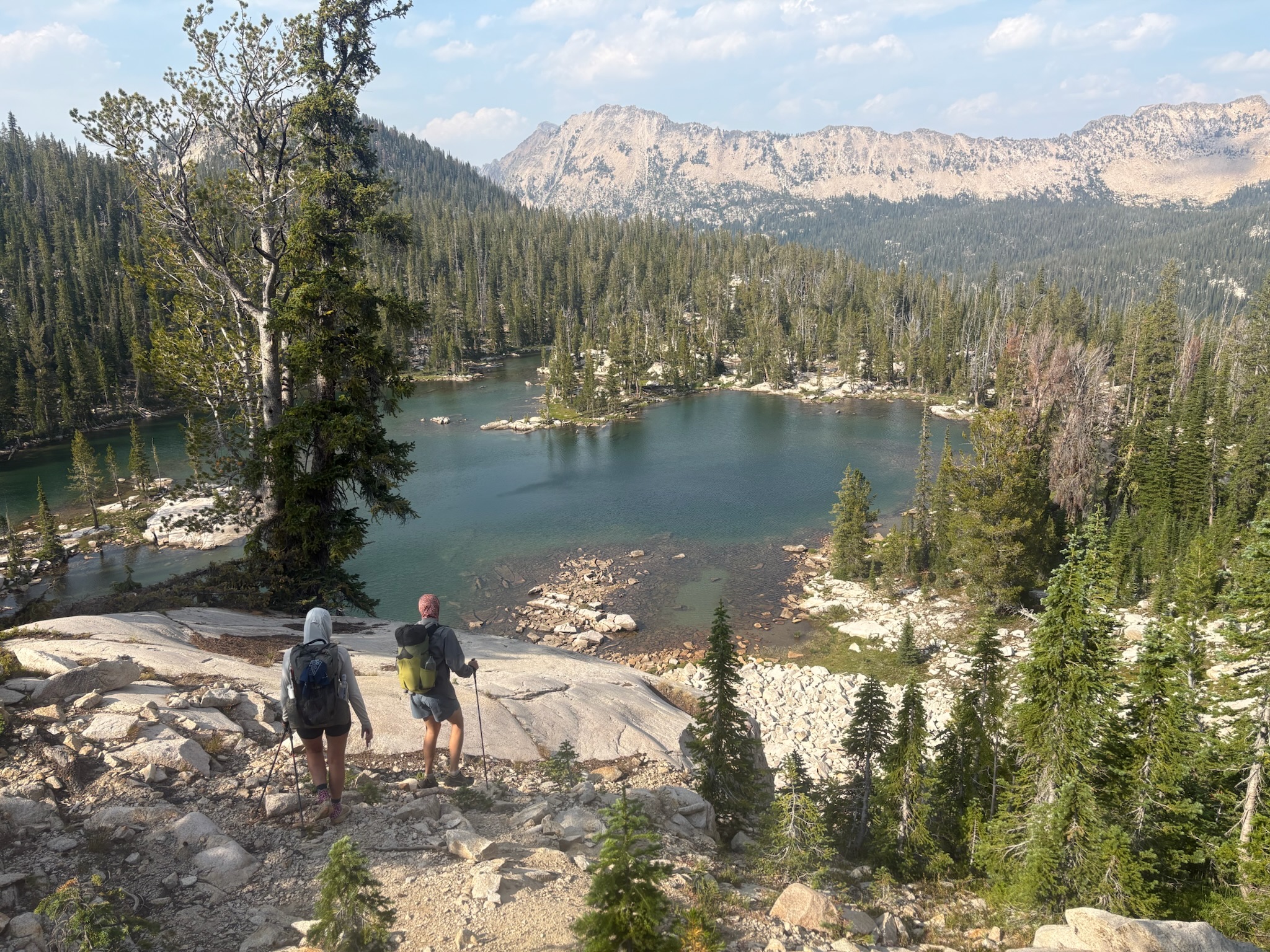
We shot down the trail towards Hidden Lake, where we diverged from it and wrapped west to the next drainage over. Feeling exhausted at this point, with even a slight incline causing my heart rate to redline, I told my friends I could take no more. Relenting, we made camp under the stars at a small tarn off trail, ending a day of fifteen miles and five thousand feet of gain.

Day 2
After a night of poor sleep, we all woke up early and were moving by 6:30. We packed out cinnamon rolls from the bakery for breakfast, so we were riding a sugar high as we ascended medium and then large-sized talus to a truly exquisite lake basin.


The climb up to the pass was a mellow tundra stomp past several more stunning lakes.

The final push to the top was sandy and moderately steep, and at the top we were treated with a spectacular view north. The descent on small stable talus brought us to a swampy area and the beginning of a slow ascent to Lake Kathryn.


Though the Sawtooths haven’t been extensively glaciated for at least 10,000 years, our ascent towards Lake Kathryn traversed through a jumbled moraine of Mini Cooper-sized boulders that were tedious to navigate.

Eventually we reached a smattering of tarns, after which the travel to Kathryn was joyful in comparison.


After enjoying a snack at the lake, we scrambled up some easy slabs before commencing a long ascending traverse across scree towards a faint climber’s trail which led to the top of the pass.


The descent down to Packrat Lake was sandy, steep, and loose, making travel slow and lunch come later than my stomach wanted. Sooner than my energy levels wanted, we were walking once again, a long sidehill on talus and alpine grass towards Blue Rock Lake. I started to feel low energy again here, but copious sugar, fear of embarrassment, and music sustained me.


Once at Blue Rock, we followed an abrupt climber’s trail up the lake’s inlet and past beautiful sheer granite faces with lots of weathering and desert varnish (manganese oxide I think).


After this narrow section, it was another grind up tundra and then all the stages of glacial moraine to reach the pass. Fortunately, my energy rebounded well (dead cat bounce) and we all made it to the top in no time.


The north side of this pass was precipitous, with the top thirty feet around 45 degrees. After this first contour, it was over one thousand feet of loose scree punctuated by a nice glissade to arrive at the Baron Lakes.


We bushwhacked around the southwest side of Upper Baron Lake in order to sneak across the isthmus separating Upper from Baron proper. We enjoyed the privileges a trail affords on the isthmus and for a mile afterwards, before bushwhacking a half mile east to make camp at Upper Braxon Lake. A hard twelve-hour day with fourteen miles and just shy of six thousand feet of vertical gain to show for our effort.
Day 3
We woke up to hard rain and distant thunder, so without much discussion we decided to pull the plug and hike on a series of better-protected trails out to the Iron Creek trailhead. Though the weather soon cleared (as it always does), we probably made the smart choice, since evening thunderstorms rolled in which would have made the hardest section of our route higher consequence. Otherwise there’s not much to report about this day’s hiking: we followed trail northwest down Baron Creek through a beautiful valley even with its recent wildfire scarring, then up a well-graded trail northeast along the north fork of Baron Creek before turning north towards a couple stunning tarns and, finally, the magnificent Sawtooth Lake, a felicitous name.


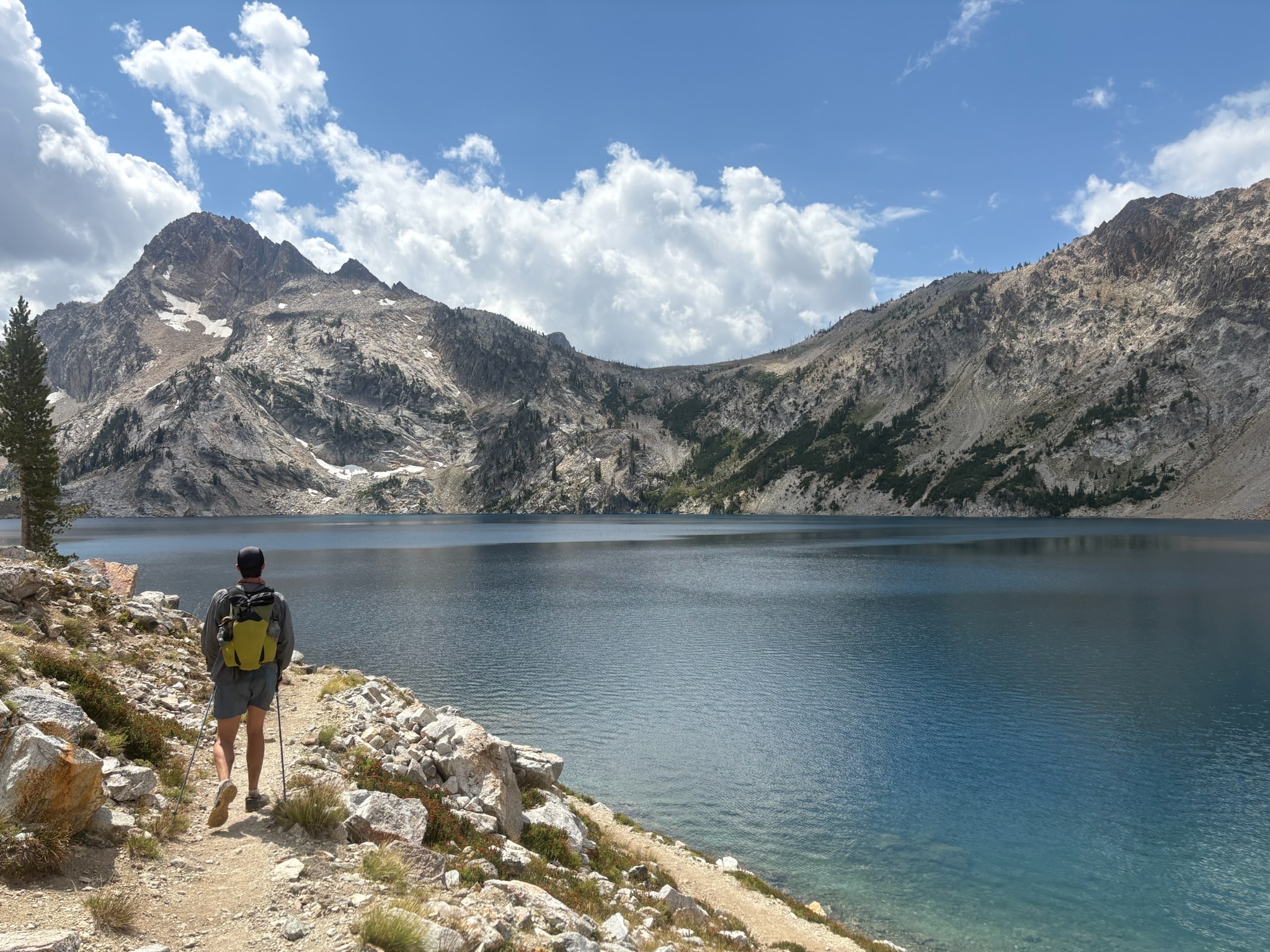
After Sawtooth Lake, it was a hot and dusty descent to the trailhead through lodgepole pine forest, a march reminiscent of many days on the PCT and perhaps an inevitable part of a backpacking trip in any of the drier western states. Unfortunately, a mix up meant that the keys for our car shuttle had been left at the other trailhead, so we ended our trip with a few miles of road walking before a coworker of Hannah’s picked us up.
Despite the delays, we were able to go to an awesome hot spring, shower, and still make it to our reservation at the Stanley Supper Club for a sublime post-trip dinner. I ended up getting stuck in the Stanley vortex for a few extra days of rafting, food, and running in the mountains. I got some sort of bug on my last day and with that decided to begin my long drive home.


Like whatcha see?
Enter your email to receive new posts in your inbox.