Uintas Loop
Published:
Feeling the need to drive off the spleen and regulate the circulation, growing grim about the mouth, lingering before coffin warehouses, my hypos getting the best of me, a drizzly November in my soul, et cetera et cetera, I knew it was time for a backpacking trip.
Inspired by the phenomenal displays of athleticism here and my nascent desire to peakbag, I set out to hike several of Utah’s 13,000 foot peaks, all nineteen (or twenty one, depending on how one counts) of which are located in eastern Utah’s High Uintas Wilderness.1 I planned a loop hitting all but a pentad further west than the main conglomeration. This was a deliberate divergence from the through-hike mentality, where one moves quickly through the landscape; instead, I would spend hours hopping up and down talus-laden peaks in a few drainages, thereby slowing down and spending more time in a place. This wasn’t how the trip turned out at all.
I ended up doing a loop of ~47 miles with about 9,000 feet of elevation gain, hitting just one peak (Kings Peak) while visiting seven major drainages.
You can see my route on CalTopo here and my gear list on LighterPack here.
Day 1
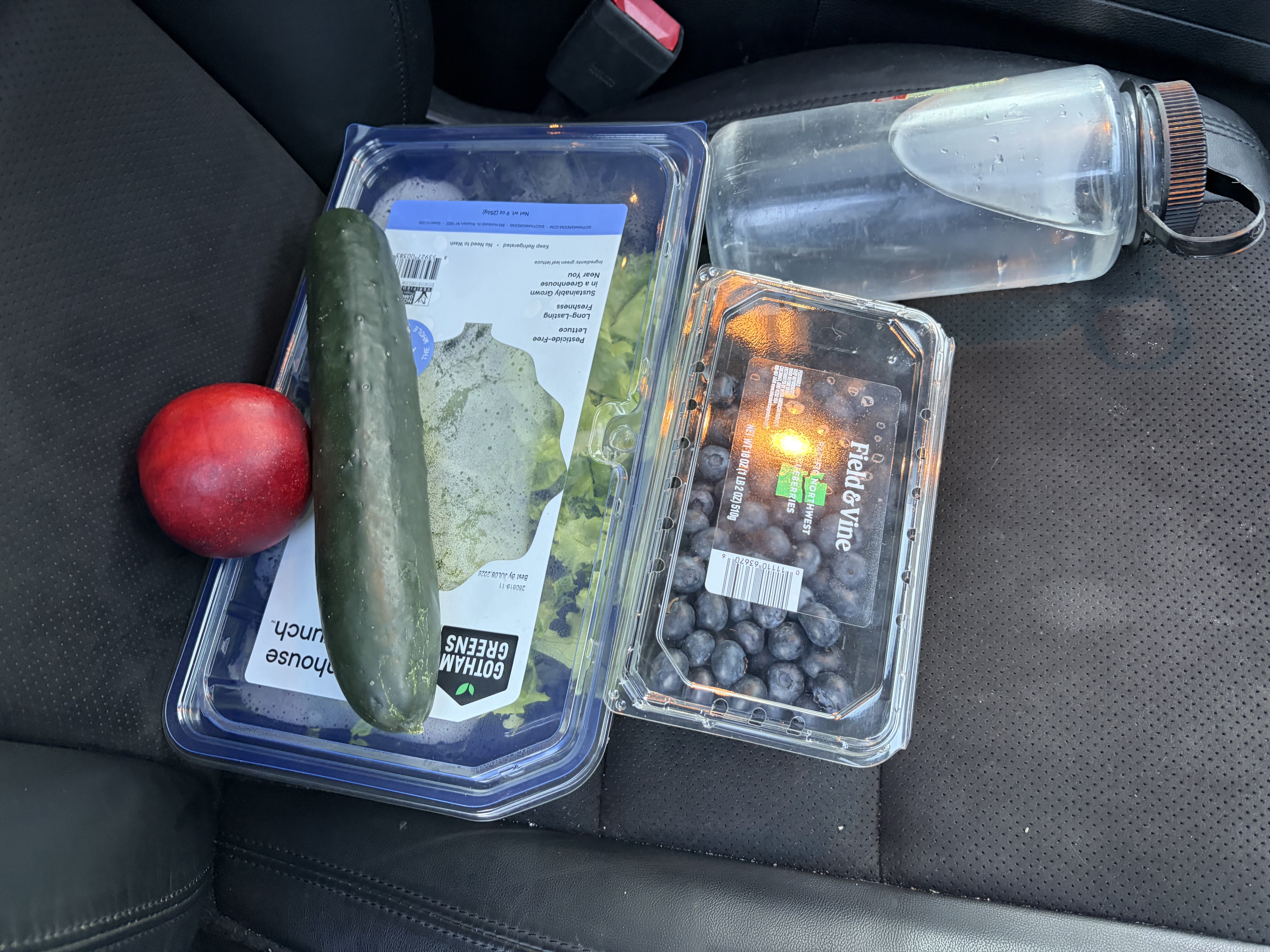
Having drawn out my route weeks ago, I waited for an appropriate weather window. This was important since most trails in the High Uintas are between ten and twelve thousand feet, well above treeline, thus making thunderstorms a major hazard. The night of July third the weather report for the area changed to be favorable, so I hustled to the grocery store, stayed up late repacking food and assembling my gear, and woke up early on Independence Day for the three hour drive to the East Fork Blacks Fork trailhead.
In my trip plan, I wrote a note emphasizing that it would be important to spend the night at the trailhead (~9,000’) before starting to aid acclimation to the altitude. Because I decided to go at the last minute, I skipped this, much to my detriment.
After some entertaining dirt road driving in Wyoming, I made it to the surprisingly empty trailhead lot and quickly left around ten. I hiked north on the Little Fork Blacks Fork trail, up the drainage of that creek. The trail was well-maintained and the scenery was gorgeous. I spooked a golden eagle by bumping into her tree, which sent her circling one hundred feet over her head with her chicks crying out down below.


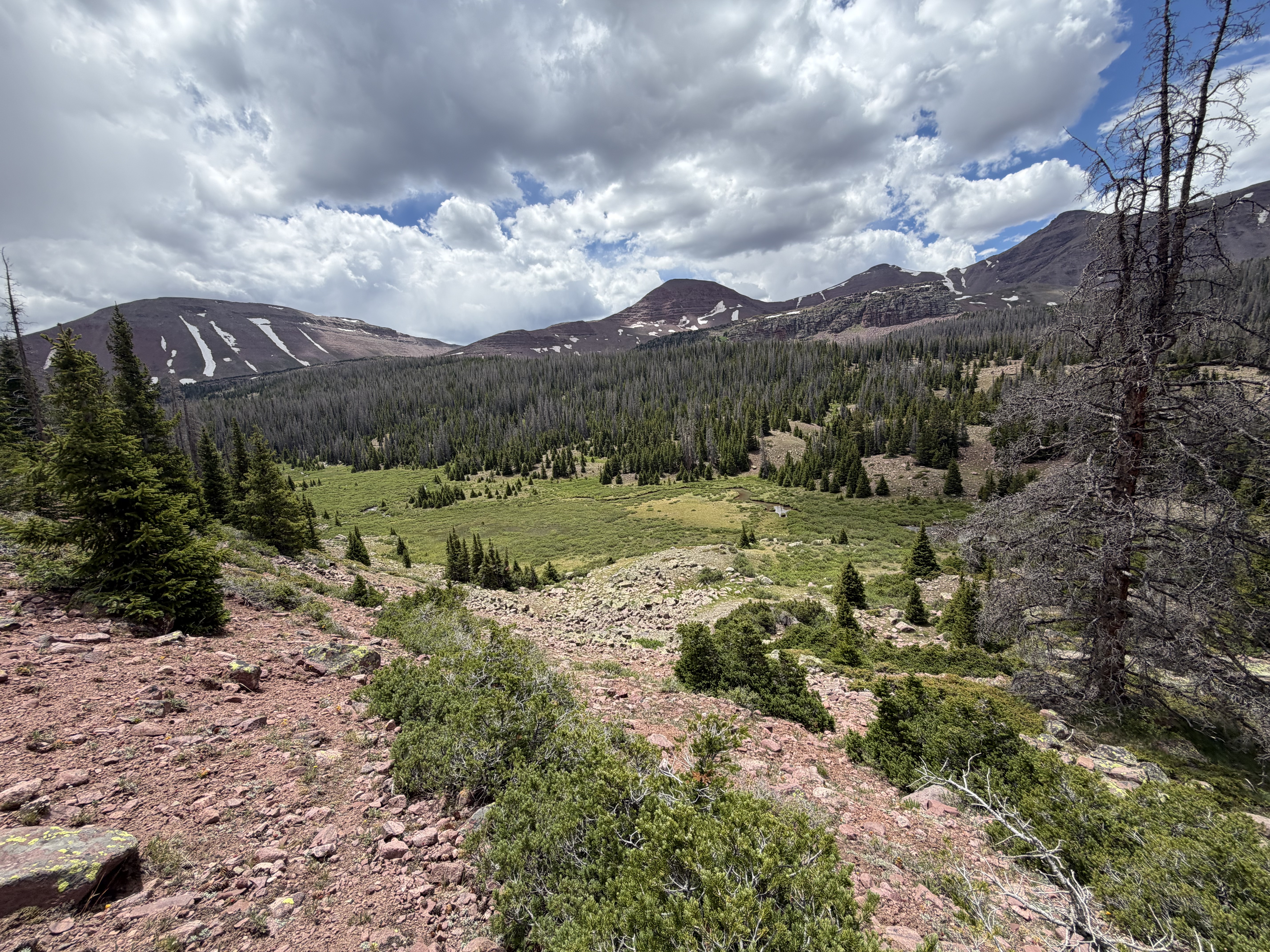
Since the trail was often faint, I accidentally followed a game trail quite far afield, not realizing my mistake until I was three quarters of a mile and four hundred vertical feet away. The necessary bushwack was intermittently loose scree and very boggy marsh, so I was duly punished for my navigational mistake. By the time I regained the trail, it was clear I had minor altitude sickness (Acute Mountain Sickness, for the cognoscenti)—nausea, fatigue, loss of appetite. I soldiered on towards Nahguch Pass, but the dark cumulous clouds finally converted to cumulonimbus calvus and began dropping rain (I’m reading a book on meteorology, which is the study of the Earth’s weather and atmosphere, and not of meteors).

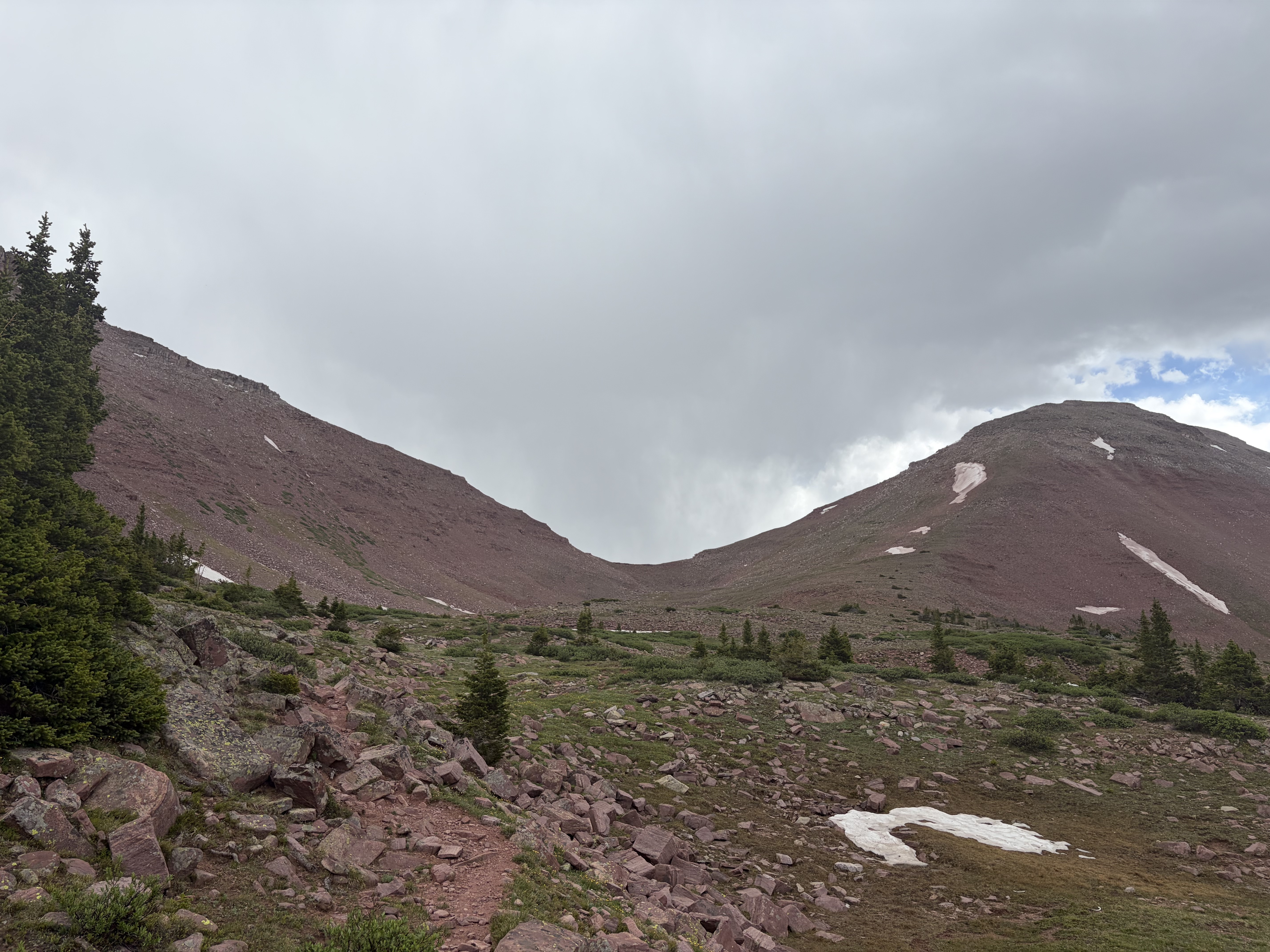
With the pass in view, I made the tough decision to turn around and camp at treeline, knowing that on the other side of the pass was an 11,500 foot basin with zero coverage to protect me and my tiny tarp if a thunderstorm rolled in. I read L’Education Sentimentale by Flaubert under my tarp while it rained, but the AMS fatigue meant that one page of difficult French took me several minutes to comprehend, so I eventually gave up and tried to nap.
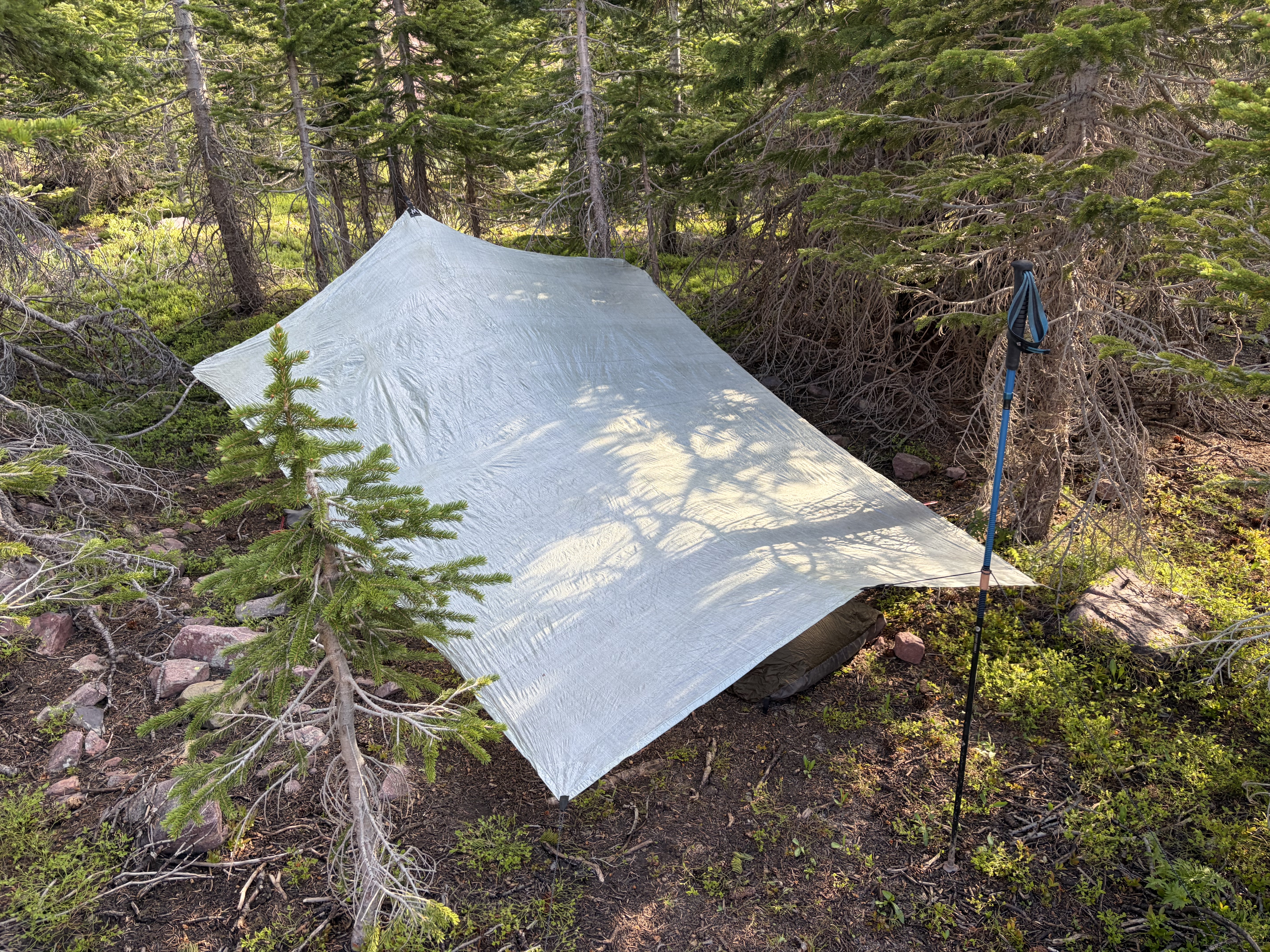
The sun briefly poked out while I ate an early dinner.

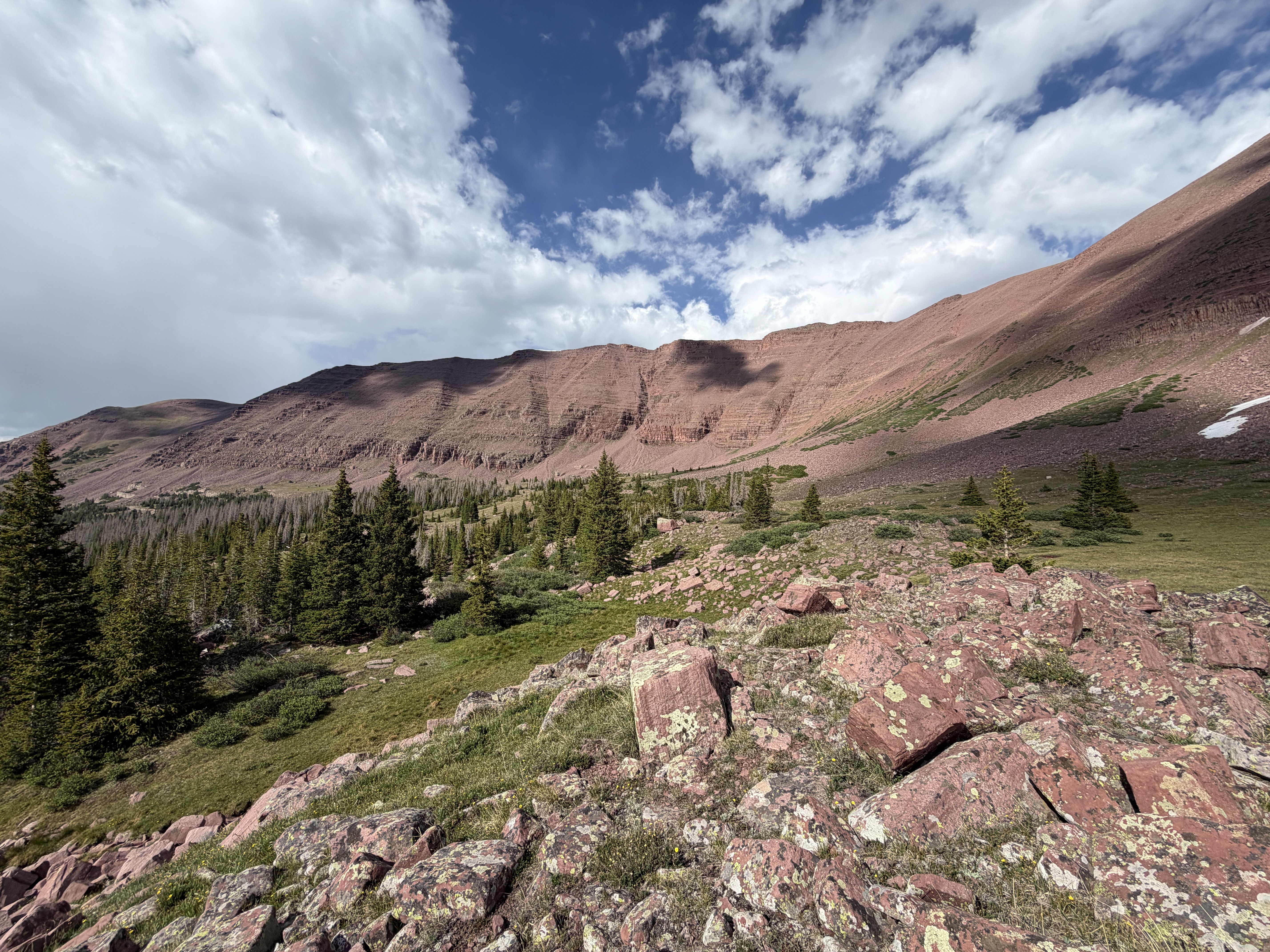
After dinner I still felt crappy, so I changed my route plan significantly, deciding to shoot over to Kings Peak (the Utah highpoint) via the Highline trail tomorrow and bag further peaks in the area in the subsequent days if my condition improved.
Day 2
I was nauseous all night and only slept intermittently because of the altitude, so I went with my plan of just going to Kings Peak, camping nearby, and reassessing the next day.

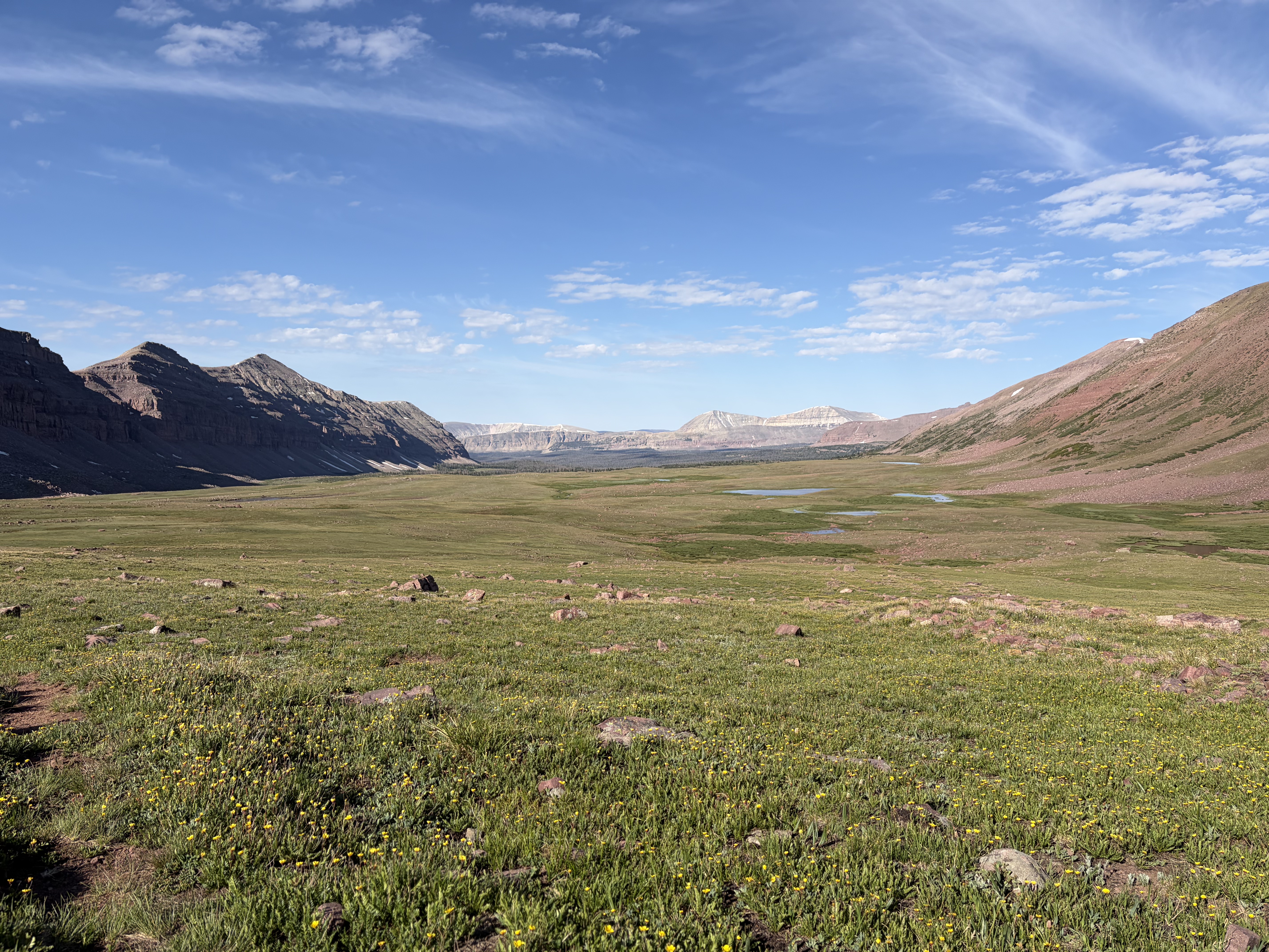
I had to go over three passes (Nahguch, Porcupine, and Tungsten) to get to Anderson Pass, where the standard class two scramble route to the summit of Kings Peak begins.


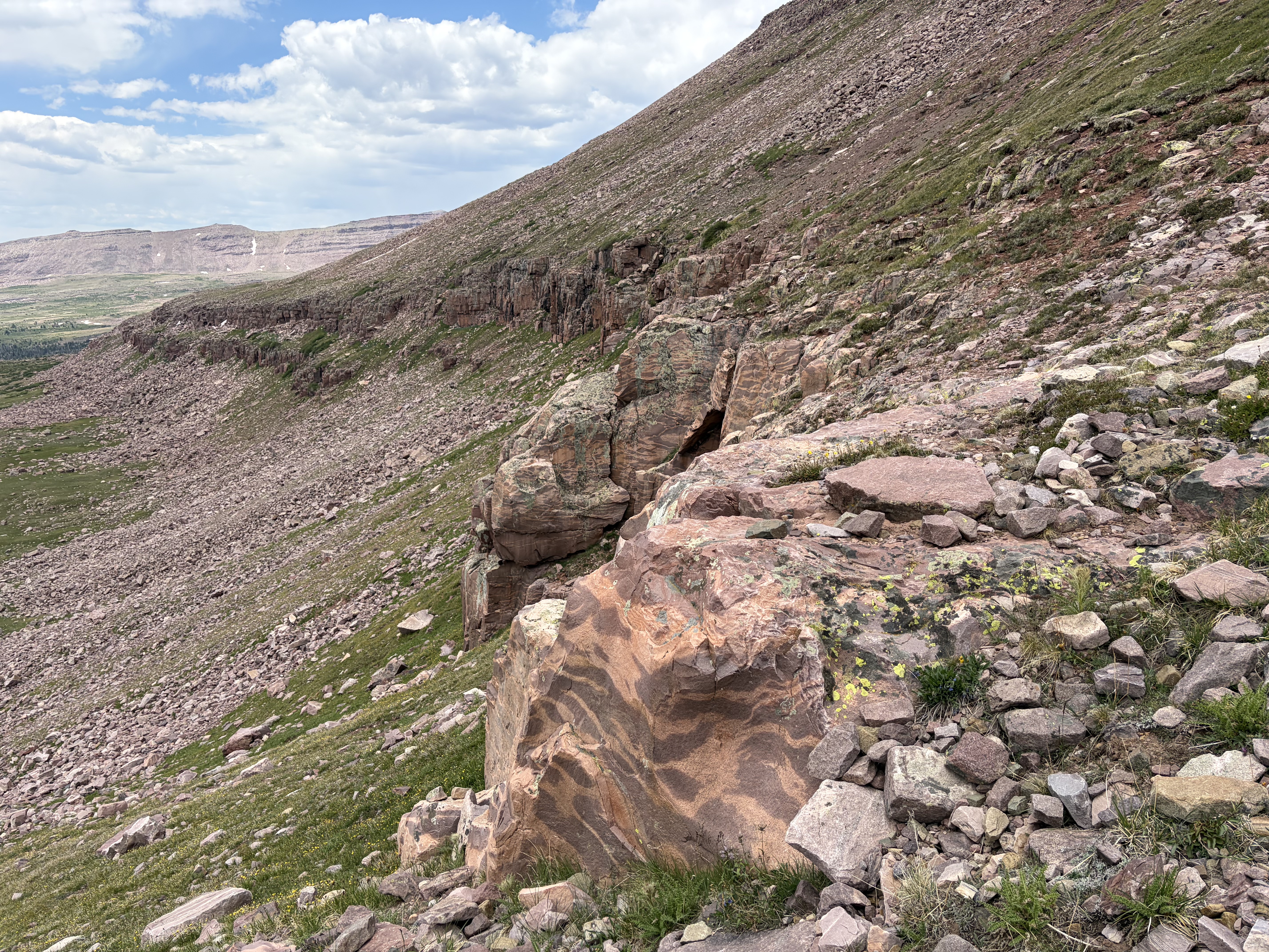
At 2:00 I made it to Anderson Pass (~12,500’), where I momentarily paused to drop everything except a few snacks, my shell, and a liter of water. The sky was dark with lots of virga to the north, but since I thought the clouds were altostratus I decided it was safe to hike on. I initially took a suboptimal line east of the ridge recommended by David Rose’s Utah Thirteeners guidebook and supported by social trails. This soon turned to loose talus which felt ready to slide, so I carefully went up to the ridgeline and instead had a fast and secure class 2/3 scramble to the summit. While avoiding a snowfield, I ran into a curious couple sitting on a boulder seemingly taking in the view. They had only daypacks and ridiculous chest rigs for their huge cameras, probably not much use on such a cloudy day. They didn’t speak much English, so I quickly moved on and made the summit in about forty five minutes. Though I generally pick up all the trash I find in the backcountry, the used tampon and applicator I found next to the summit block was too much for me to handle. Despite the clouds, I found the view awesome.


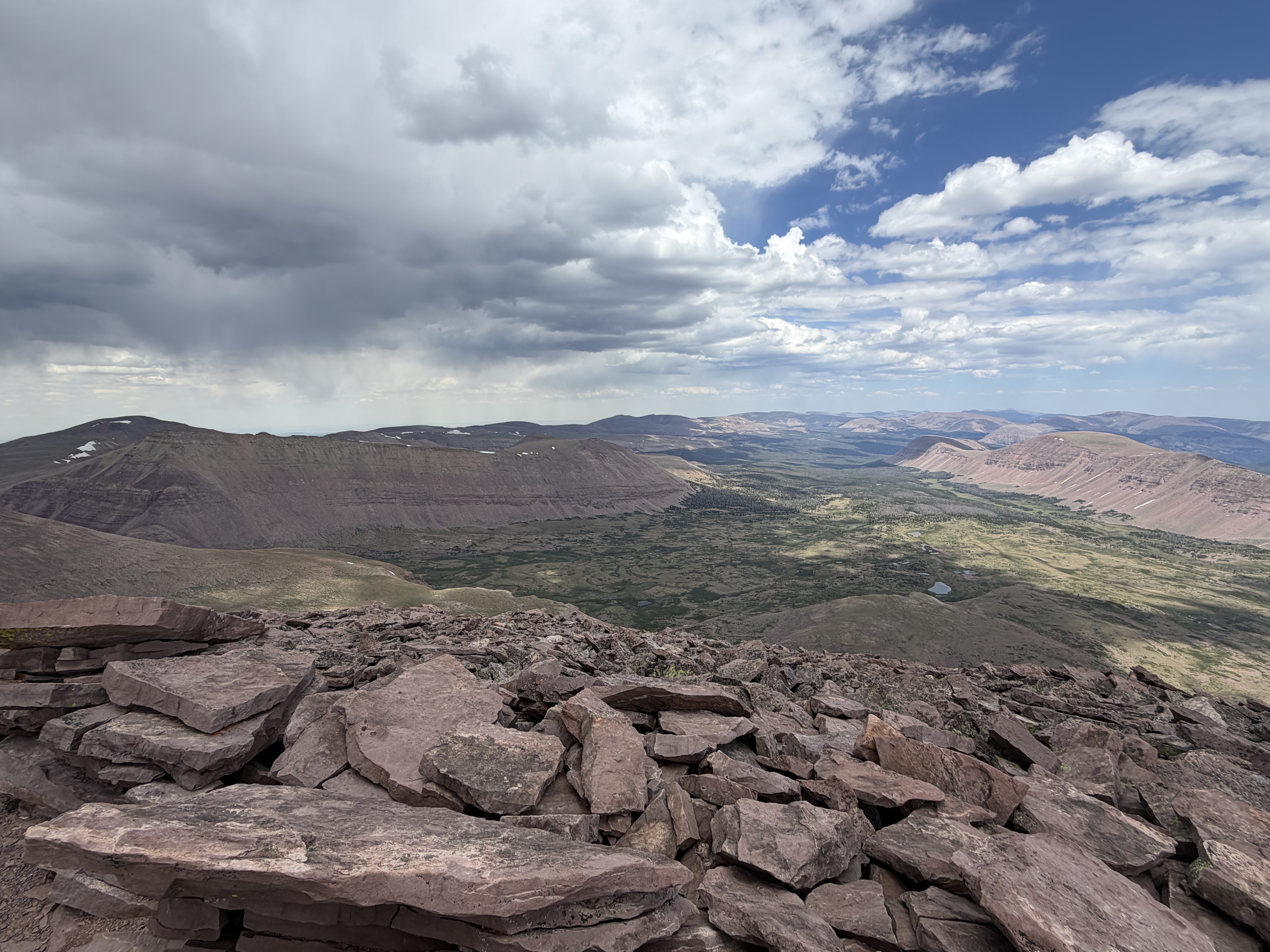
I couldn’t hang out for long since the altitude (13,518’) was causing me all sorts of issues. I made the same mistake on the descent, descending too low and ending up on very unstable talus. After correcting my mistake, I quickly got back to the ridge, then the pass, packed up, and hurried down to the wide Gunsight plateau hoping to find some snowmelt water. Strangely, the couple was only a few hundred feet down the pass, so I passed them soon after. I asked them if they were camping or heading back to the trailhead today, but they seemed confused by my question (and maybe confused in general, they were acting quite strange). I grabbed water then started heading towards Gunsight pass, the last of the day. I only had to gain five hundred feet, but it practically destroyed me. My Spotify wasn’t working either, so I had no music for motivation/distraction the entire trip. I ended up thinking about math for 75% of the time, so maybe the trip was less of a break than planned.
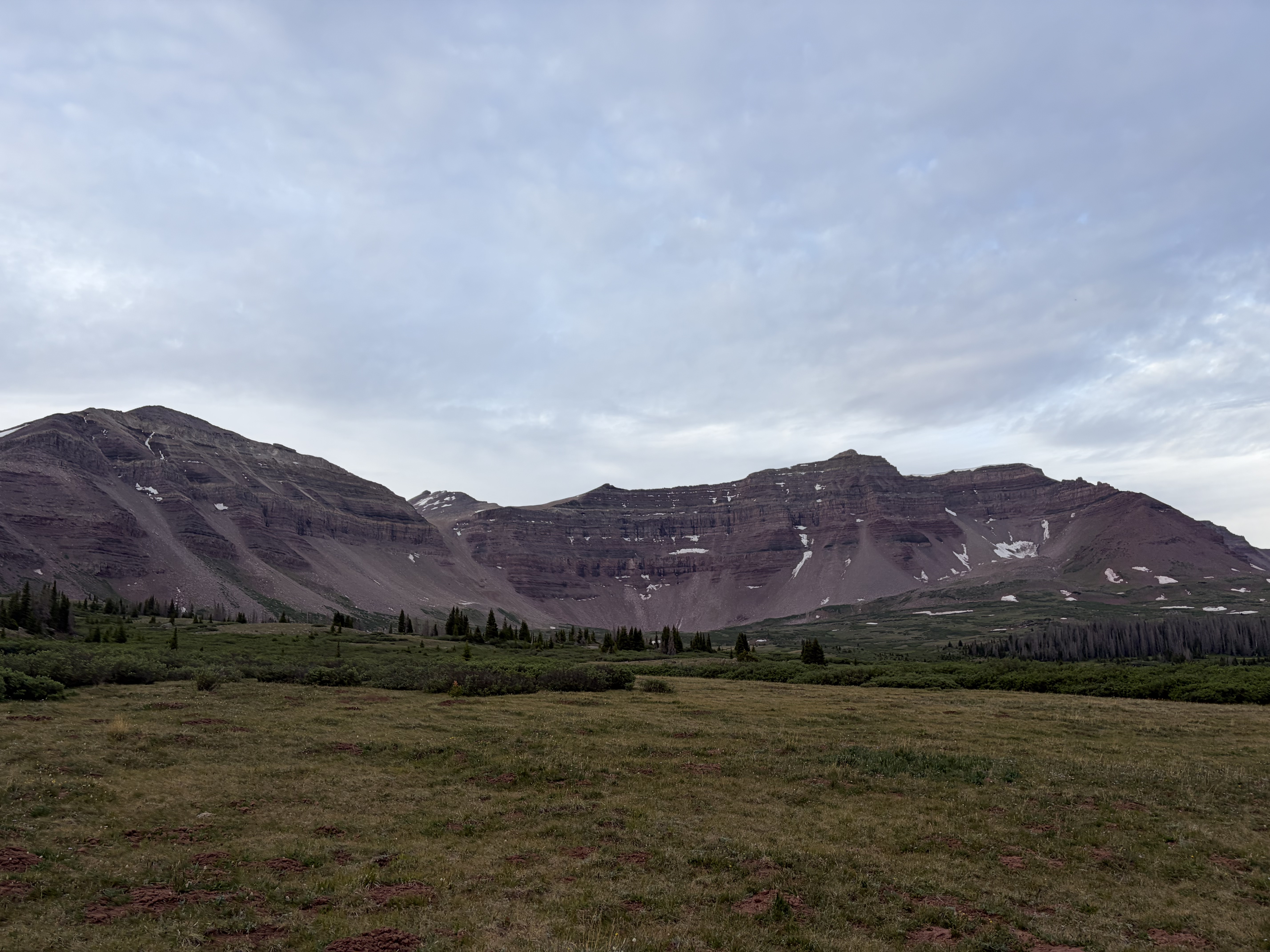
I set up camp at the first copse of trees after the pass, defended myself from the mosquitoes while I forced myself to eat despite my lack of appetite, and spent another night not sleeping. Around nine, the couple passed by my camp loudly arguing in Chinese.
Day 3
I woke up with all my AMS symptoms as well as painfully swollen neck glands (not a symptom of AMS as far as I know), so it was an easy decision to loop back to the car.

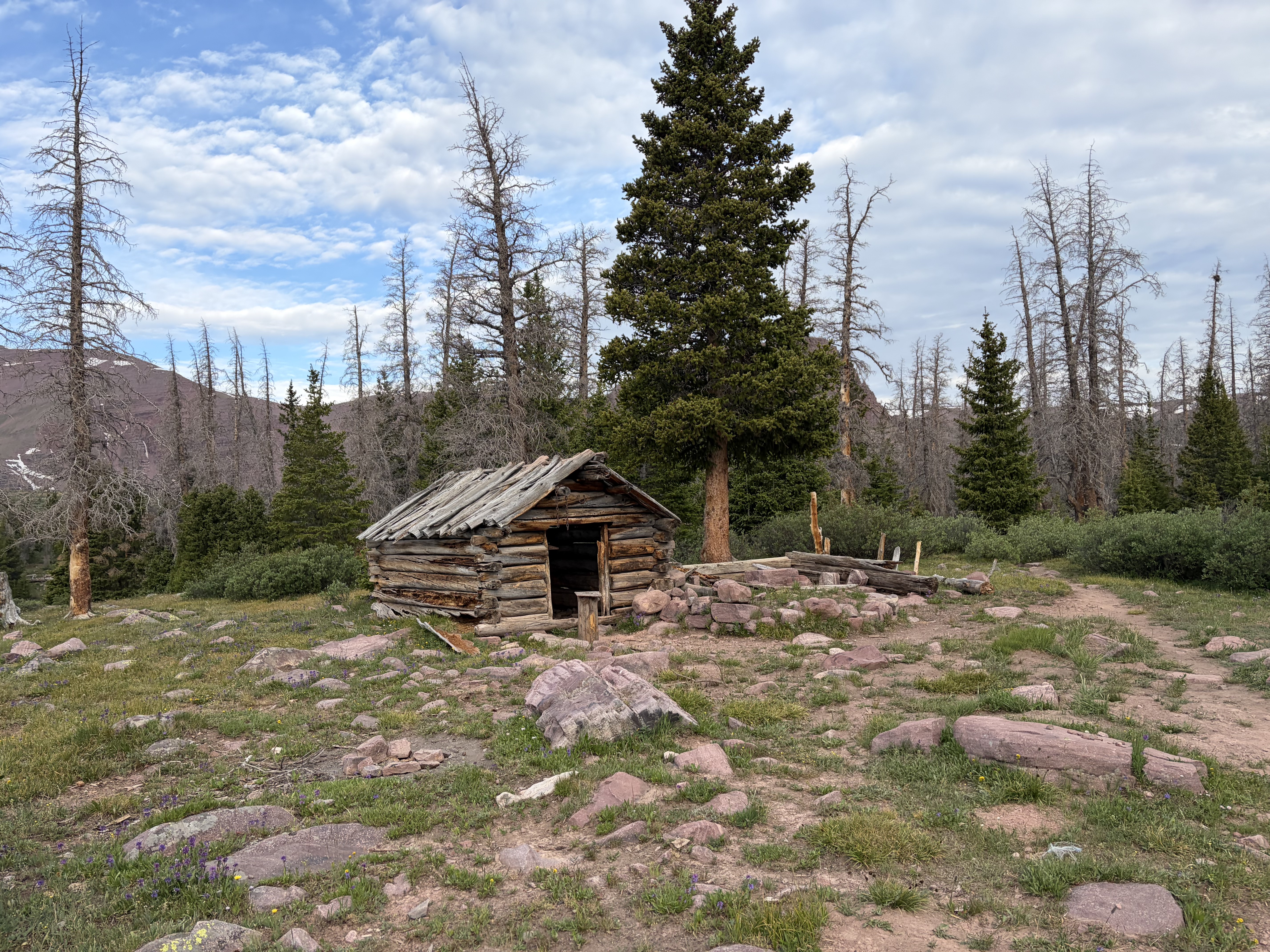
Before the sun had rose, I saw a moose drinking in Henrys Fork Lake.


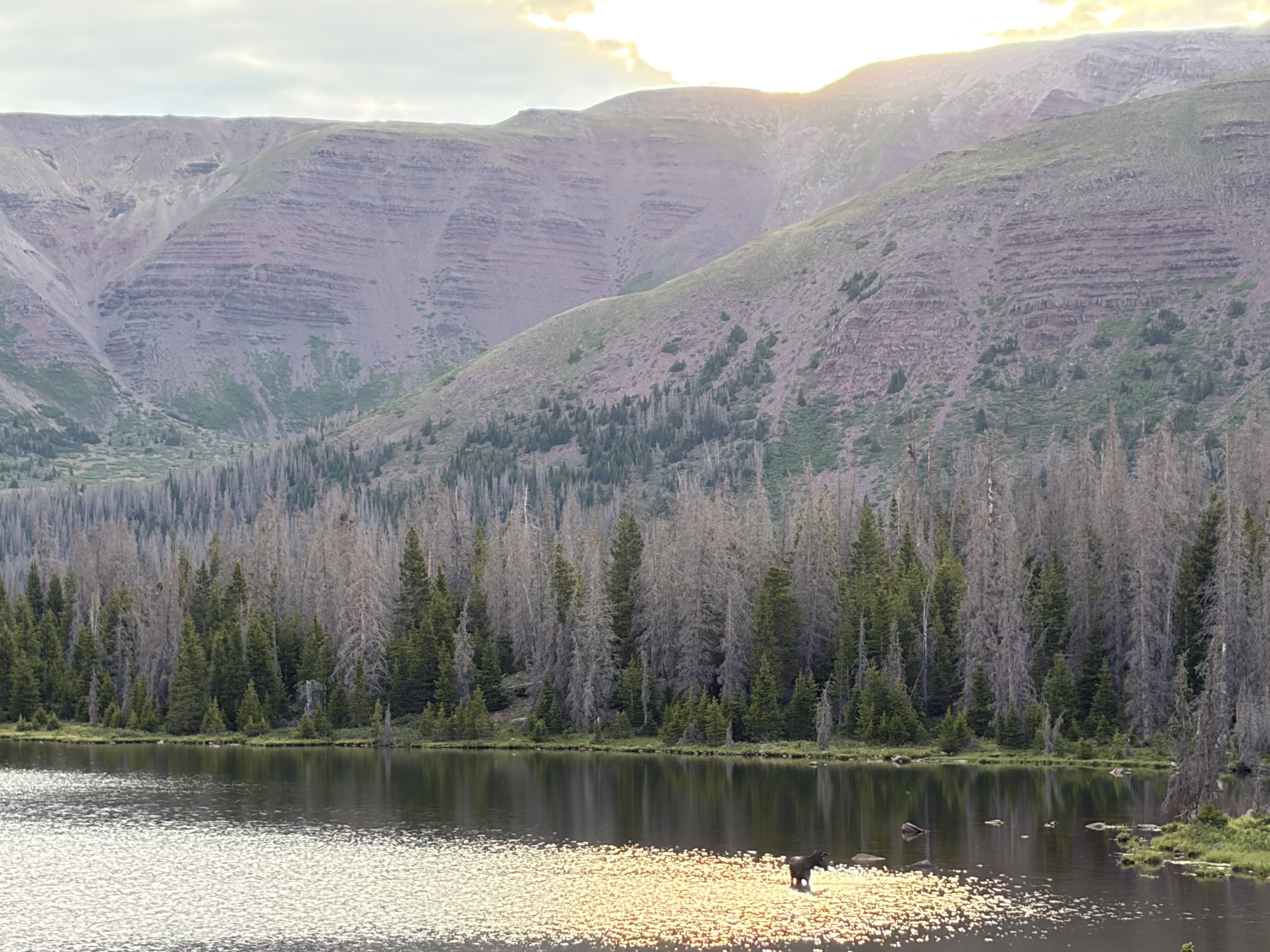
I continued to see moose throughout the day, totalling at least twelve, though none posed for me quite like the first.


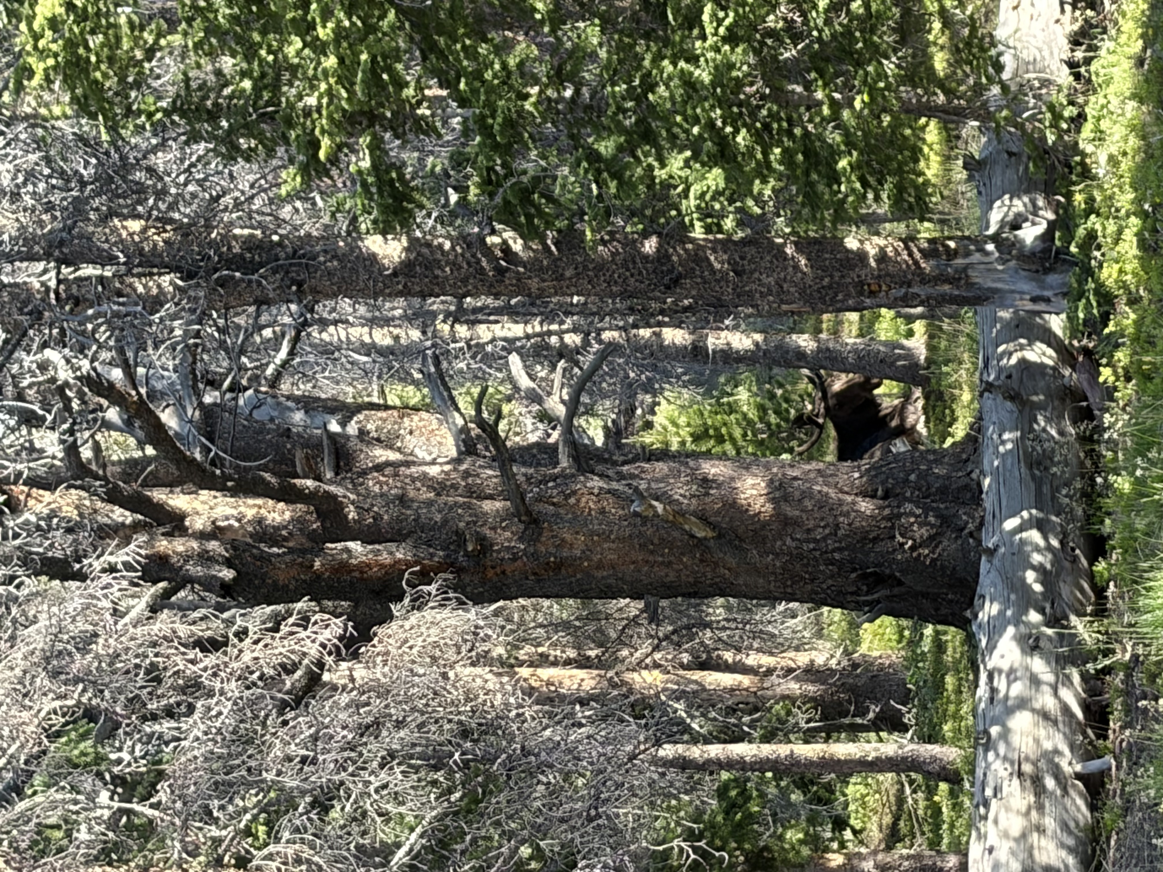
My route ended up being far harder than it looked on the map, since several miles of the North Slope Highline trail were completely unmaintained. I probably had to jump over five hundred blowdowns, and many sections were impassable so that I had to reroute around them through bogs, which helped my mosquito bite collection immensely.

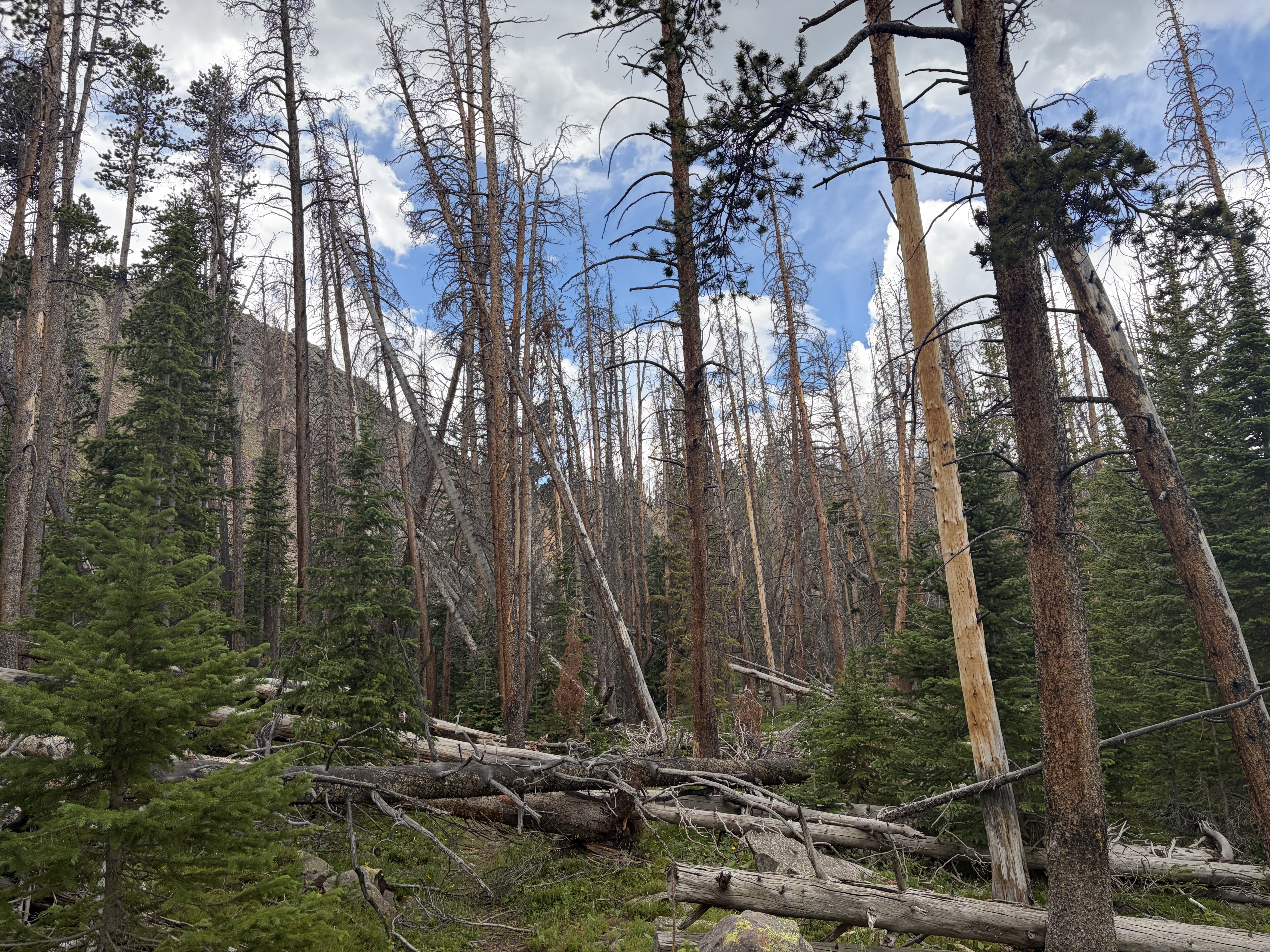
All the wildflowers made me a little happier, and I eventually made it back to my car.

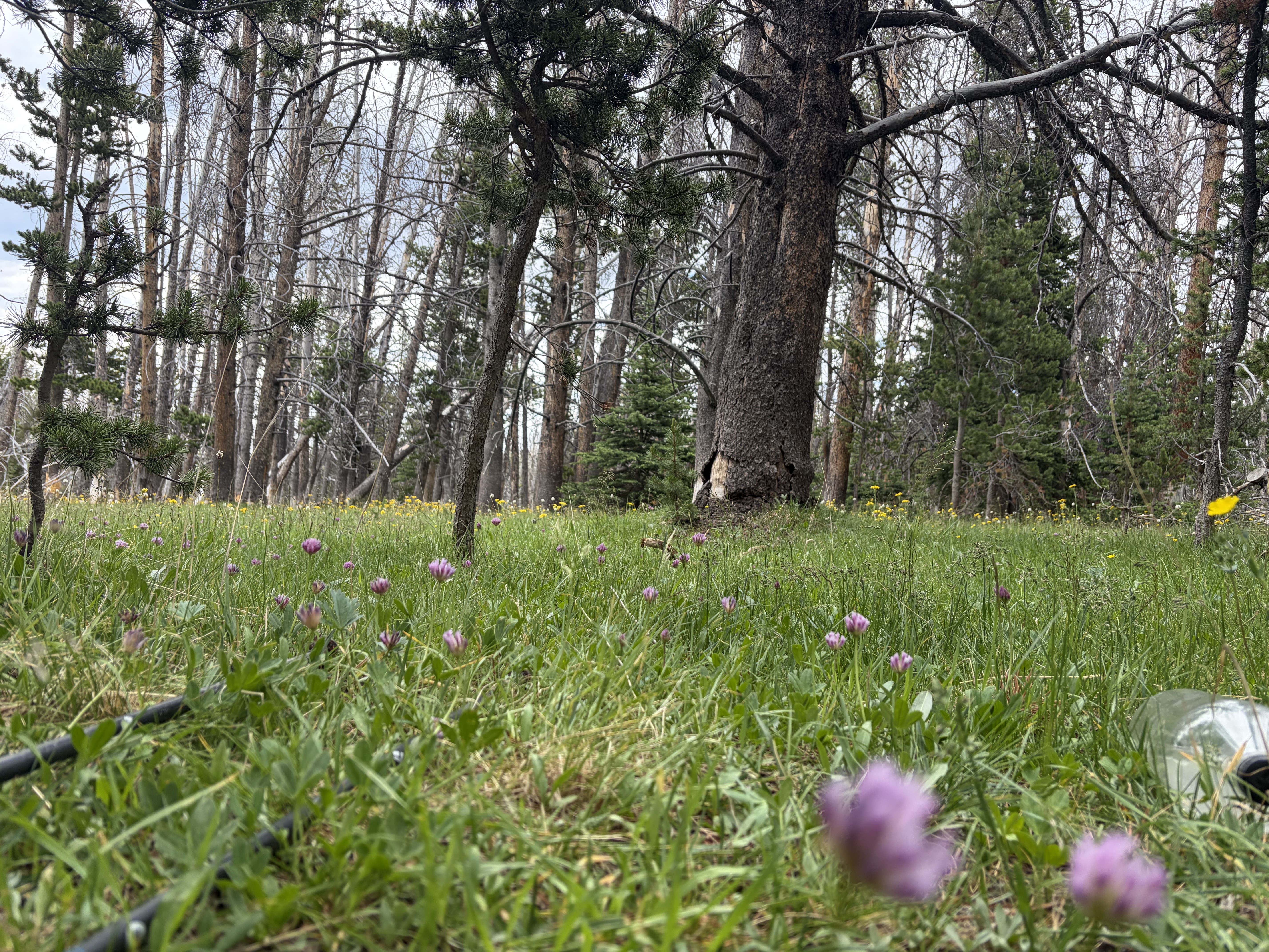
Despite feeling crappy the whole trip, the trip was super fun and my appetite for Uintas exploration is only just whetted.
1: In particular, see David Ayala’s uniquely poetic trip report here. He may be the first person I’ve ever seen write trip reports in LaTeX, and with such distinctive voice. At the other end of the spectrum, see Joey Campanelli’s report here.
Like whatcha see?
Enter your email to receive new posts in your inbox.